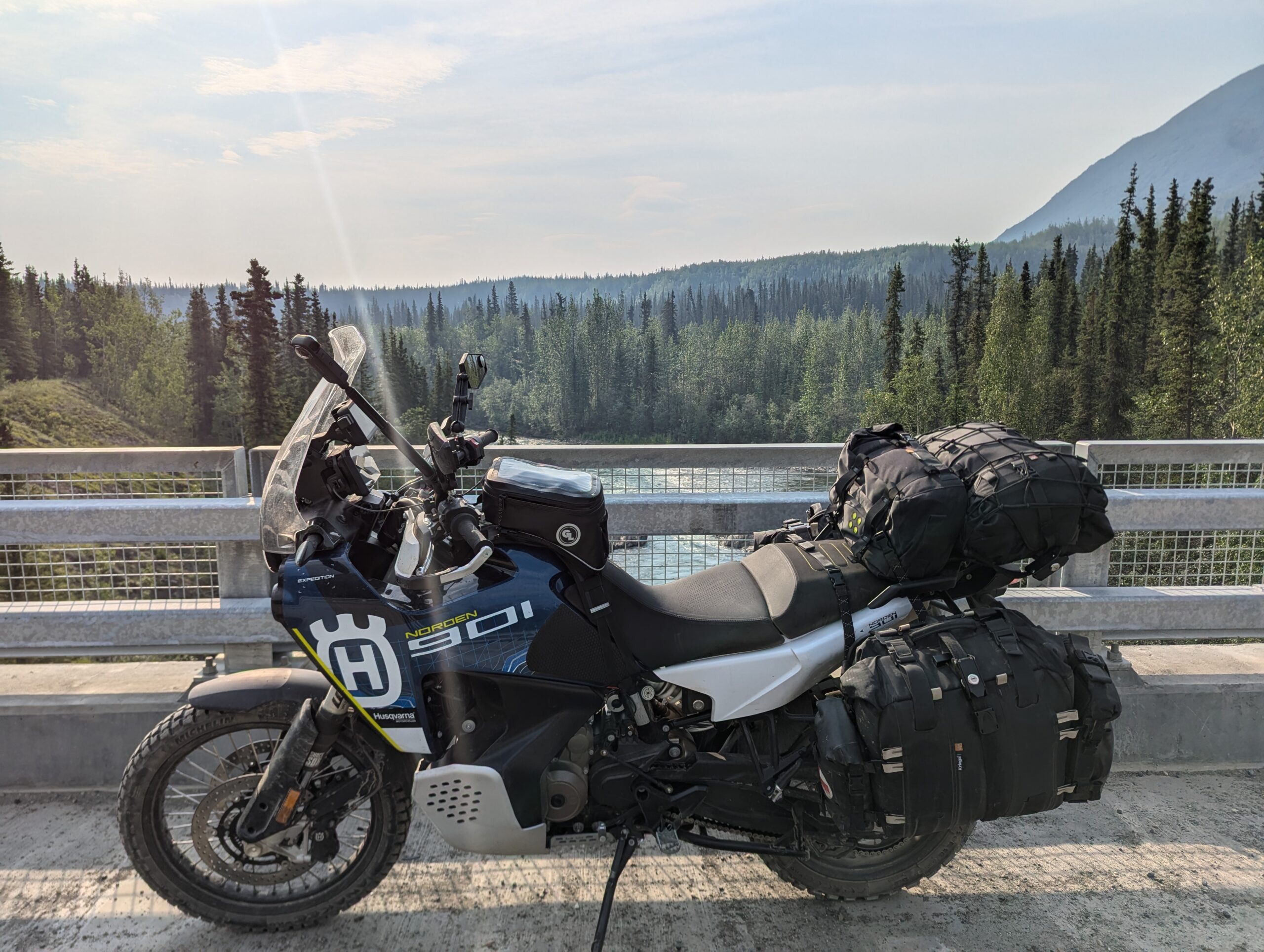
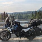
After hearing from my lodge mate that the North Canol wasn’t really worth it as a one day trip (all the good stuff starts >100km into the road) and the weather pressing me to get to Whitehorse a day early, I woke up around 6am to get ready for riding the South Canol road from Ross River to Whitehorse. While the extra trip south was pretty far out of the way, the extra trip to Ross River let me get my money’s worth out of the tires I’d had installed in Prince George.
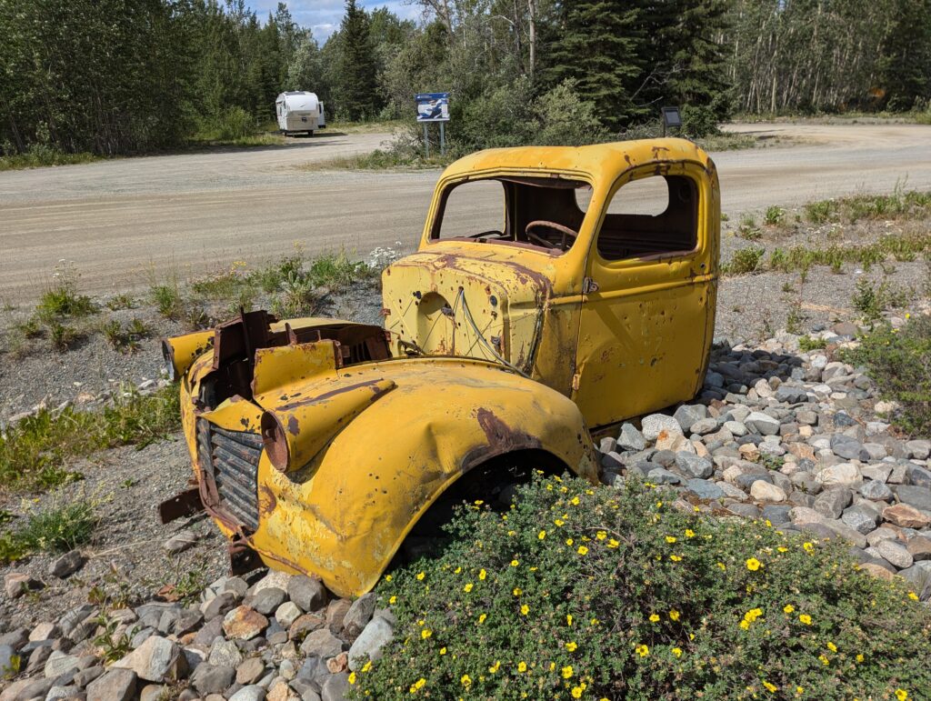
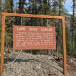
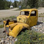
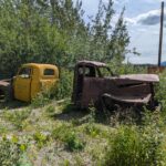
The Canol Road was created quickly during WWII to support an oil pipeline, but were quickly abandoned once the government realized that maintenance of an oil pipeline across the Mackenzie Mountains wasn’t worth it. They pulled out, abandoning tons of equipment and workshops along the highway that were too expensive to recover. The route is now considered three segments: the South Canol is a well-graded dirt road from Johnson’s Crossing to Ross River; the North Canol is passable two-track from Ross River to the NWT Border; and the Canol Trial which is only navigable by foot/bicycle and rafts.
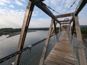
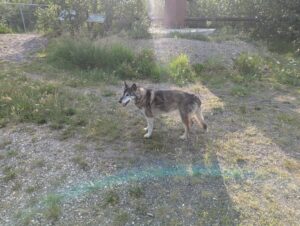
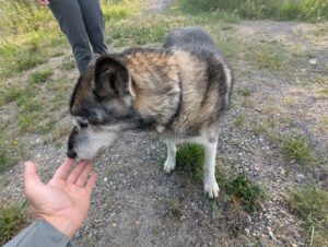
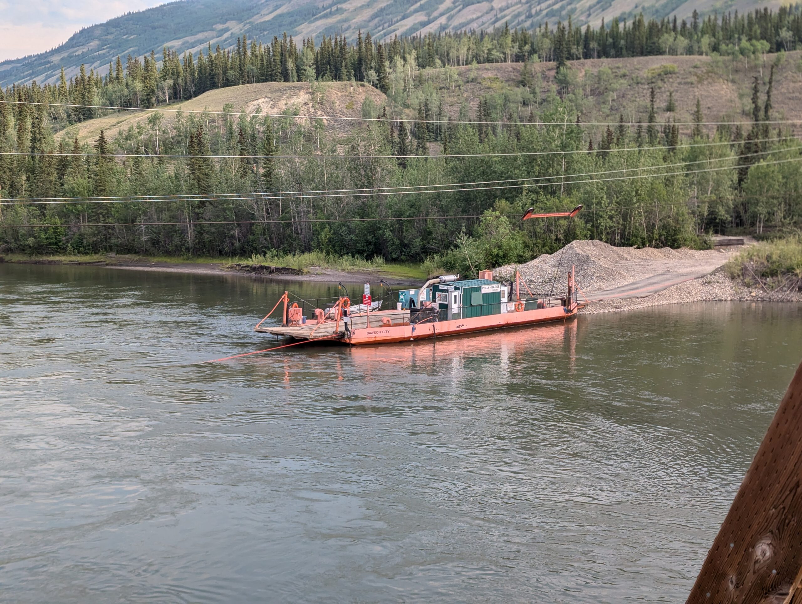
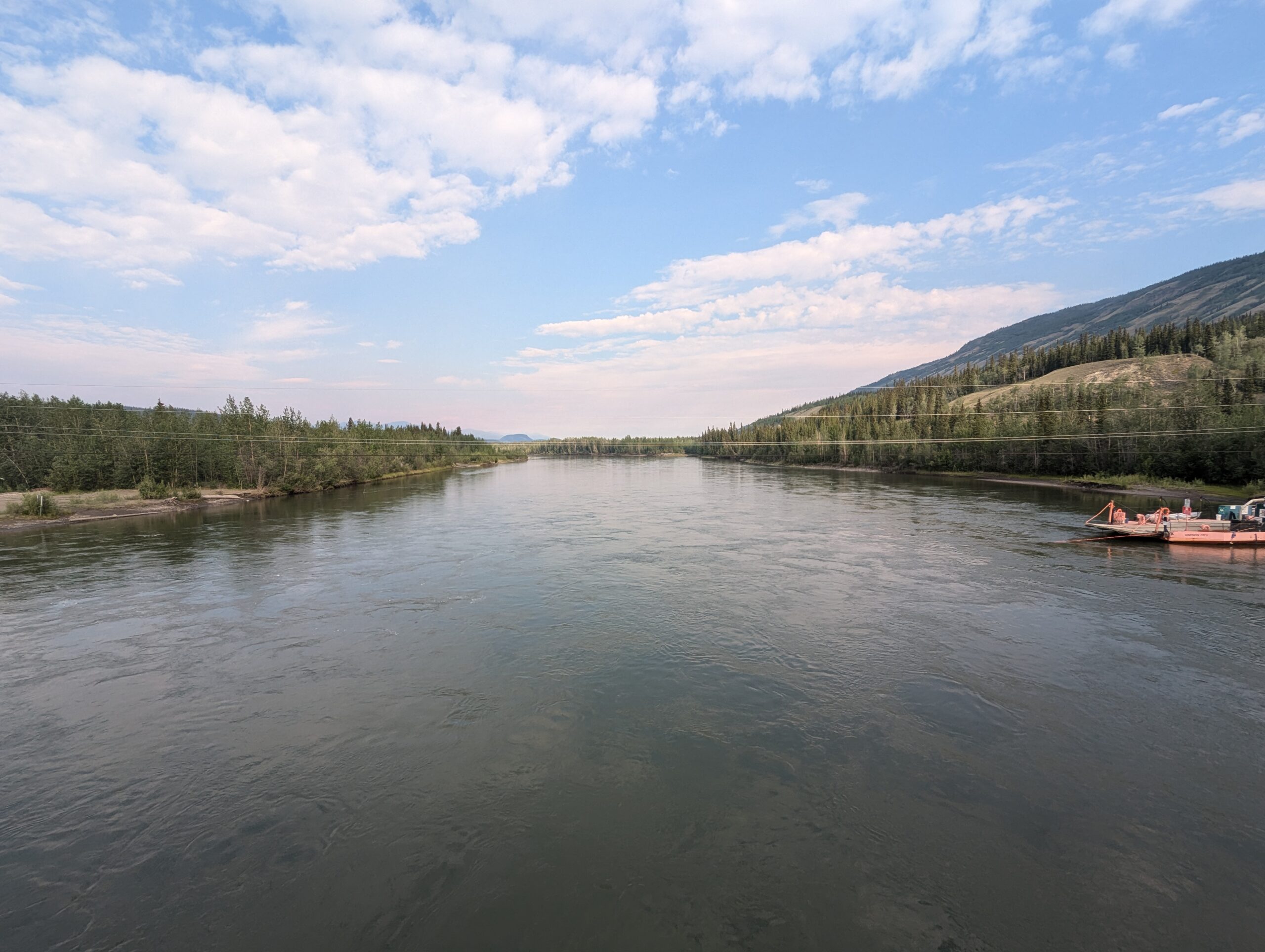
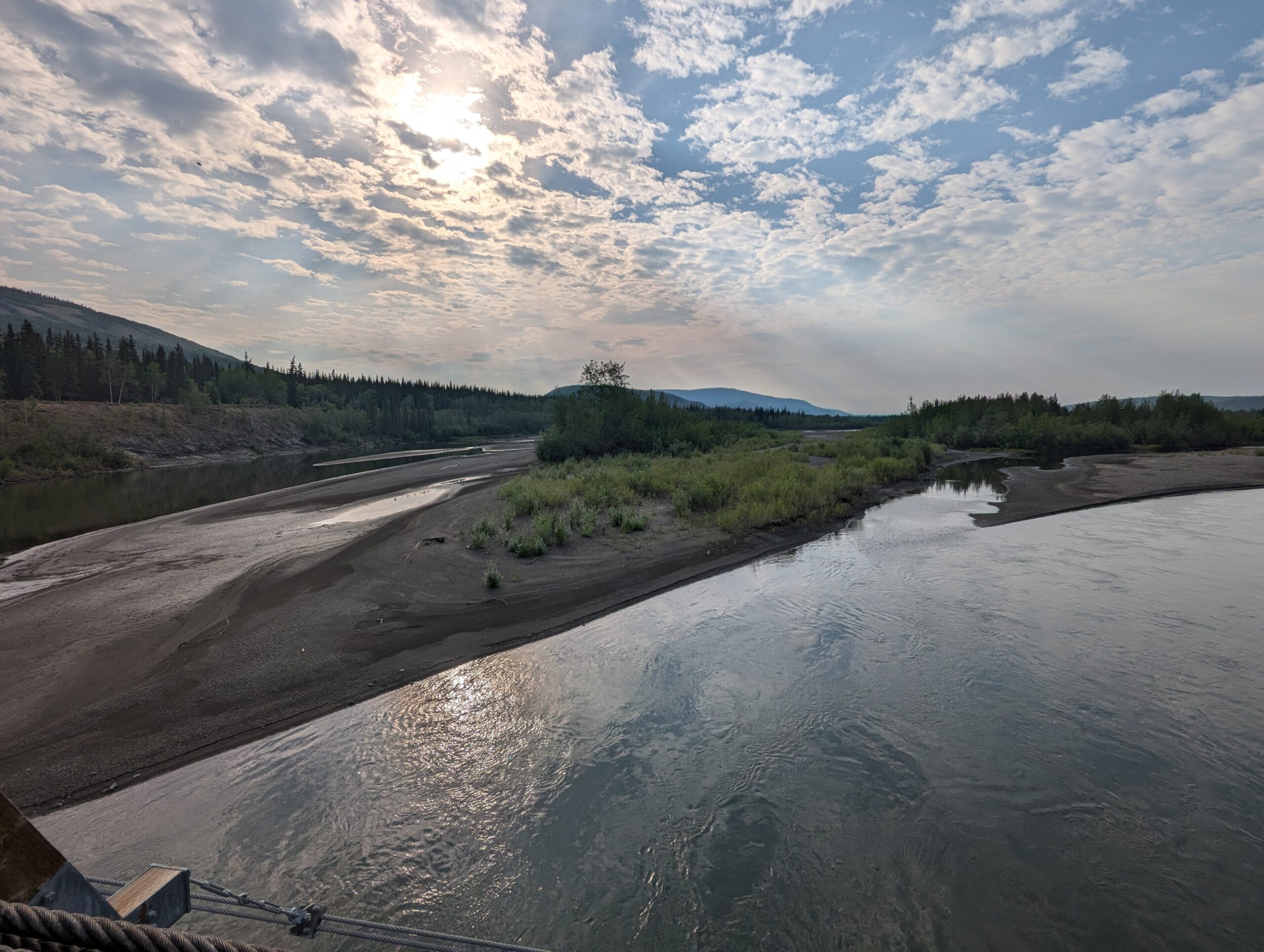
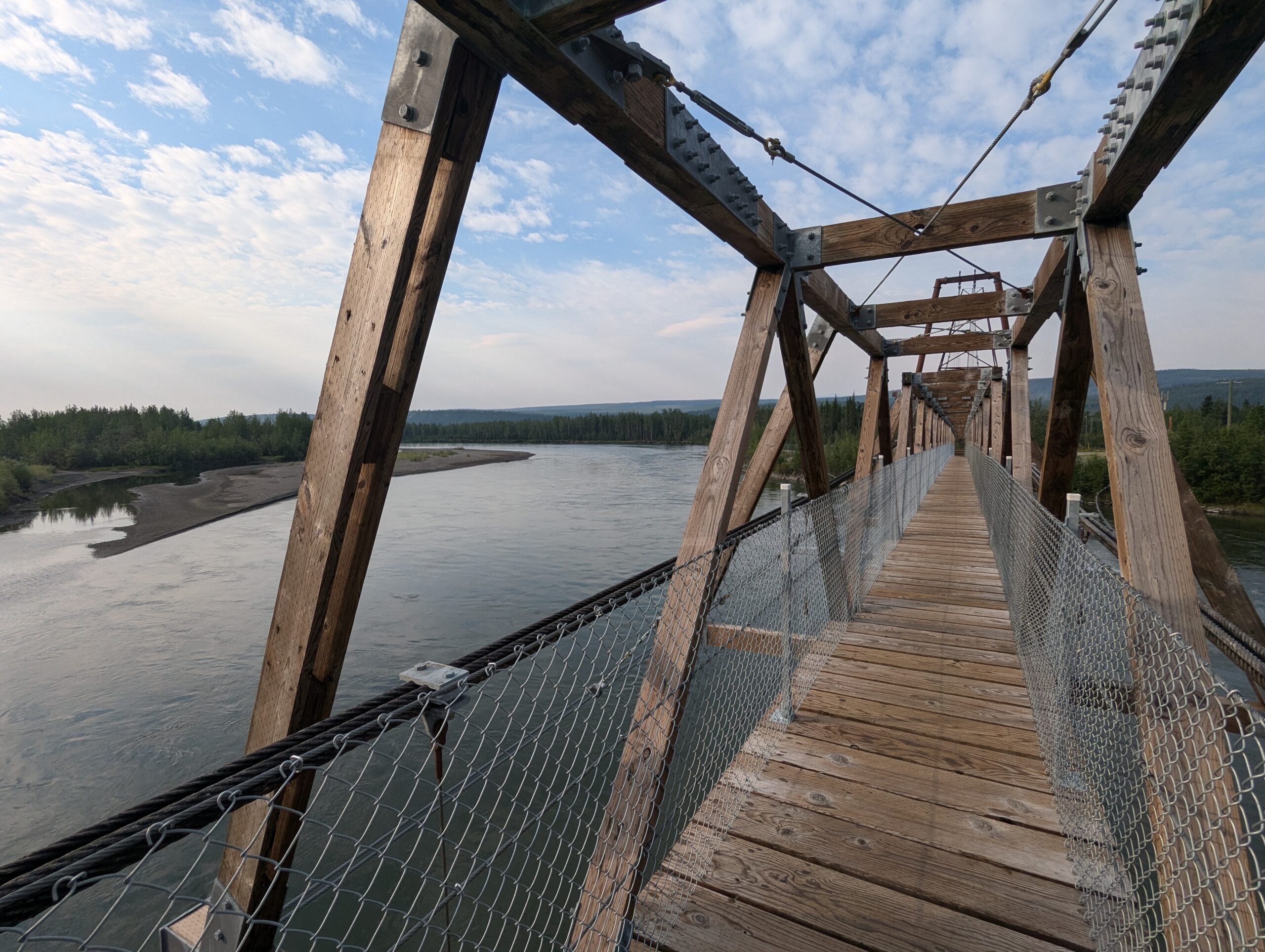
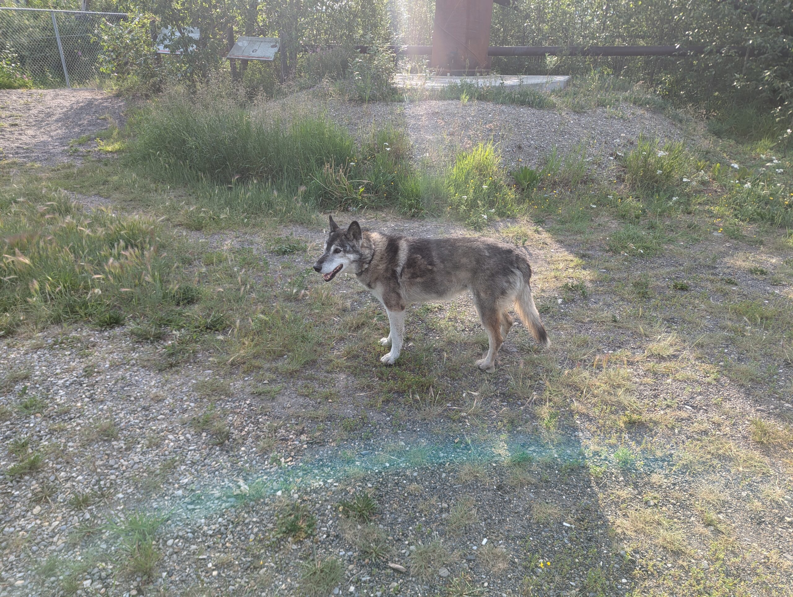
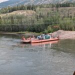
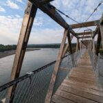
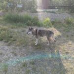
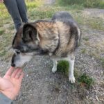
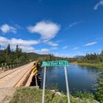
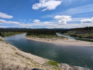
Before hopping on the South Canol, I stopped by the river to check out the ferry and the pedestrian-only suspension bridge. While I was there, I met Nina, a retired sled-dog living out her golden years in the remote town of Ross River.


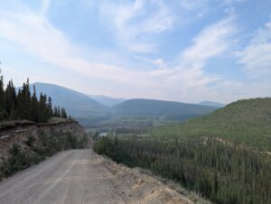
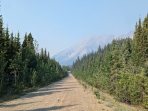
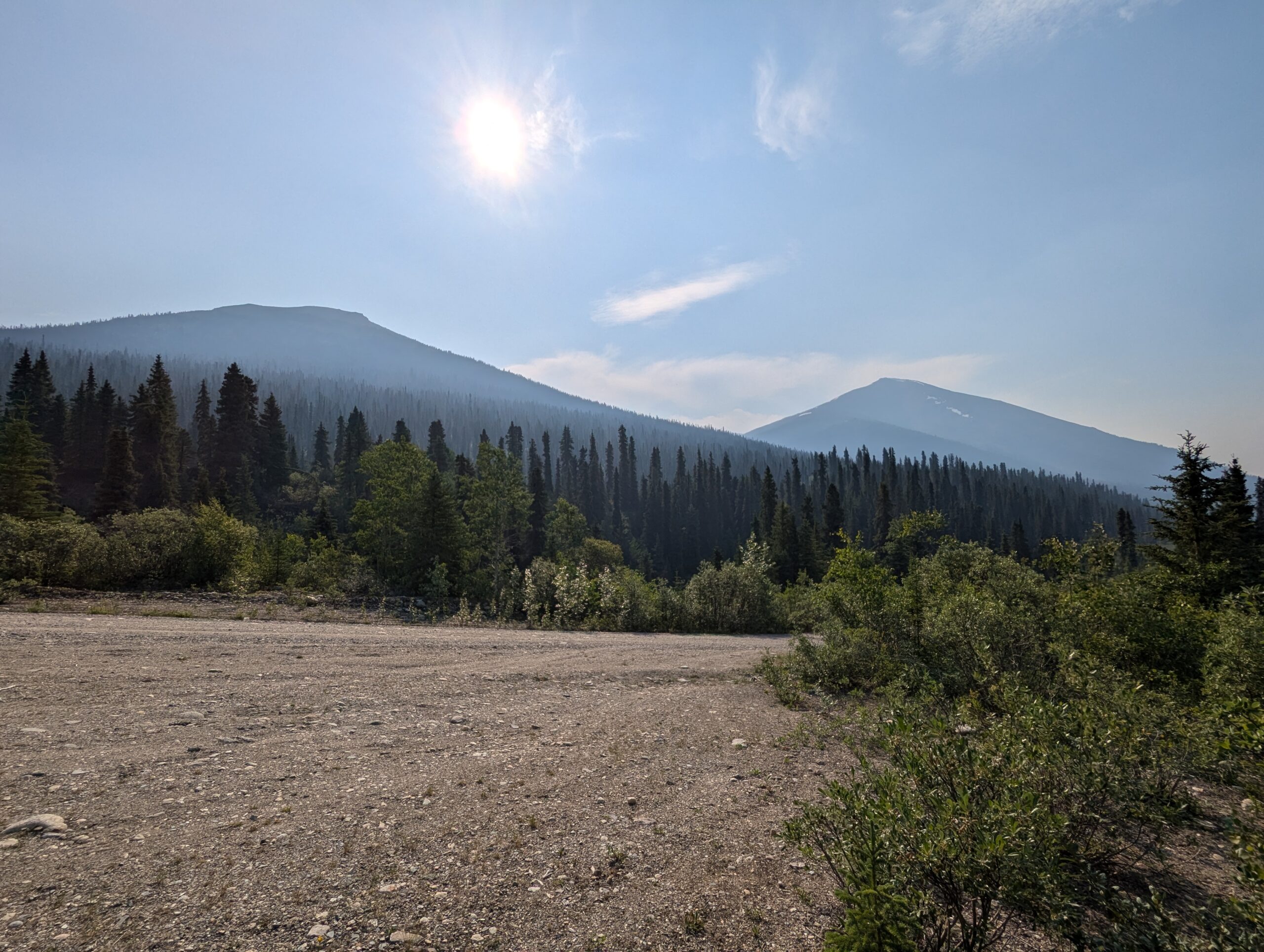
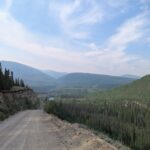
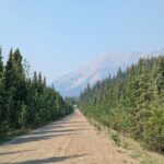
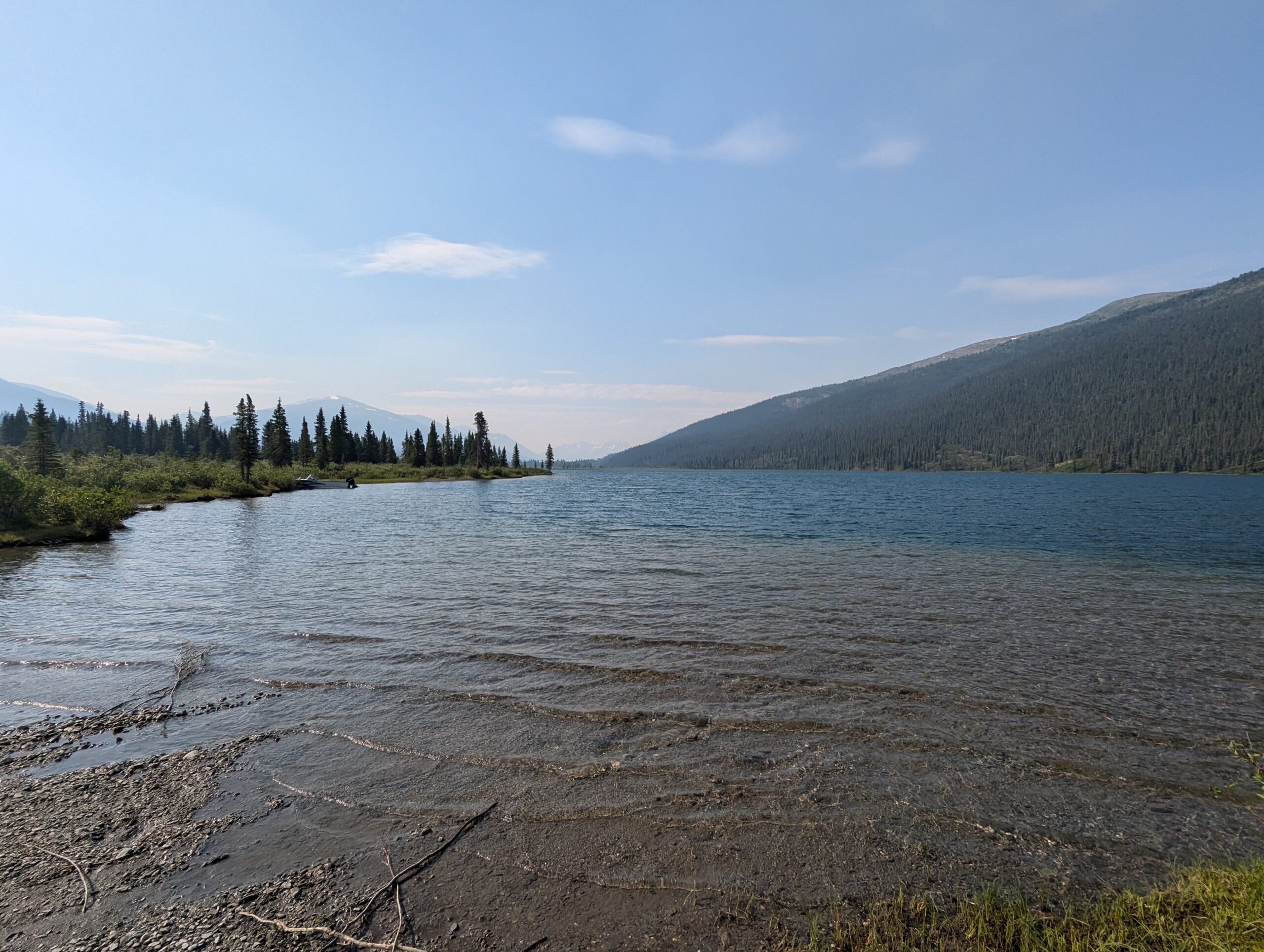
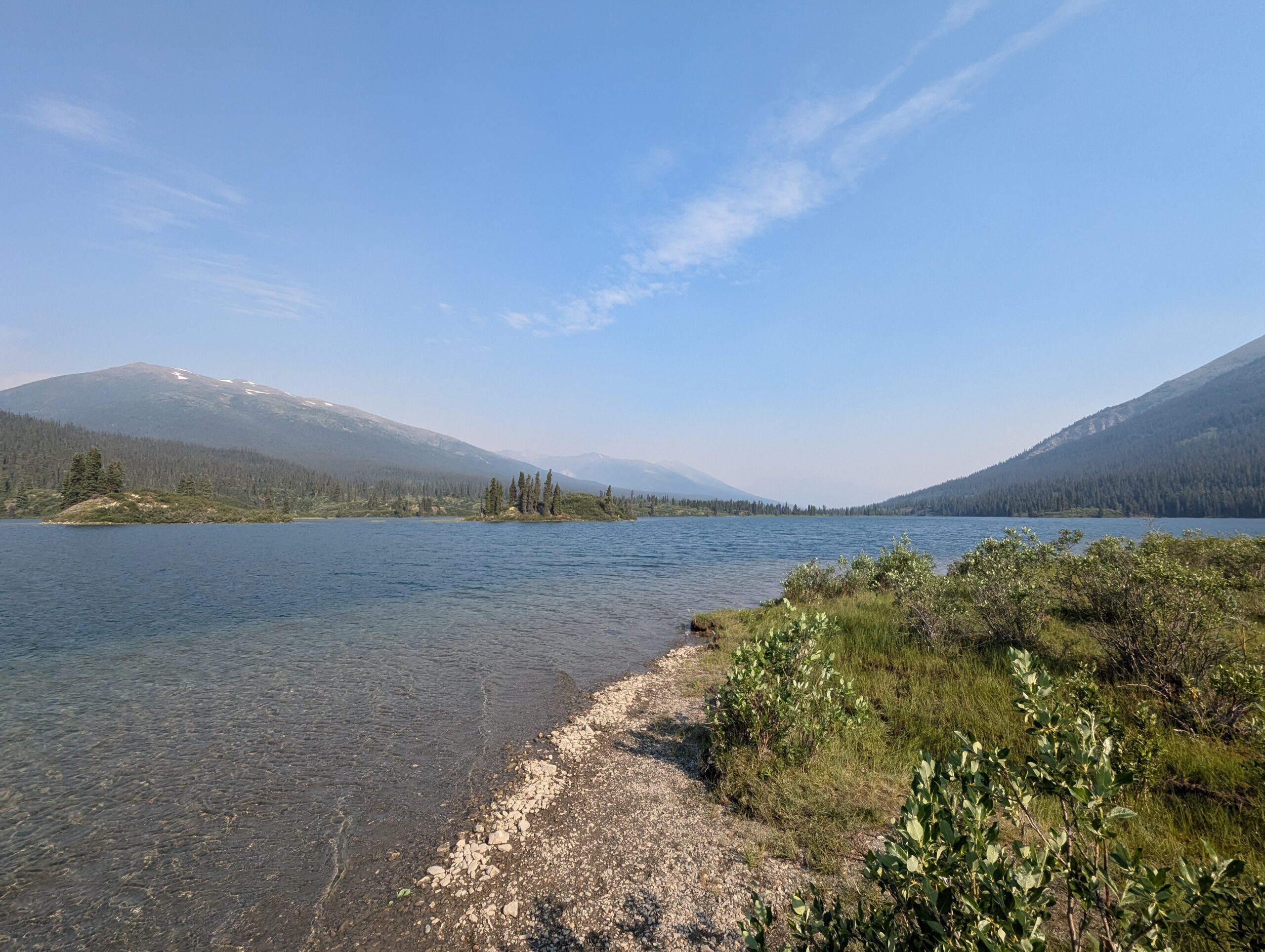
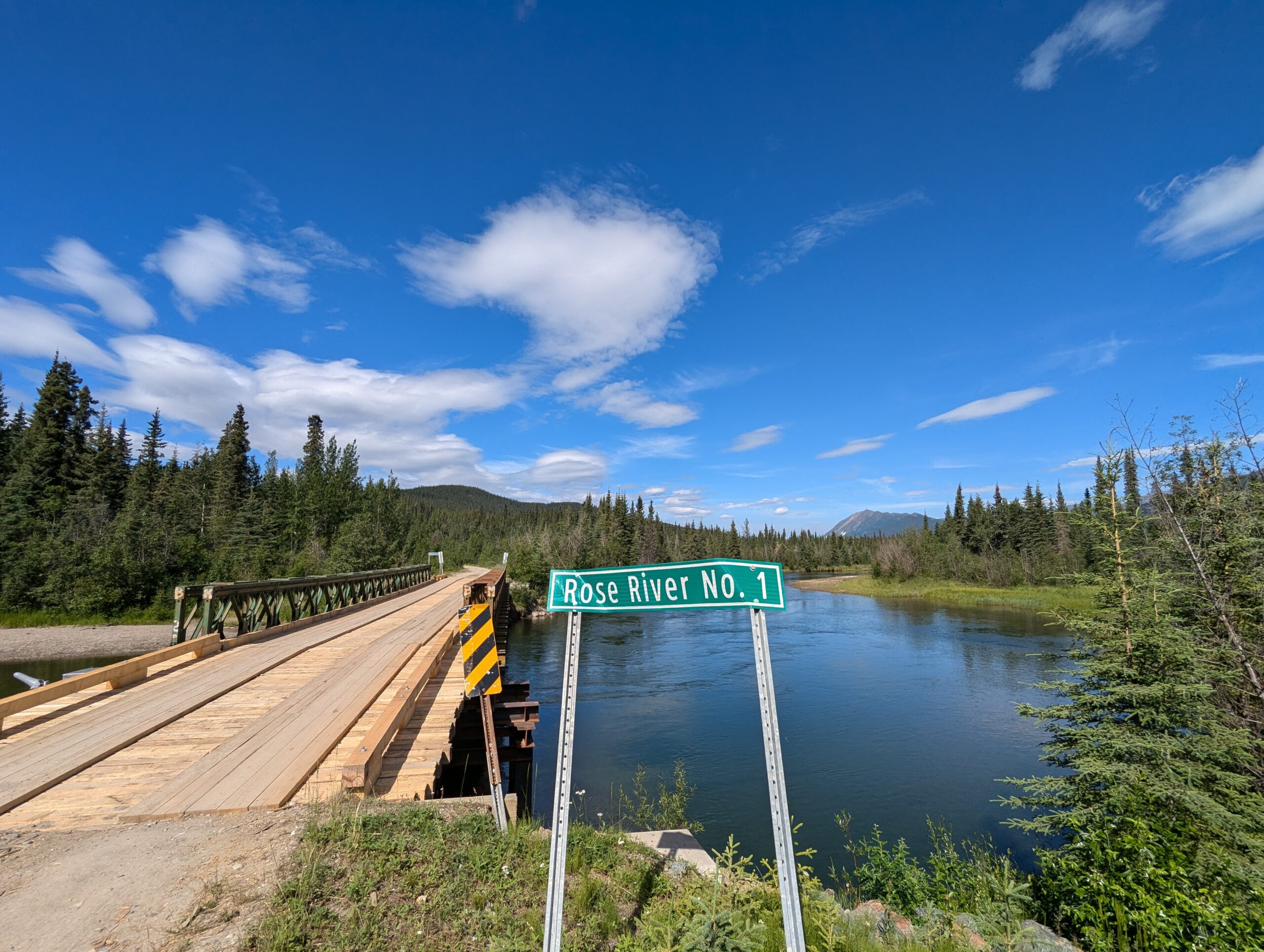
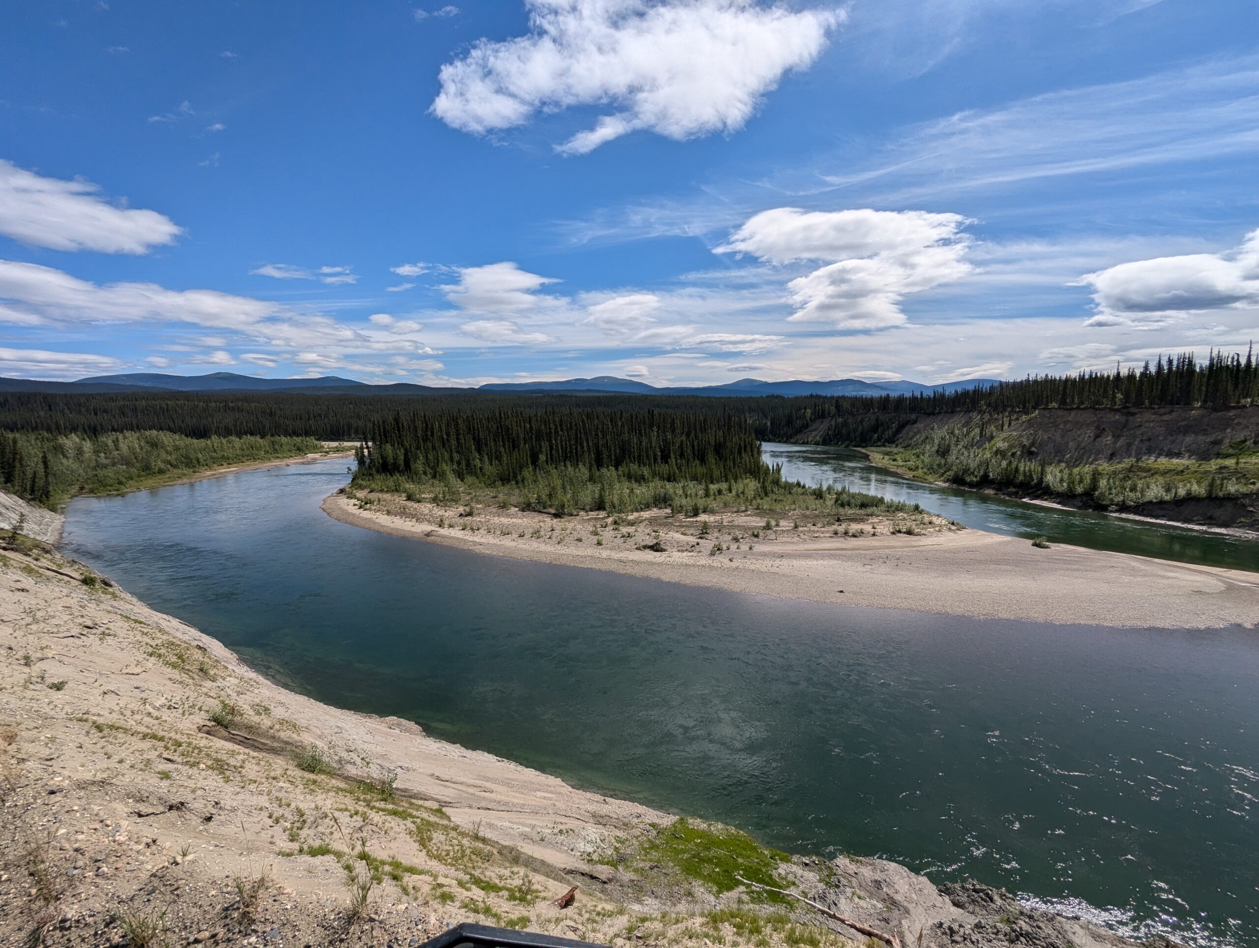
The first 70km of the South Canol were incredible. The road was pretty well graded here, supporting a solid average speeds of 50-60kph. There were a few rough sections and a couple of places where the gravel had been swept away or covered by mudslides, so I was happy I made the call to ride when the road was dry — these sections would have been a handful if it was muddy.
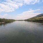
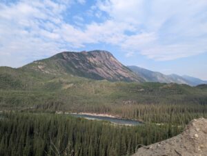
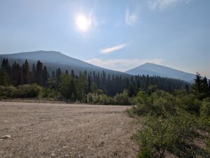
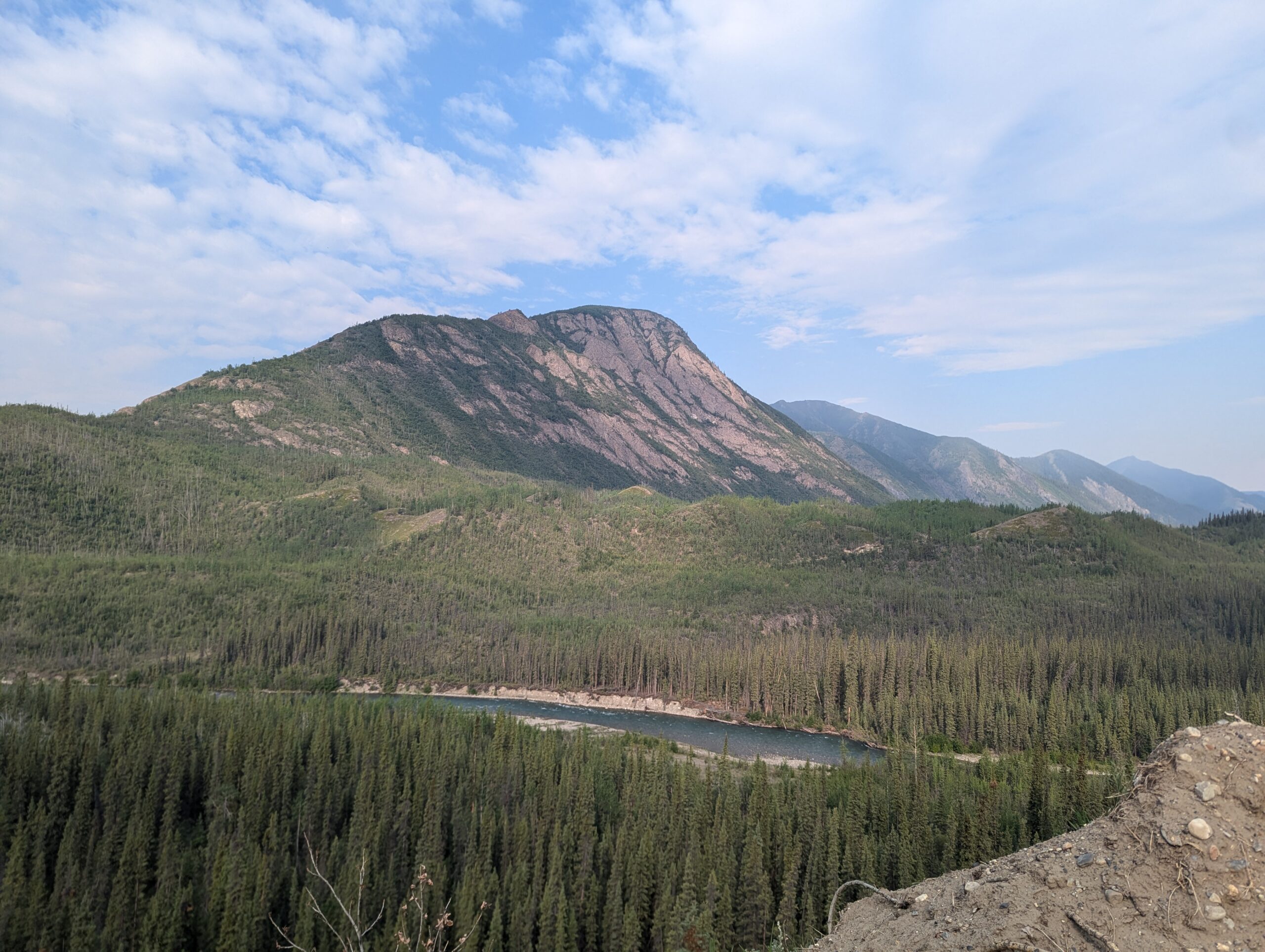
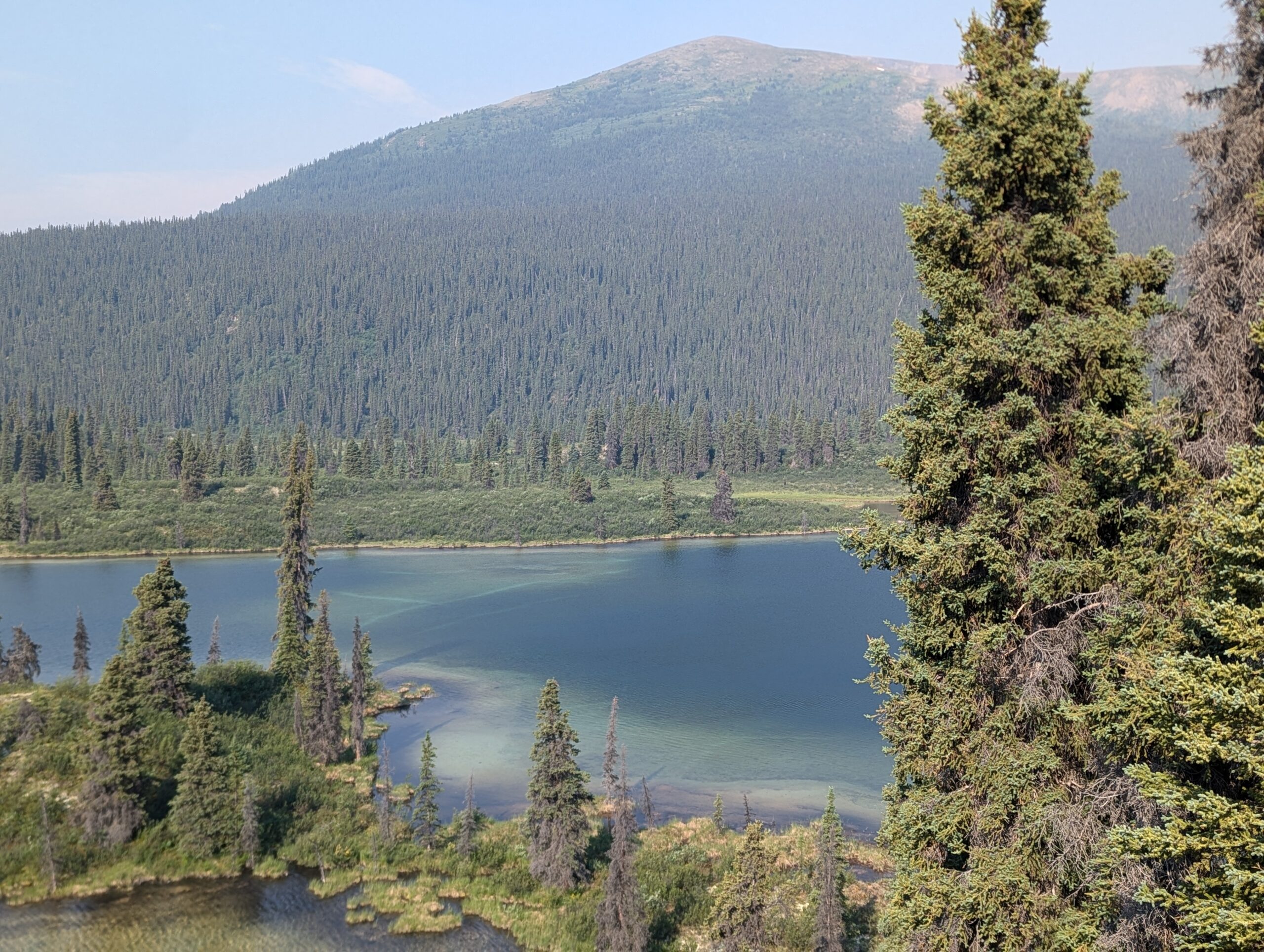
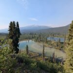
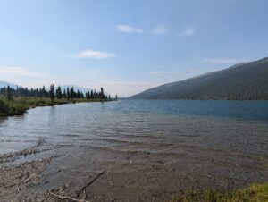
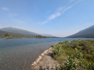
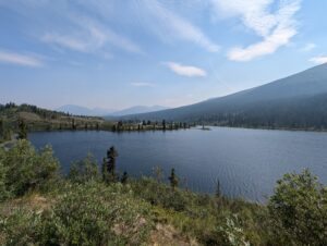
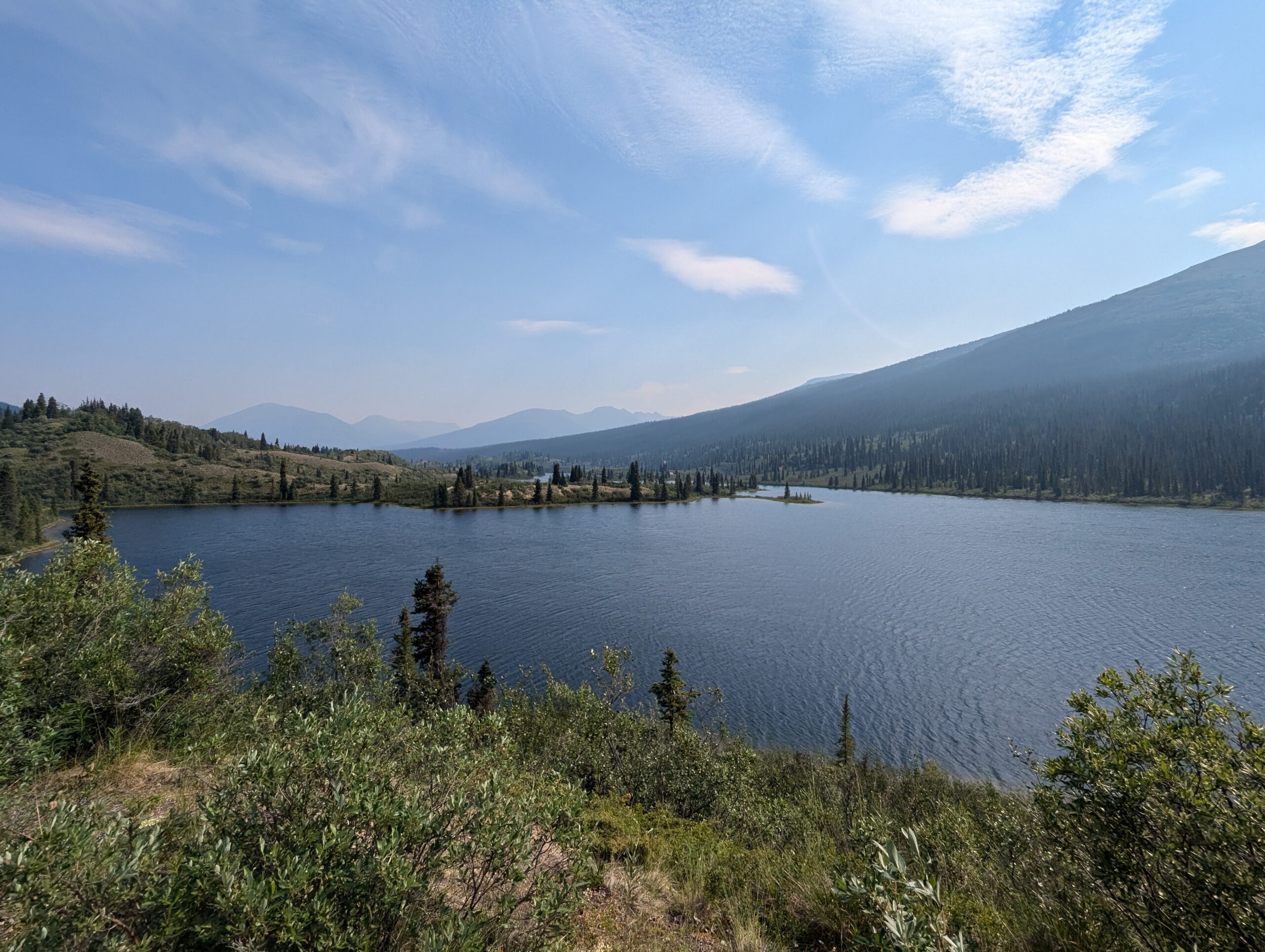
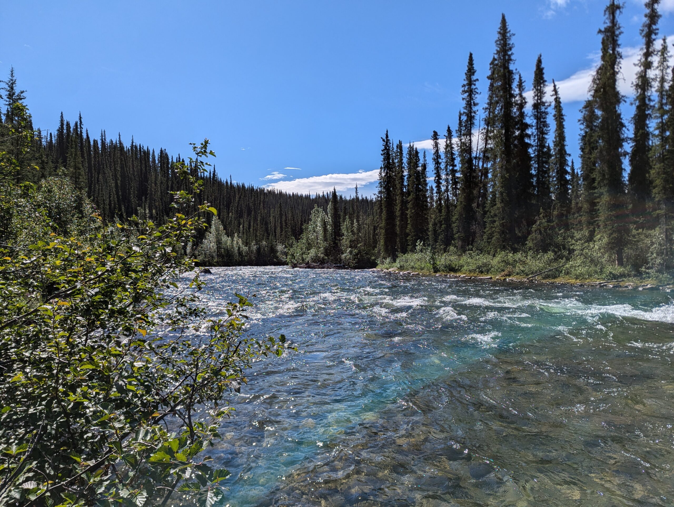
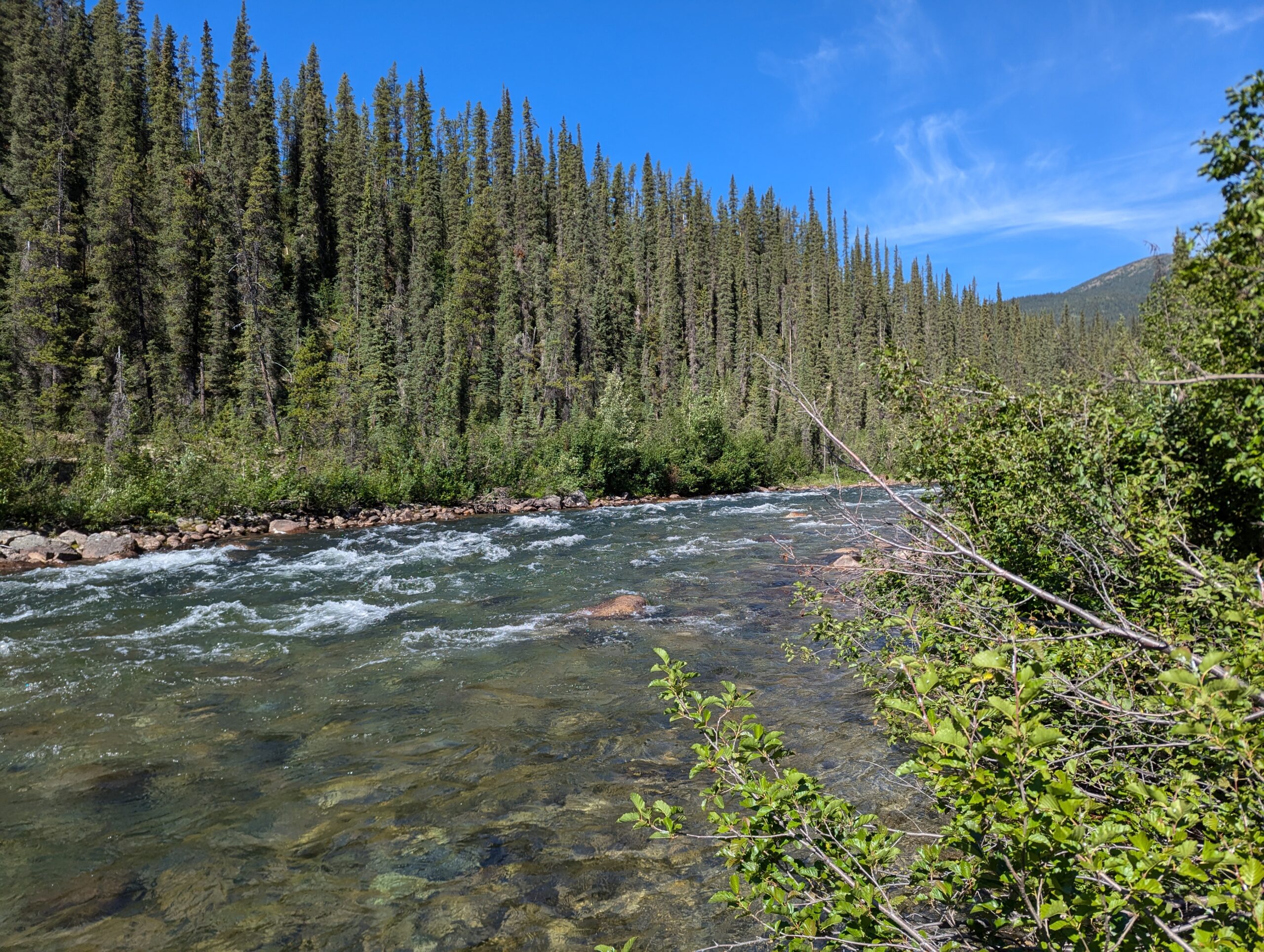
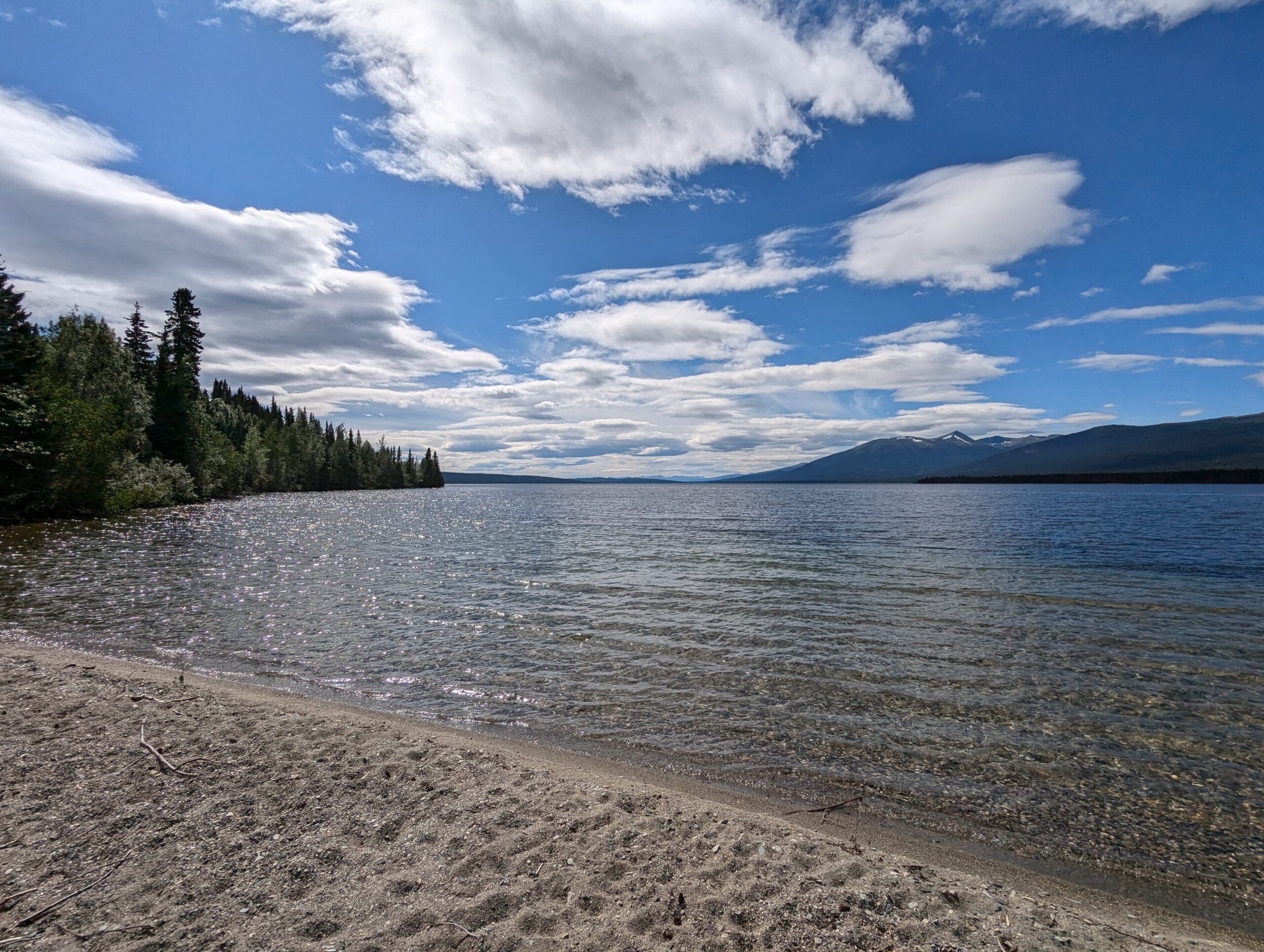
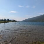
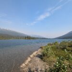
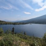
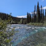
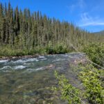
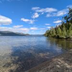
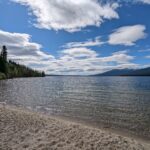
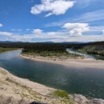
While the road conditions were good, the views were even better. The road followed along ridgelines with river valleys and lakes on both sides. The lakes and rivers were transparent blue, and the valleys gave views for miles. There was a mild haze of wildfire smoke, and the morning sun gave a the light a red tint and an eerie ambiance as I rode.


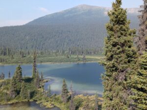


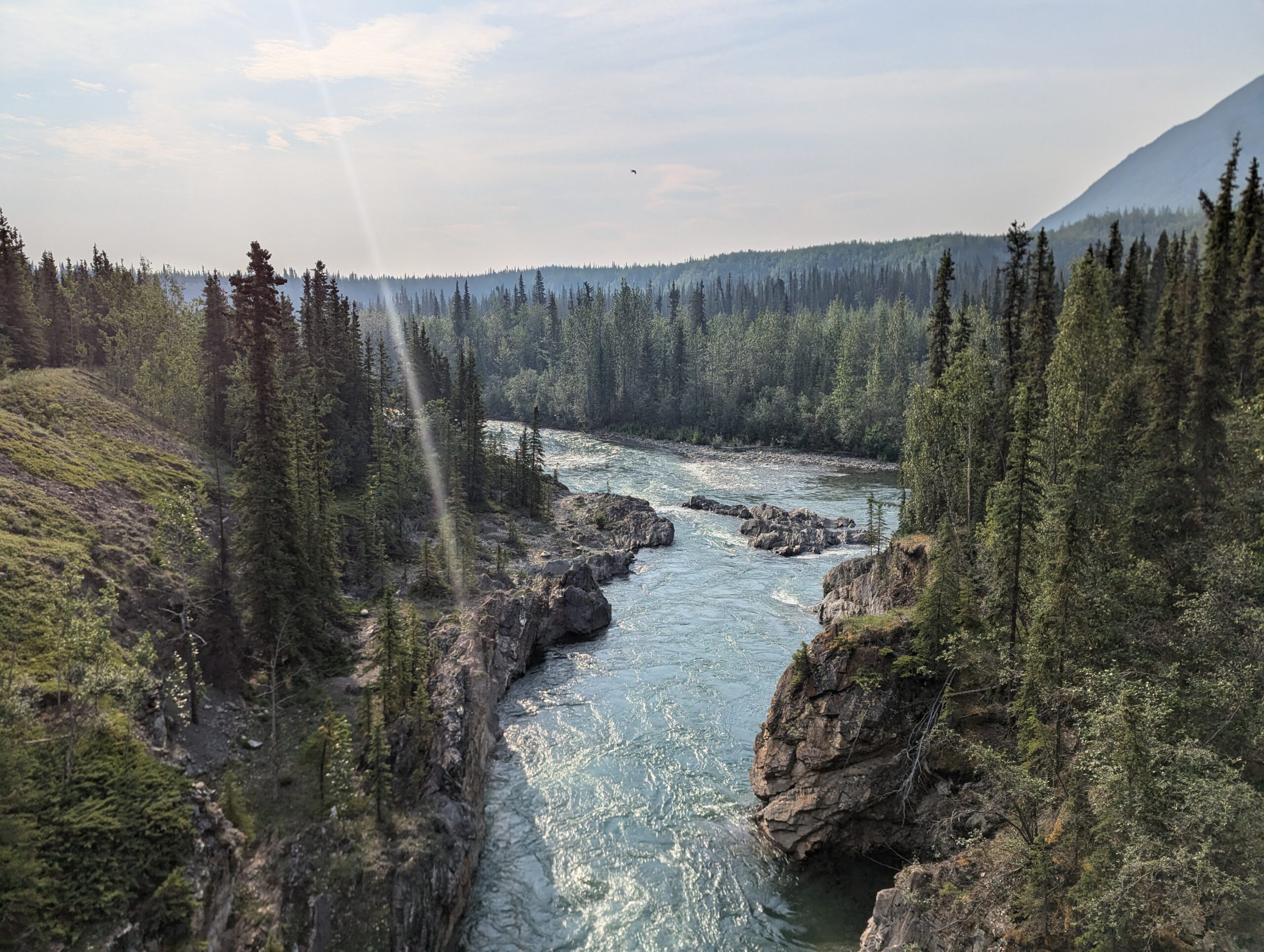
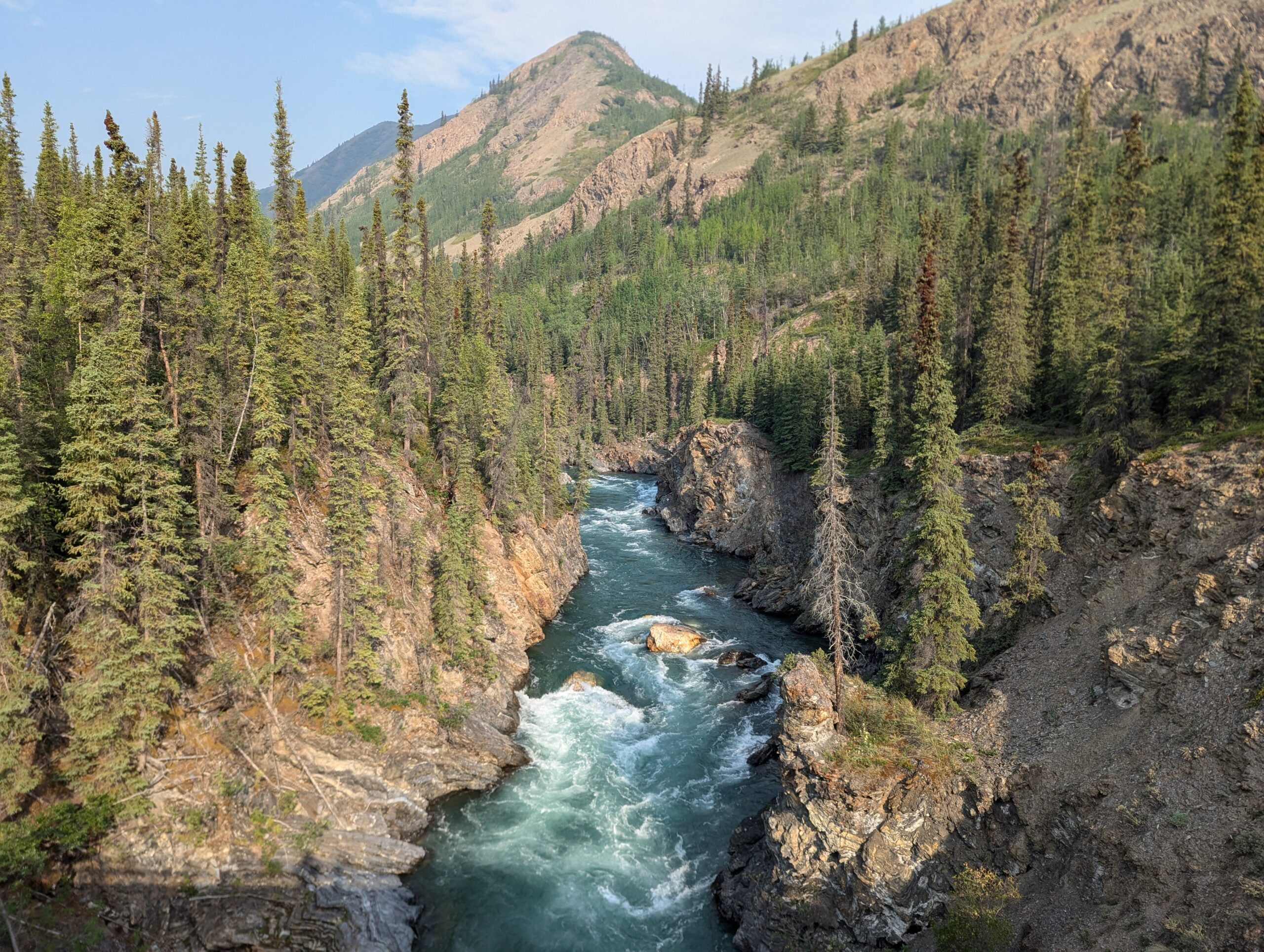
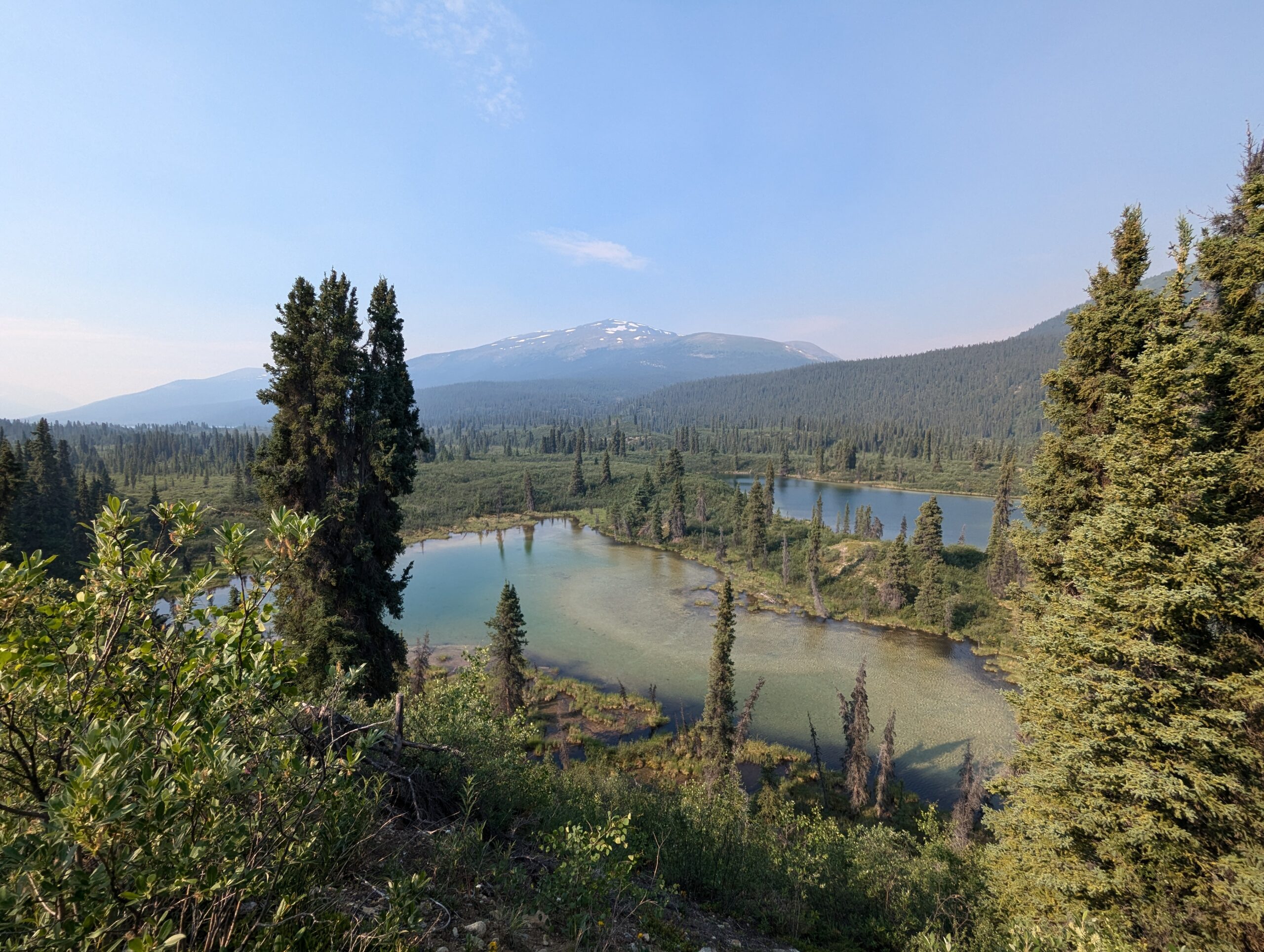
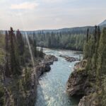
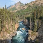
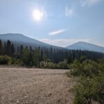
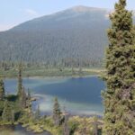
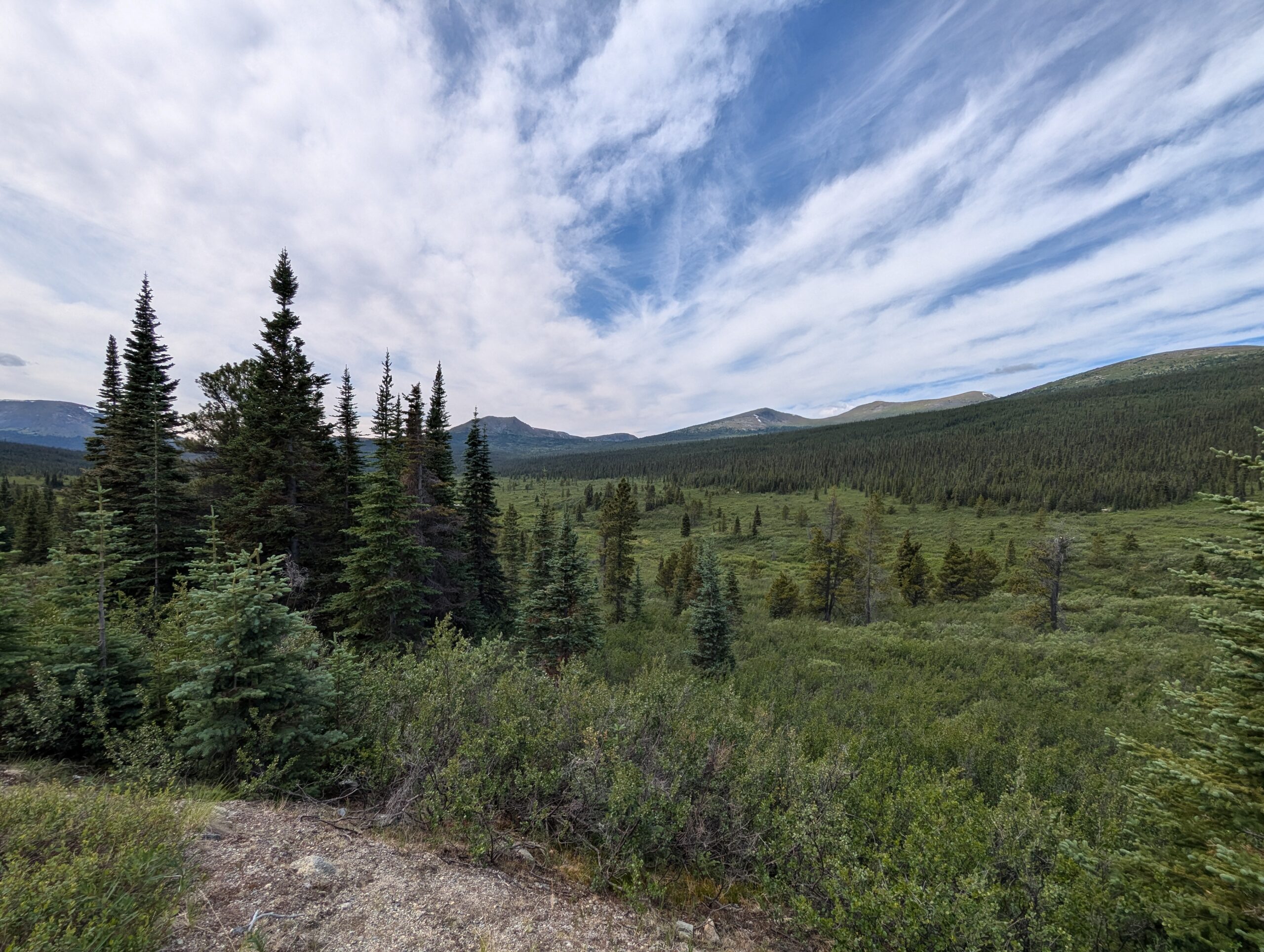
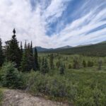
After about 70km, the vegetation started to close in around the road. The views while riding pretty much went away, but at least for a while there were pull-offs, campgrounds, and picnic areas where you could see the fantastic lakes, creeks, and rivers that the river followed.


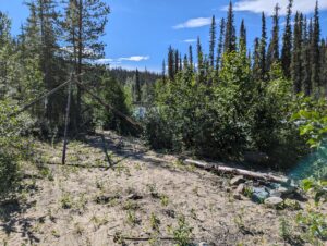


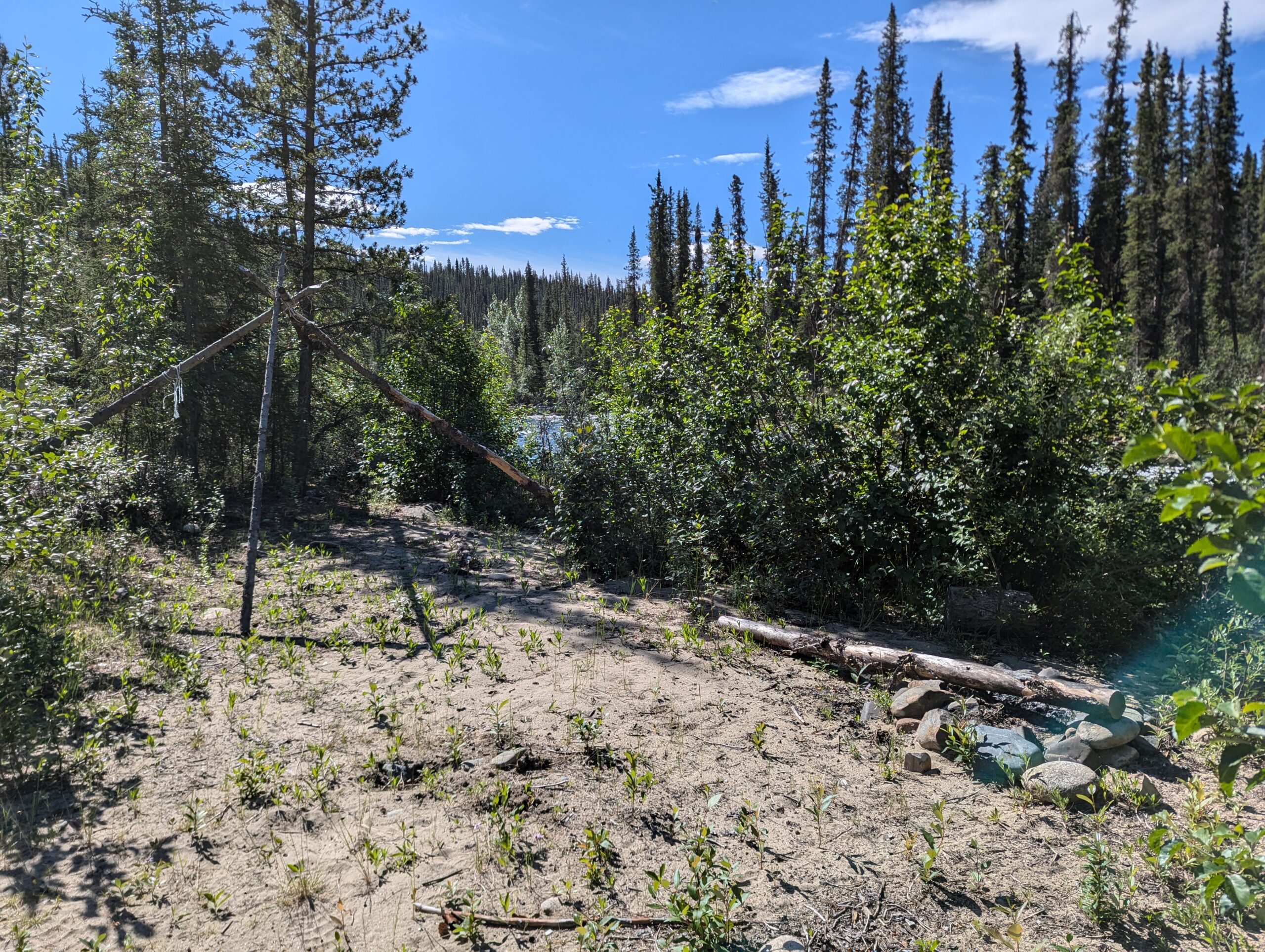

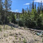
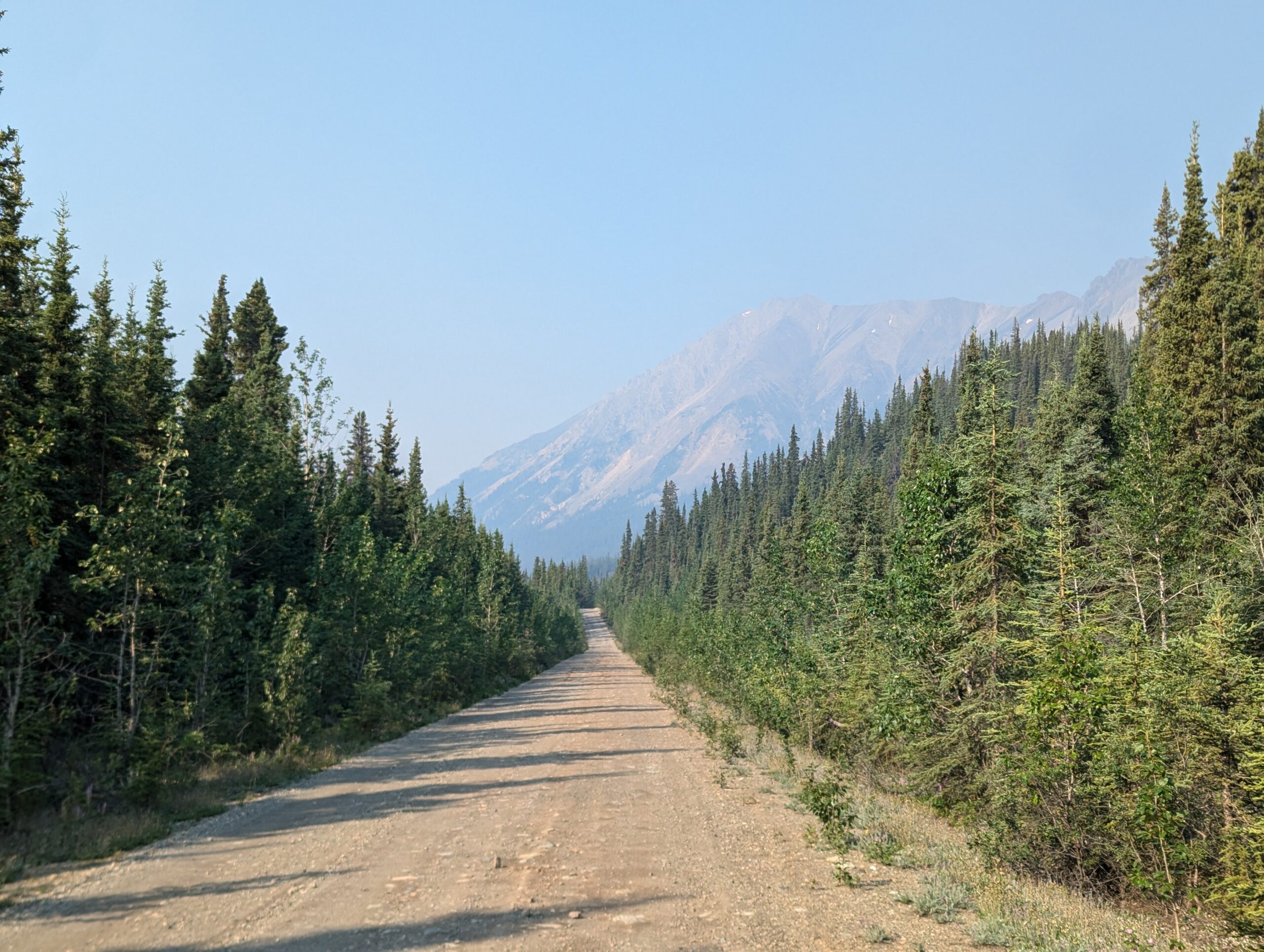
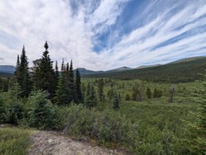
Soon, however, even these petered away and there was over 100 kilometers where there were no views at all, just trees and bushes slowly growing onto the road surface. There were a few access roads that lead to surprise views, but for the most part it was just the road itself and the brush. As the road got closer to the Alaska Highway it was also more traveled, and this manifested in more washboard, potholes, and ruts. All-in-all it became somewhat of a mental and physical stress test for more than 100km before the road opened up again.
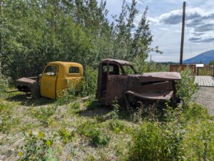
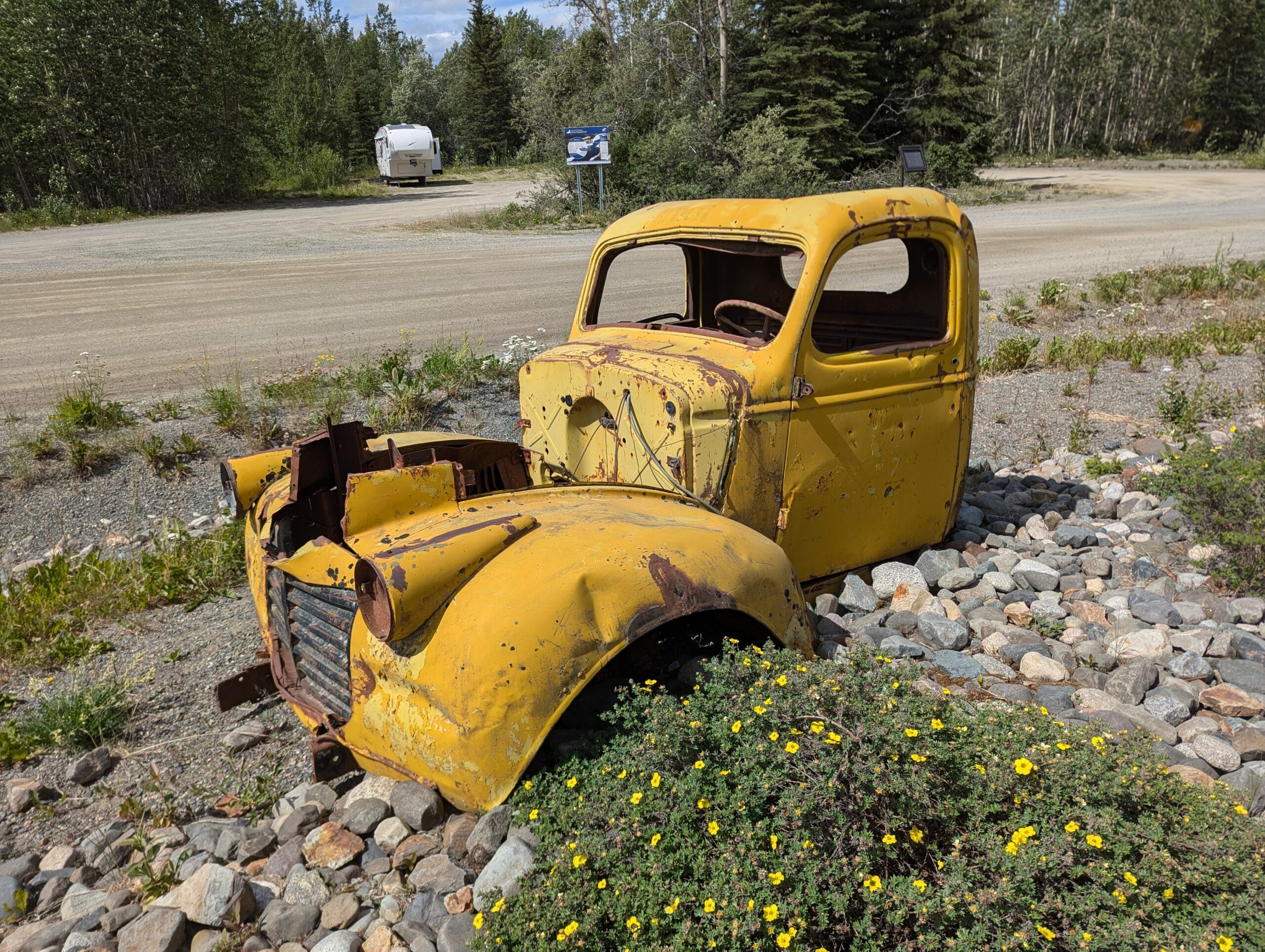
Sadly there weren’t any of the abandoned vehicles until the end of the road where they were set up as a display. While I loved the ride (and it was the only way to avoid substantial backtracking to get from Ross River to Whitehorse), I left having unfinished business with the North Canol. I definitely want to come back with a lighter bike and a few days to go out explore.


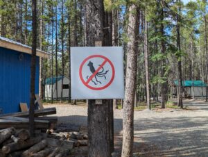
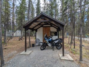
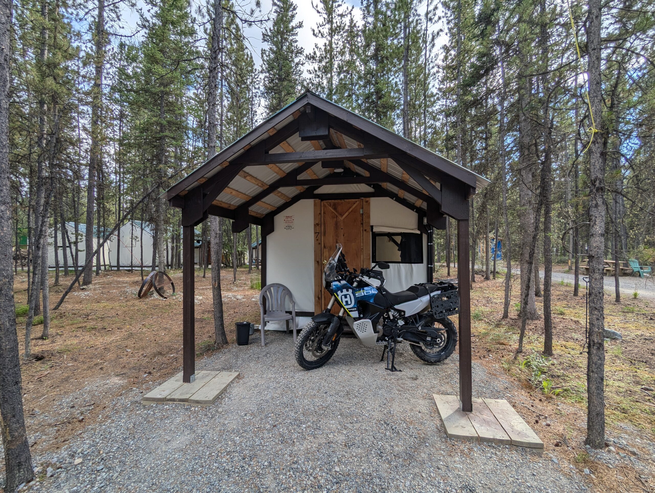
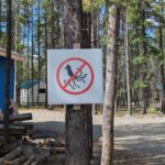
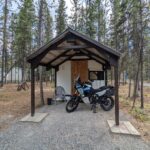
After 200km on the fairly rugged South Canol, I rejoined the Alaksa Highway and headed west into Whitehorse. My accommodations for the next two days are the motorcycle-only Yukon Motorcycle park, where I’m glamping with a walled tent complete with a motorcycle porch. I’ll use my extra day to get fresh rubber on the bike (again), grab some final supplies, and prepare for the push up the Dempster.