Dease Lake to Watson Lake
Since I’d completed the my run down Telegraph Creek the night before, I was able to have a slow start and enjoy my coffee before heading off around 10am. I stopped to fill my my gas and grab some coffee and a breakfast sandwich before rejoining the highway. The road signs warned of the lack of services for hundreds of kilometers at a time, but still within my fuel range. Despite my goal being to get north, the route headed mostly east around the Cassiar mountains (which give the Stewart-Cassiar Highway half of its name).
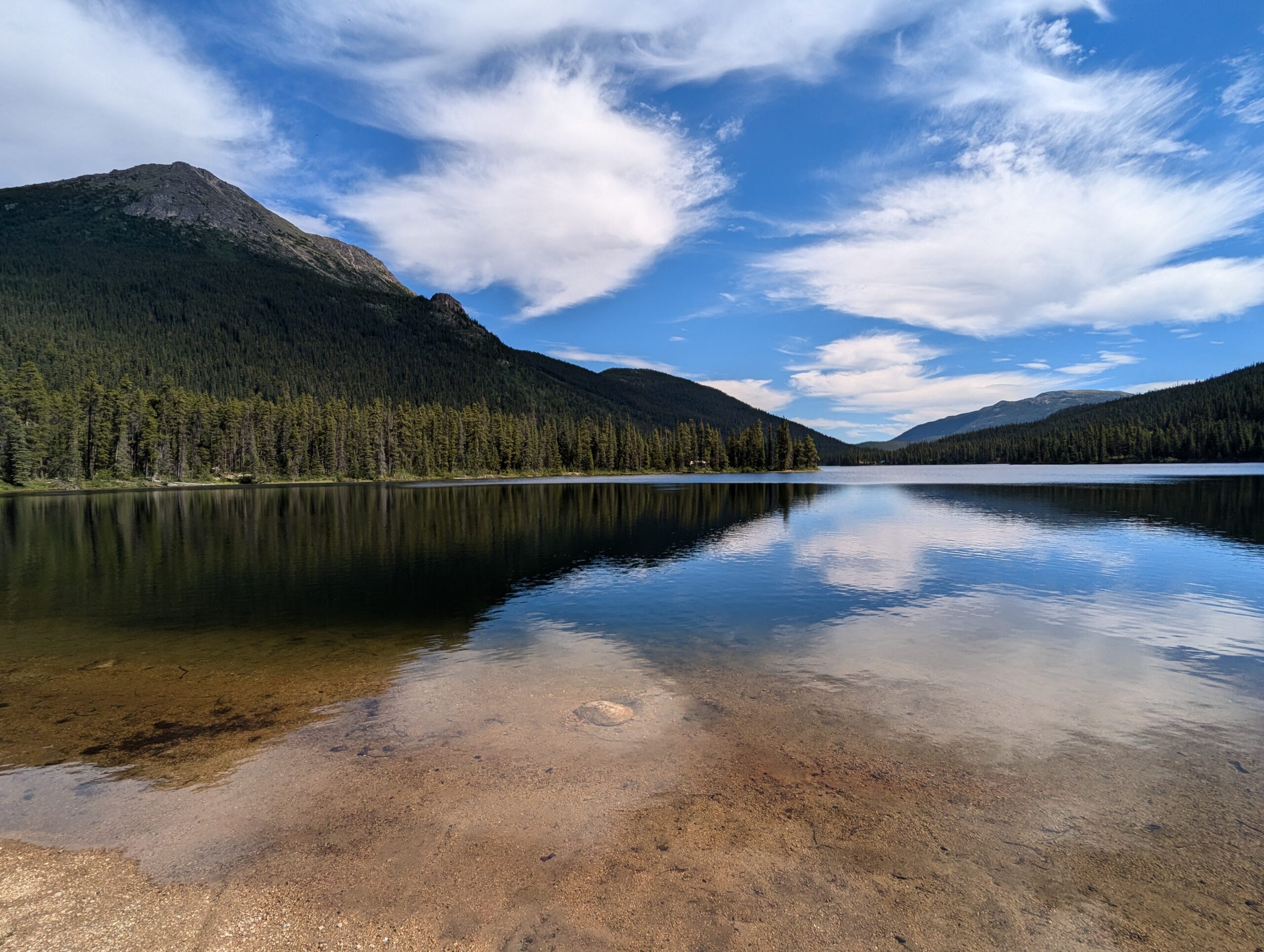
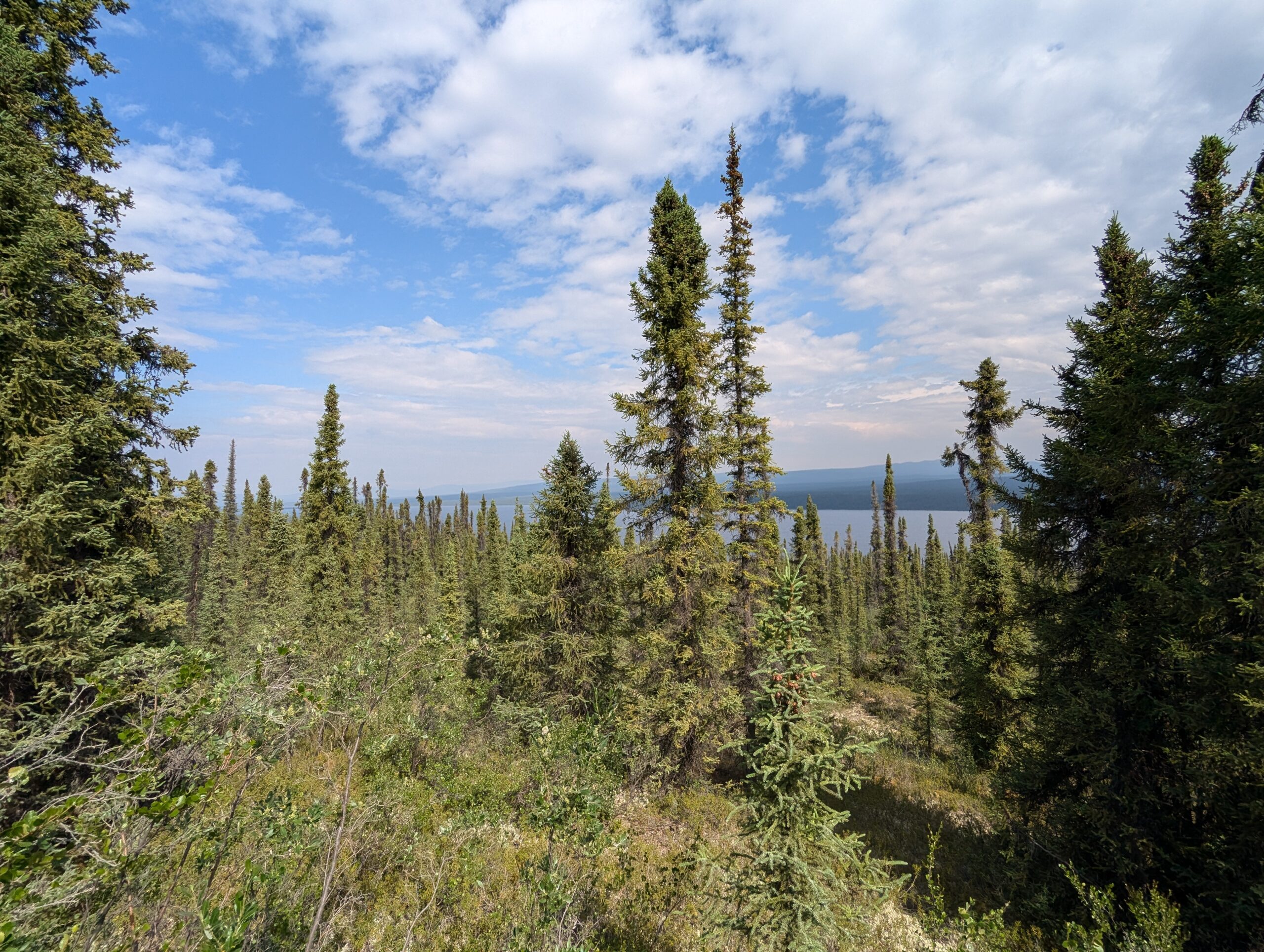
Just like previous days, the road was pretty but without a lot of turn-offs to take in the sights. There were also tantalizing glimpses at rivers, lakes, and gorges just beyond the tree with no way to get to them. I finally found a little access road down the a lake shore to stop for some coffee and, if I weren’t already sure, the bugs reminded me that I was getting to the proper North now.
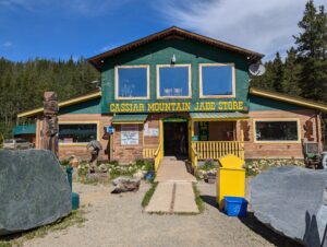
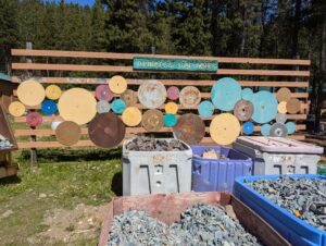
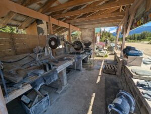
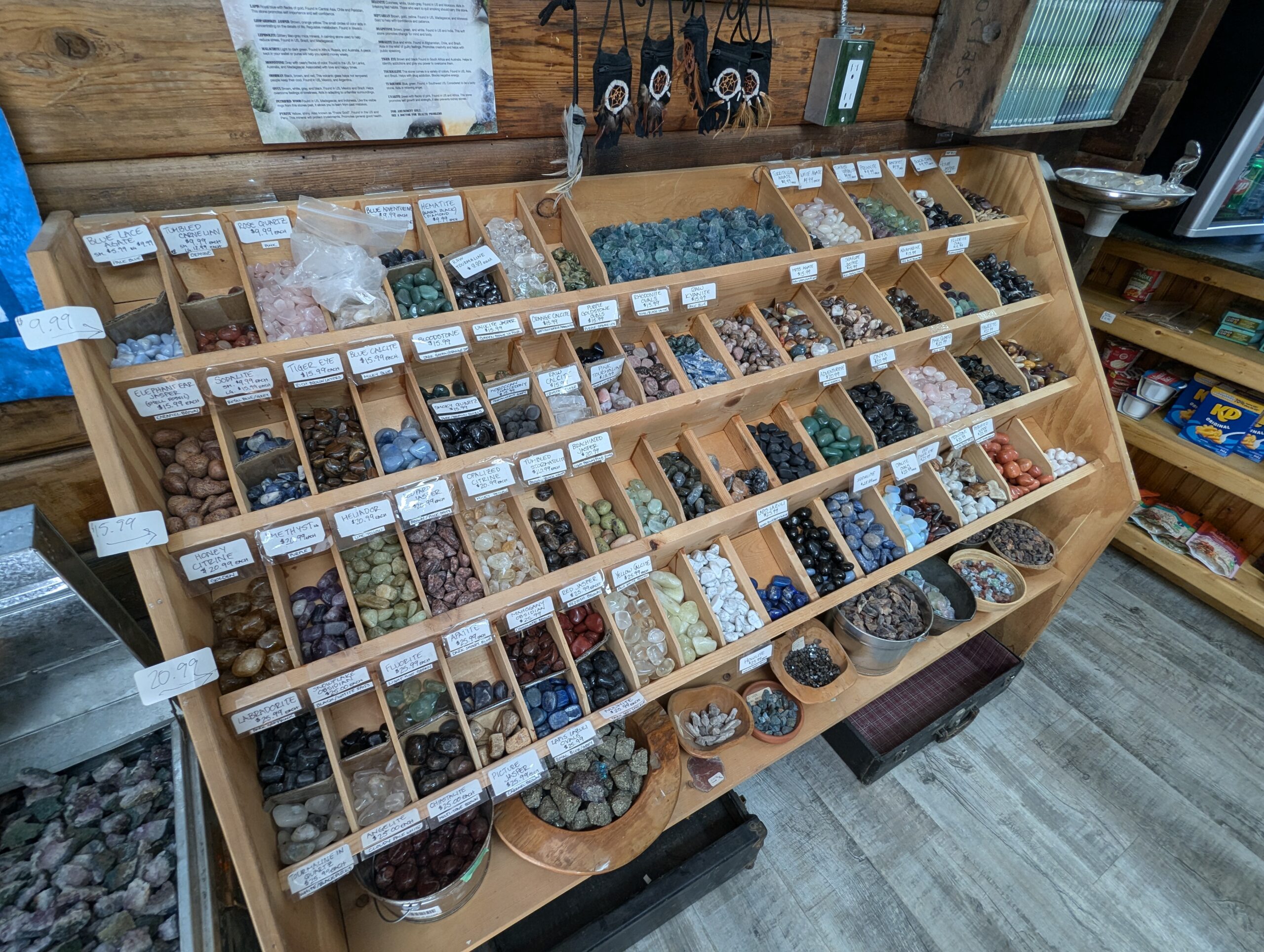
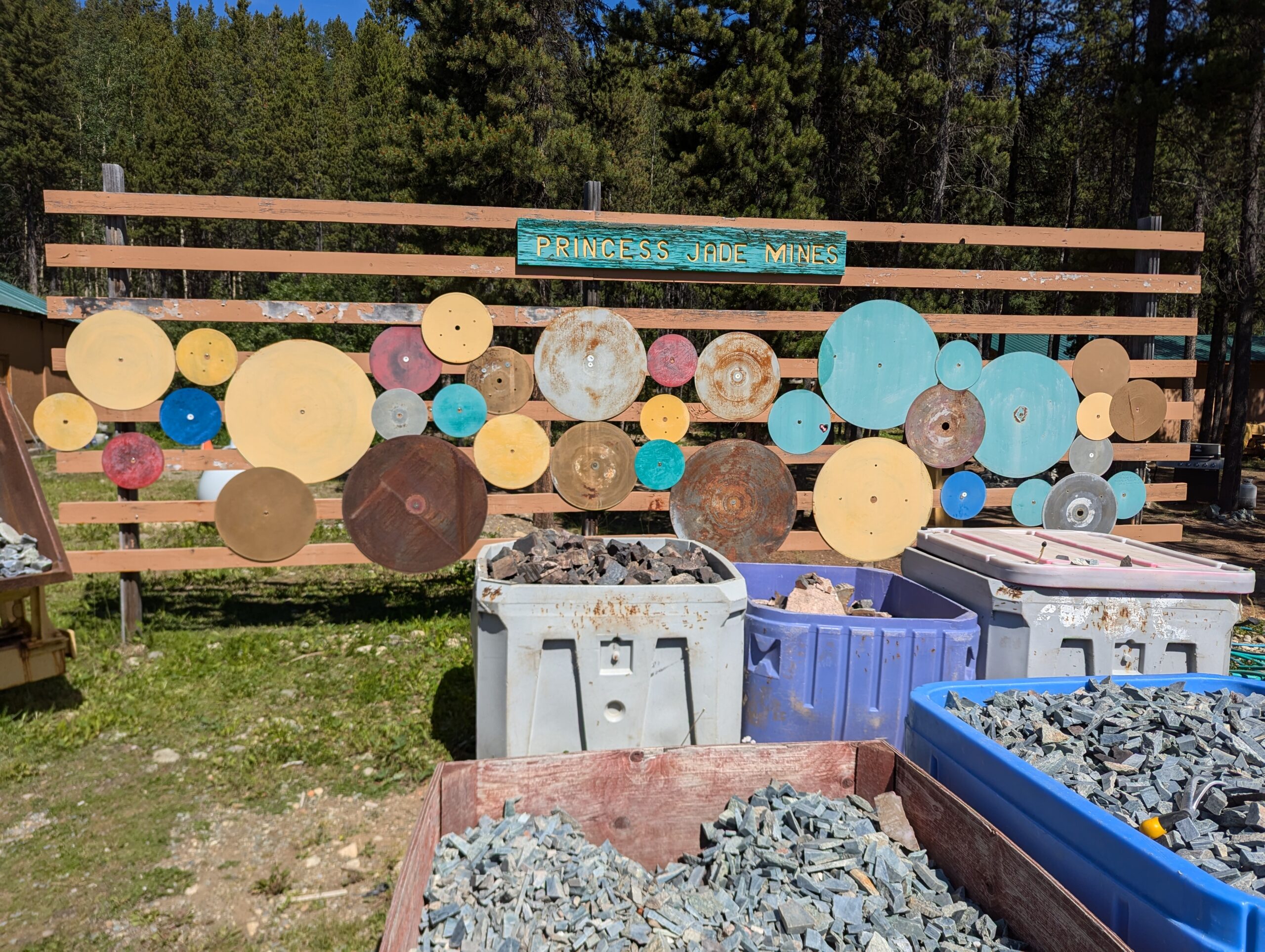
A few hours ahead I came across Jade City, a rock shop (and motel, RV campground, and hotel) that sold carvings and other artwork made from locally-mined jade along with other minerals. Their huge jade-cutting saws were out front with massive hunks of stone waiting to be processed, and I popped in for free coffee and to pick up some souvenirs.


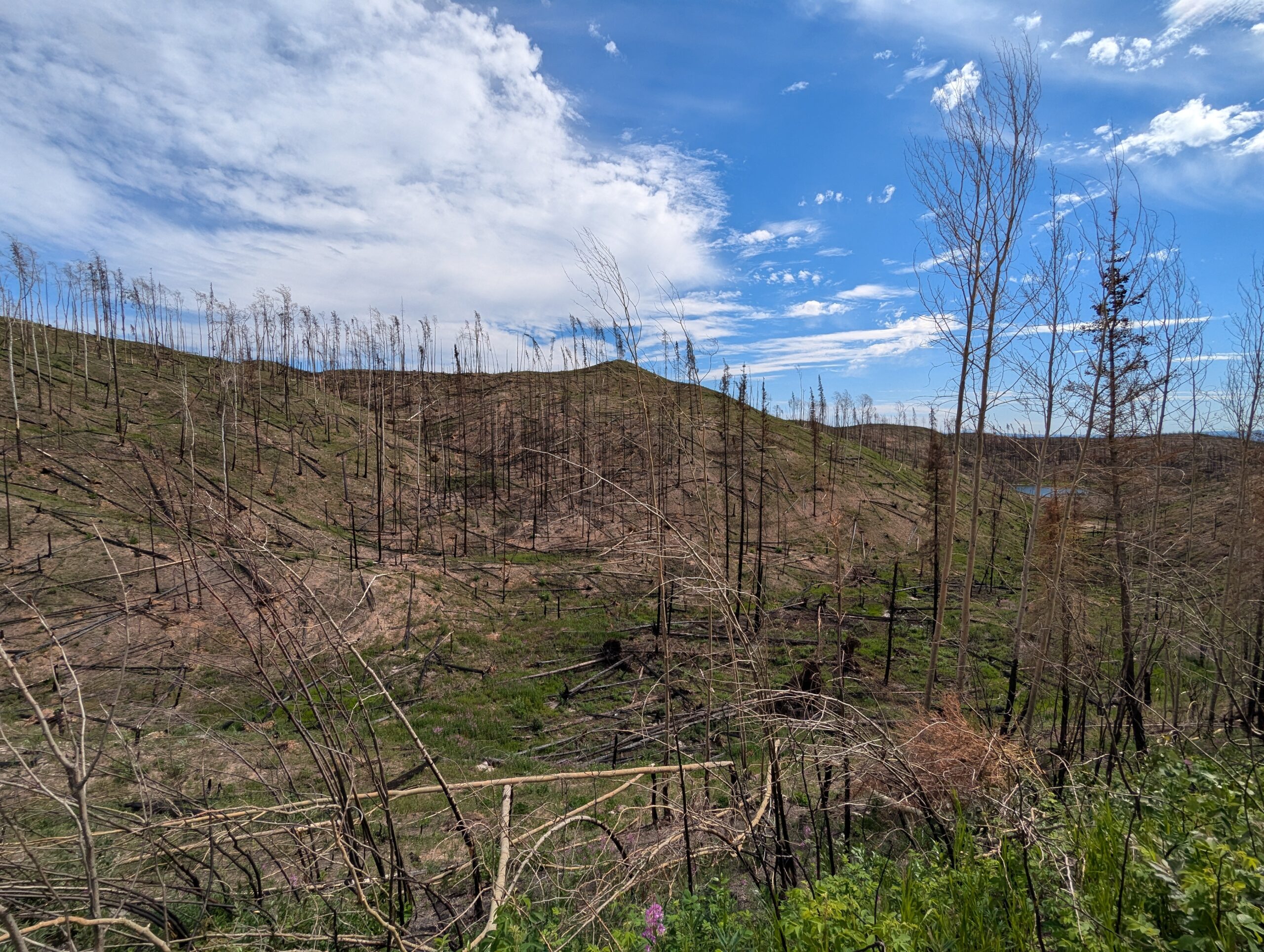
Back on the road, things settled into a good rhythm until riding through dozens of kilometers of wildfire damage. I’m not sure how long ago the fire was, but the scale of the destruction was immense. There were a few sections of burned trees in Idaho, but they didn’t compare to seeing nothing but charred stumps from horizon to horizon.
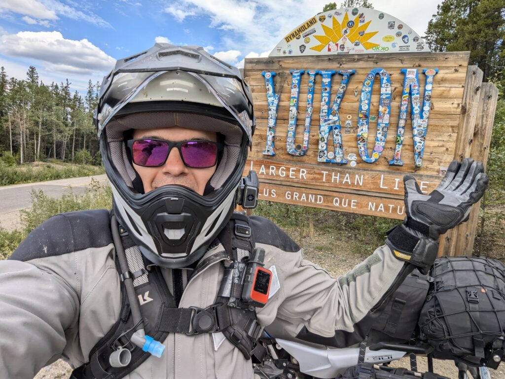
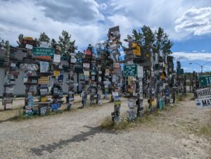
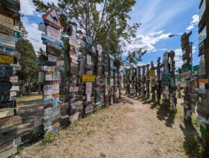
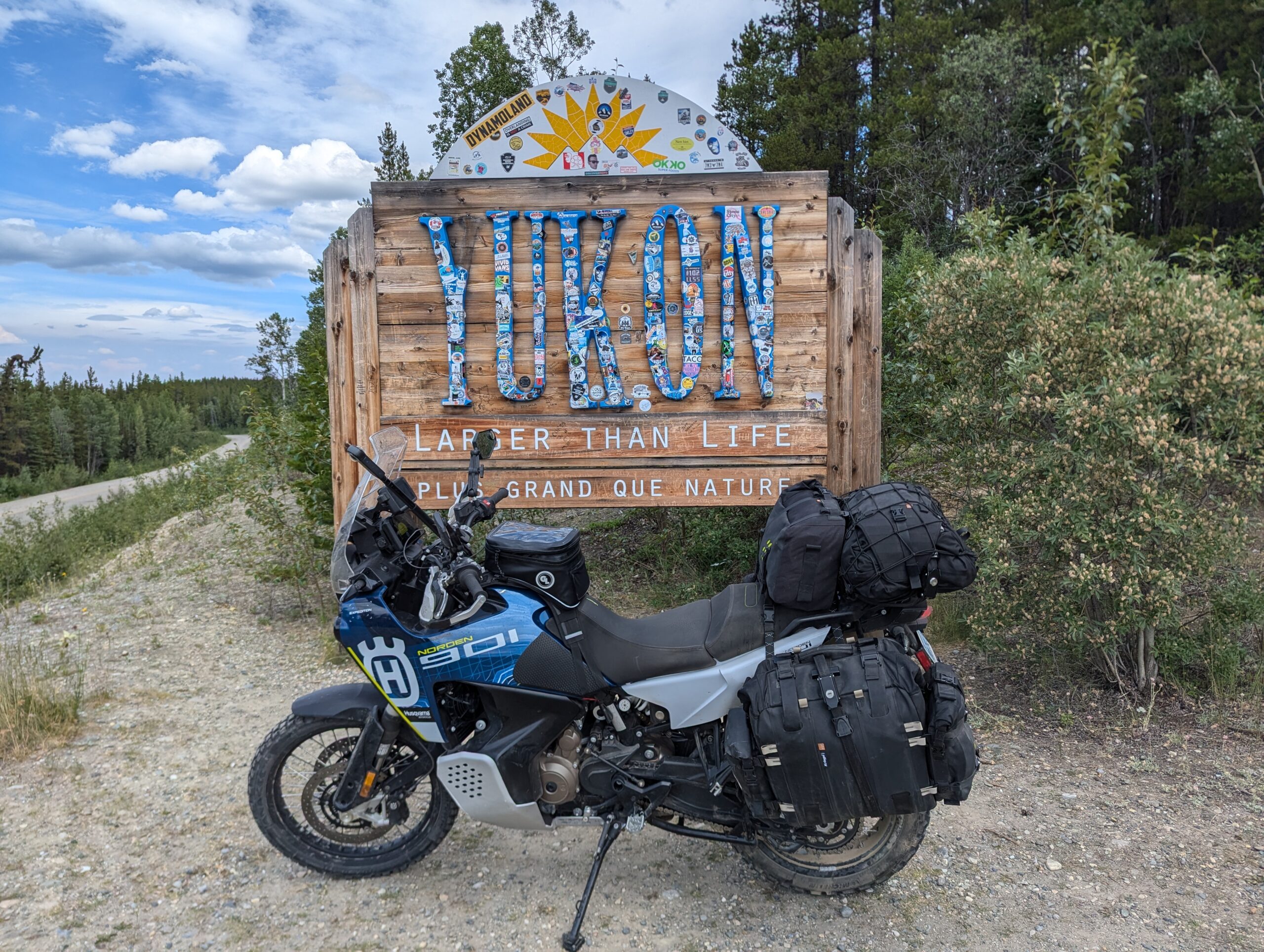
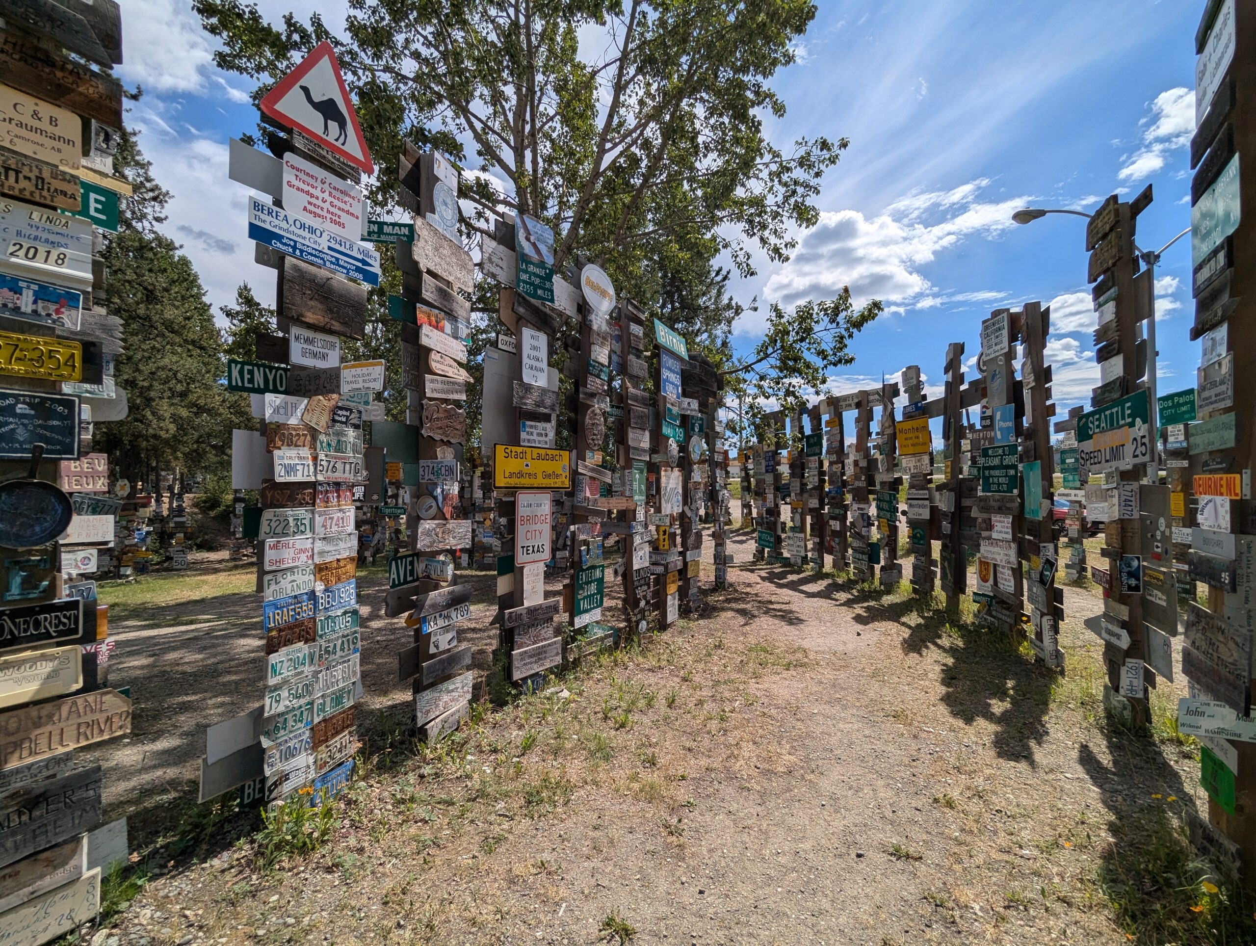
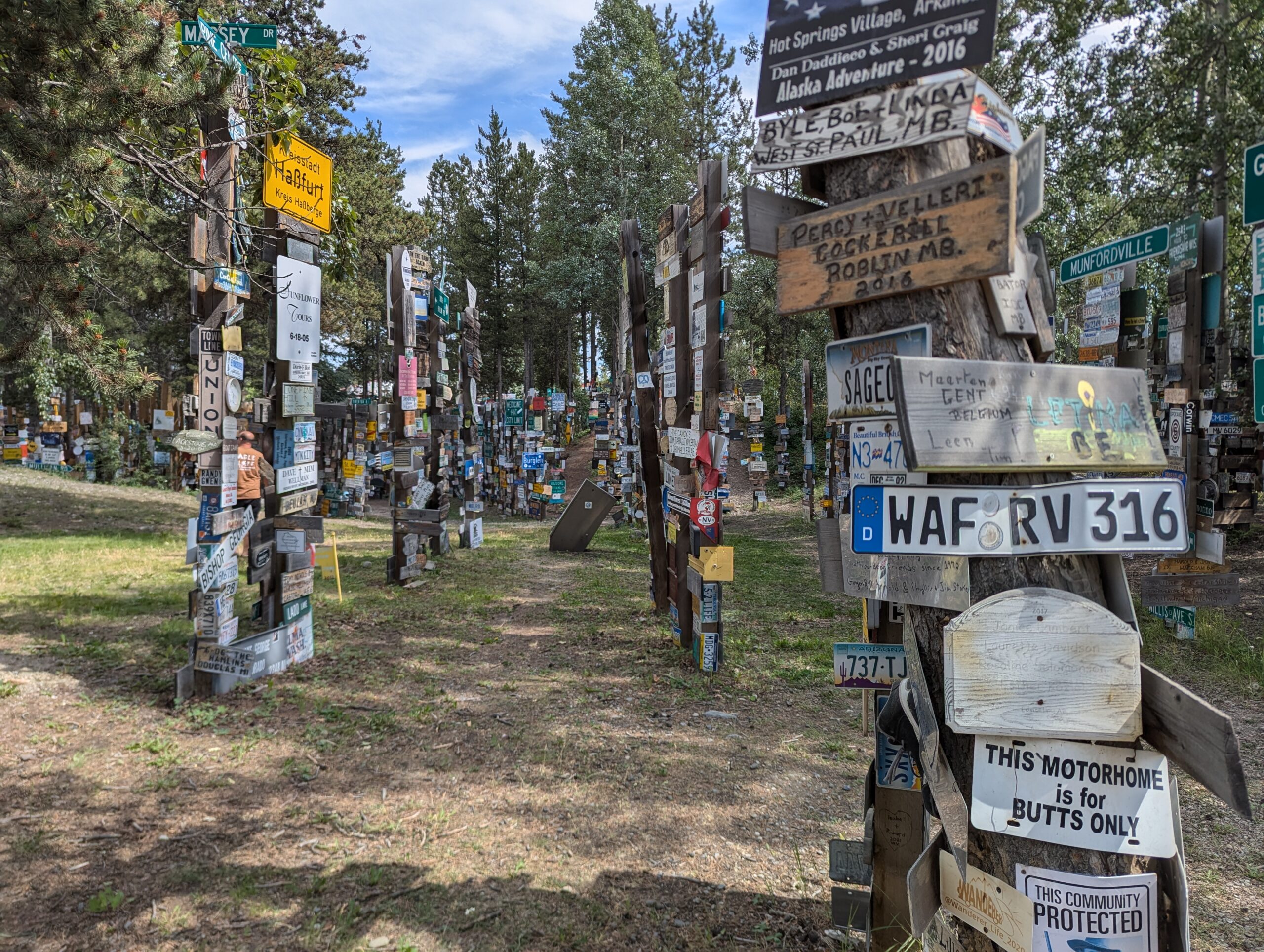
Just as the foliage started to come back I noticed the dotted line on the map for The Yukon. I stopped for some photos at the sign which represented a major milestone on the trip. It was only another hour or so before I came to Watson Lake and the Sign Post Forest, started by a homesick GI back in the 40s.


After getting dinner at a Chinese place (the best way I’d found to actually get some fresh vegetables), I made my way to my first Yukon campground. None of the campgrounds in The Yukon take reservations, there are just same-day reservations where you put some cash in an envelop and tear off a receipt that you use to claim your spot. Somewhat annoyingly, a lot of the prime spots were already claimed when I got there and left totally empty all night. The camp was nice but I struggled to sleep knowing that tomorrow was my first unpaved Yukon highway and some of the people I’d run into had told me it was pretty rough.
Watson Lake to Ross River
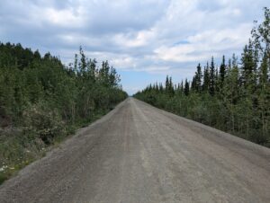
My restlessness had me out of bed by 6am and I was on the road back into town by 8. Knowing that it was 230 miles to Ross River with no services, I filled my extra fuel bladder for the first time. The first 100km of so of the road was paved (with the occasional gravel construction zones), but after that the pavement ended and I found myself on the dirt highway. The road was in great condition with hardly any loose gravel or corrugation, and I was able to maintain speeds around 80-90kph for much of the morning. So much for this infamously rough road.
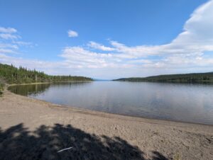
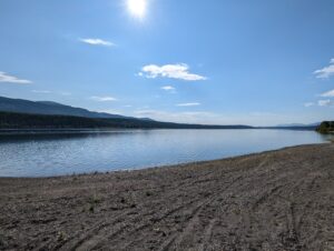
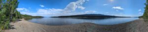
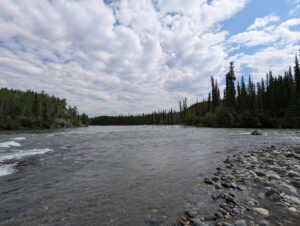
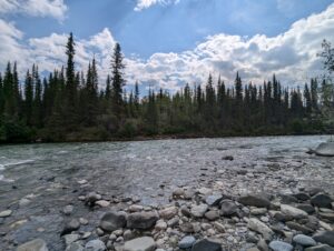
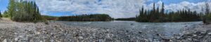
I managed to find a nice lake on the way to have a coffee and snack stop after about 180km, which was also about the right time to dump my spare gas into the main tank. I hung out for a bit to stretch my legs and take in the view.


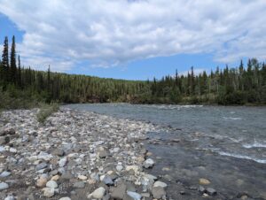
Back on the highway the day continued to be pretty uneventful. I was able to stop a few times at some pull-offs, my favorite being a bridge near the confluence of two rivers. There was a massive rock bed with all sorts of animal prints in the mud, but I didn’t see anything worth of packing back home with me. It was around this time that Tori messaged my inReach telling me that Monte might be sick and was heading to the vet, so I got back on the road and made for Ross River.


Knowing that my lodge for the night had a shared kitchen, I popped into the general store to try to find some supplies. There were a few wilted vegetables, but for the most part it was just frozen and dried goods. I picked up some frozen veggies and a meal to heat up later and headed for the lodge. My hosts were a First Nation Artist and his German wife, and they offered me a tour of their workshop/studio while filling out the paperwork. His carvings and sculptures were incredible and spanned a huge variety of media (copper, stone, bone, and wood).
My plan coming to Ross River was to head out on the North Canol on Tuesday (7/9) and then head to Whitehorse via the South Canol on Wednesday. Unfortunately, the forecast started to converge towards Wednesday being a pretty wet, miserable day. I decided to scrap that the North Canol and just head directly to Whitehorse on the southern route.
My lodgemate tonight is a trucker who supplies exploration camps on the North Canol and his intel made me feel better. I only have enough time to do an out-and-back on the North Canol and still maintain the rest of my schedule, and apparently the first 100km or so of the route is pretty overgrown — the real views and abandoned equipment aren’t until the end of the trail and it’d take at least 2 days to see it all and make it back. It’s definitely a better use of time to take this updated schedule, and hopefully I can use the extra day to add the Kennecott Mines back into the itinerary.