
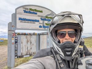
Dawson City to Inuvik
While I fell asleep reasonably easily on Thursday, I was up off and on starting at 4:30. I’d heard so many conflicting reports of conditions on The Dempster and I was eager to get up and get going. The LTE network was apparently feeling better this morning, though, so I was able to check the weather and have a quick video call with Tori before gassing up and heading out. While my weather window looked pretty good for at least three days, the forecast was calling for rain along the Dempster on Monday — just in time for my return trip. I decided that I would try to make the most of the good weather and try to get in as many miles as I could on Friday.
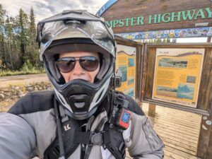
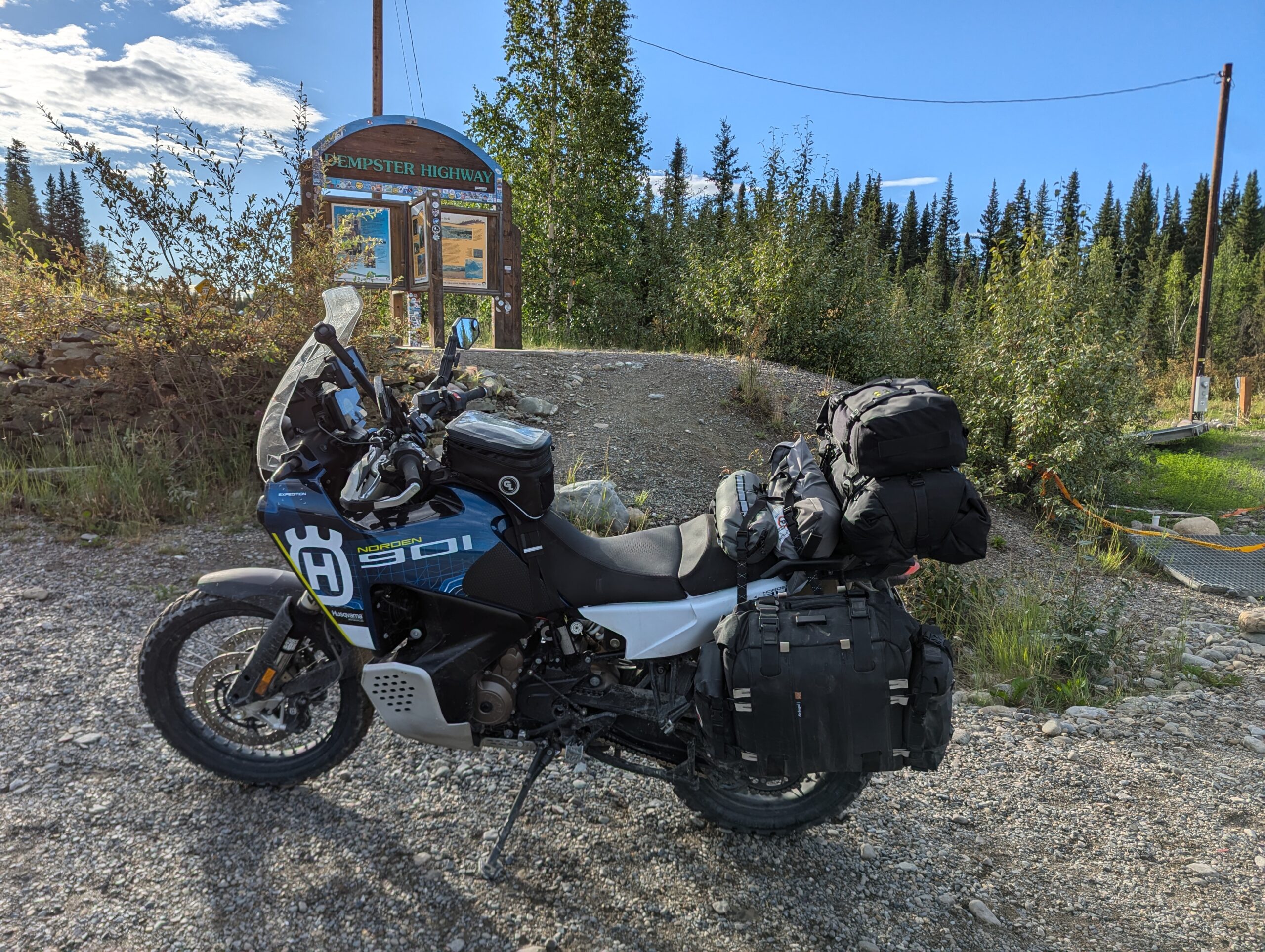
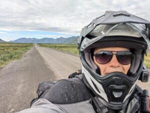
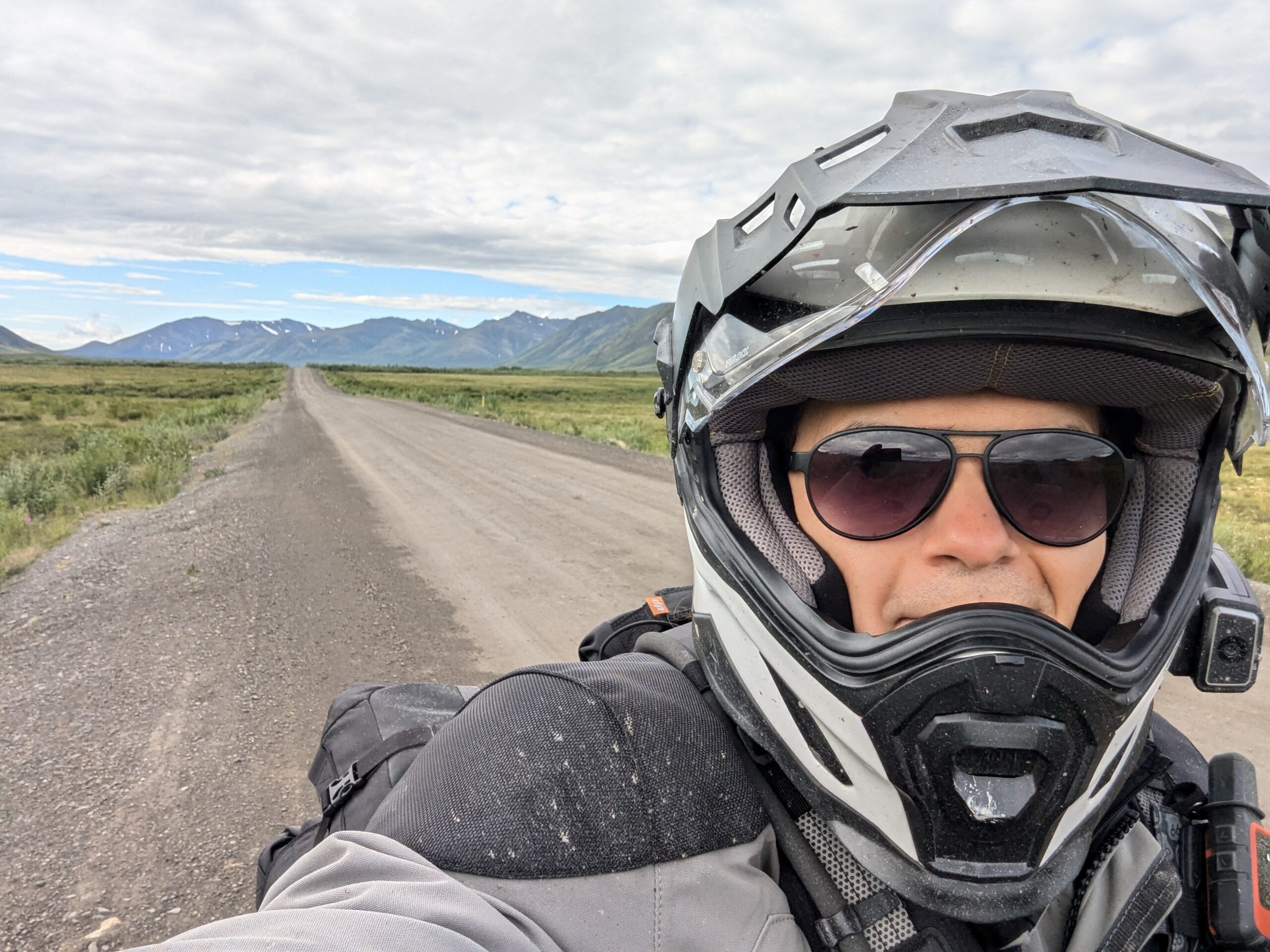
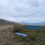
It was a short 40km or so from Dawson City to the start of The Dempster Highway, and there’s a gas station right at the Dempster’s intersection with the Klondike Highway. It’s about 370km (230 miles) from the start of the road to the first gas stop in Eagle Plains, so to be on the safe side I filled up my two gallon gas bladder and strapped it to the bike. Potable water is also hard to come by, so in addition to the 4L in my hydration pack I strapped another gallon to the seat along with the gas. After a quick photo op with the sign I was off.
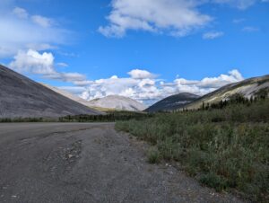
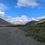
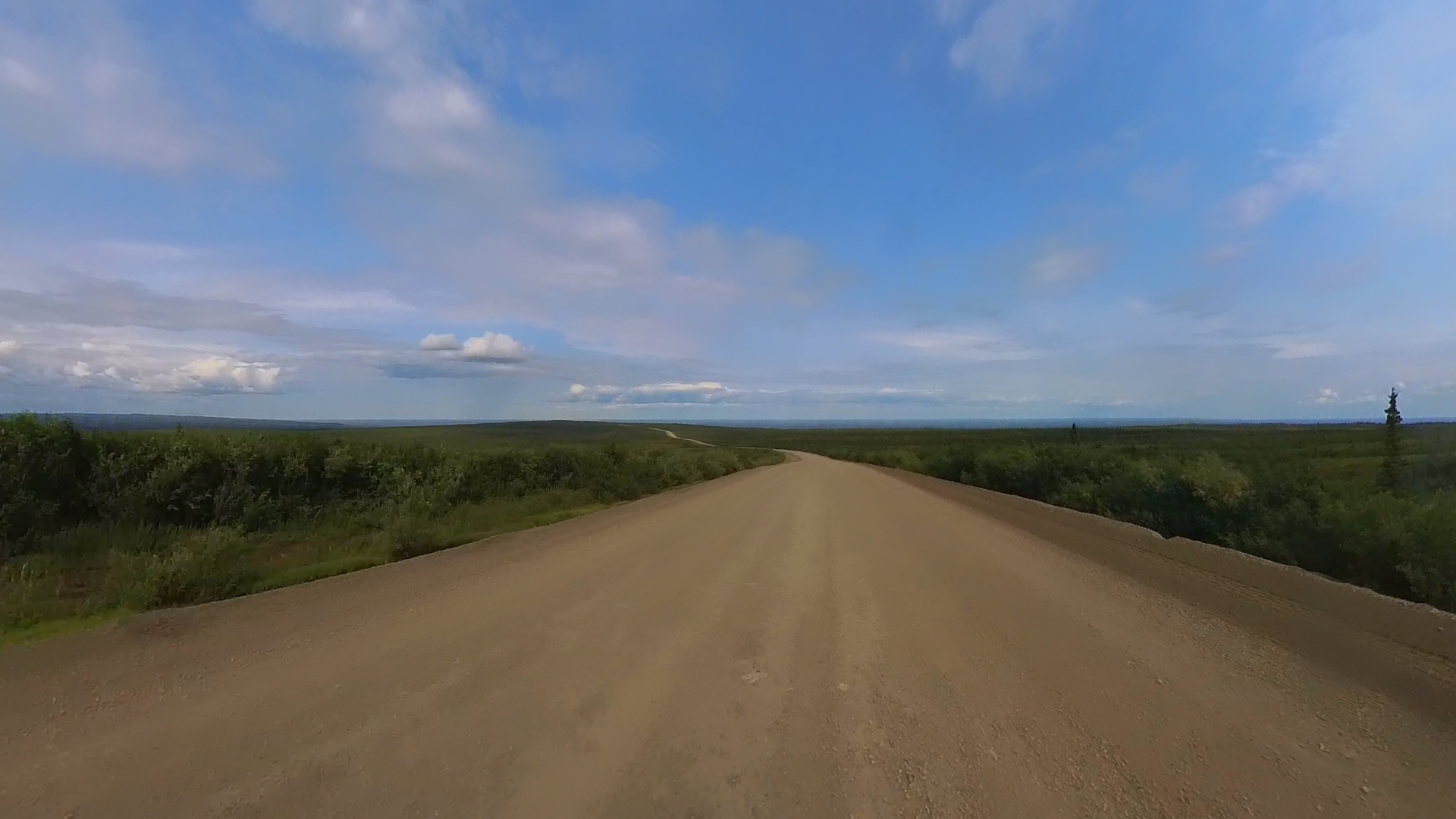
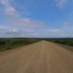
The area around the start of the highway had been drenched with rain for a few days, so the first 100km or so of the road was pretty damp with a few slick spots. The weather had been clear overnight and one benefit of the midnight sun is that it helped to dry out the road surface. I was able to carry a pretty decent speed as I enjoyed the views of the foot hills of the Tombstone Mountains.

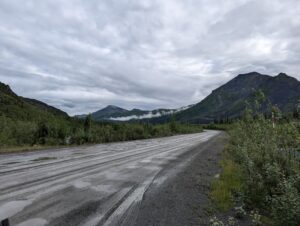
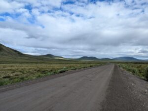


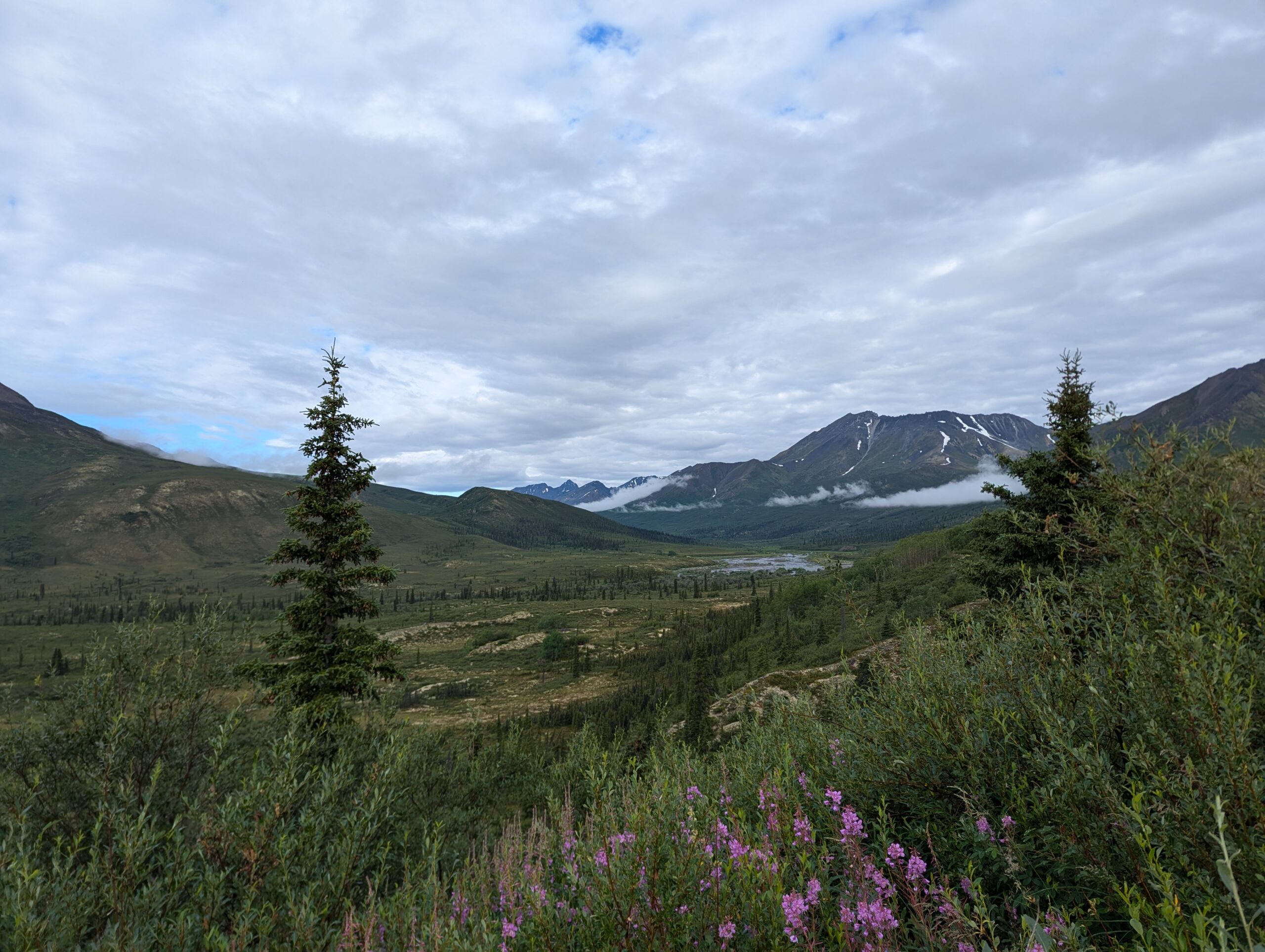


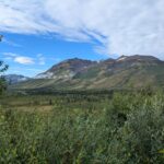

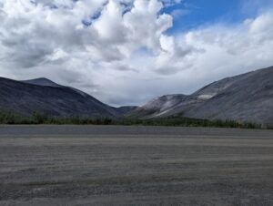
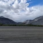
Eventually the brush and forests started to clear and the Tombstone Mountains rose pretty sharply in front of me. While not as rugged as the Rockies or Cassiars where I’d been spending time lately, there was something strange and beautiful about the way they just seemed to erupt from the plains. On the far side of the range, the faces of the mountains and hills were eroding into skree and almost looked like huge piles of gravel.
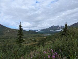
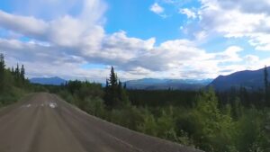
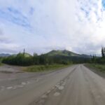
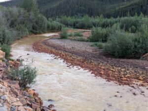
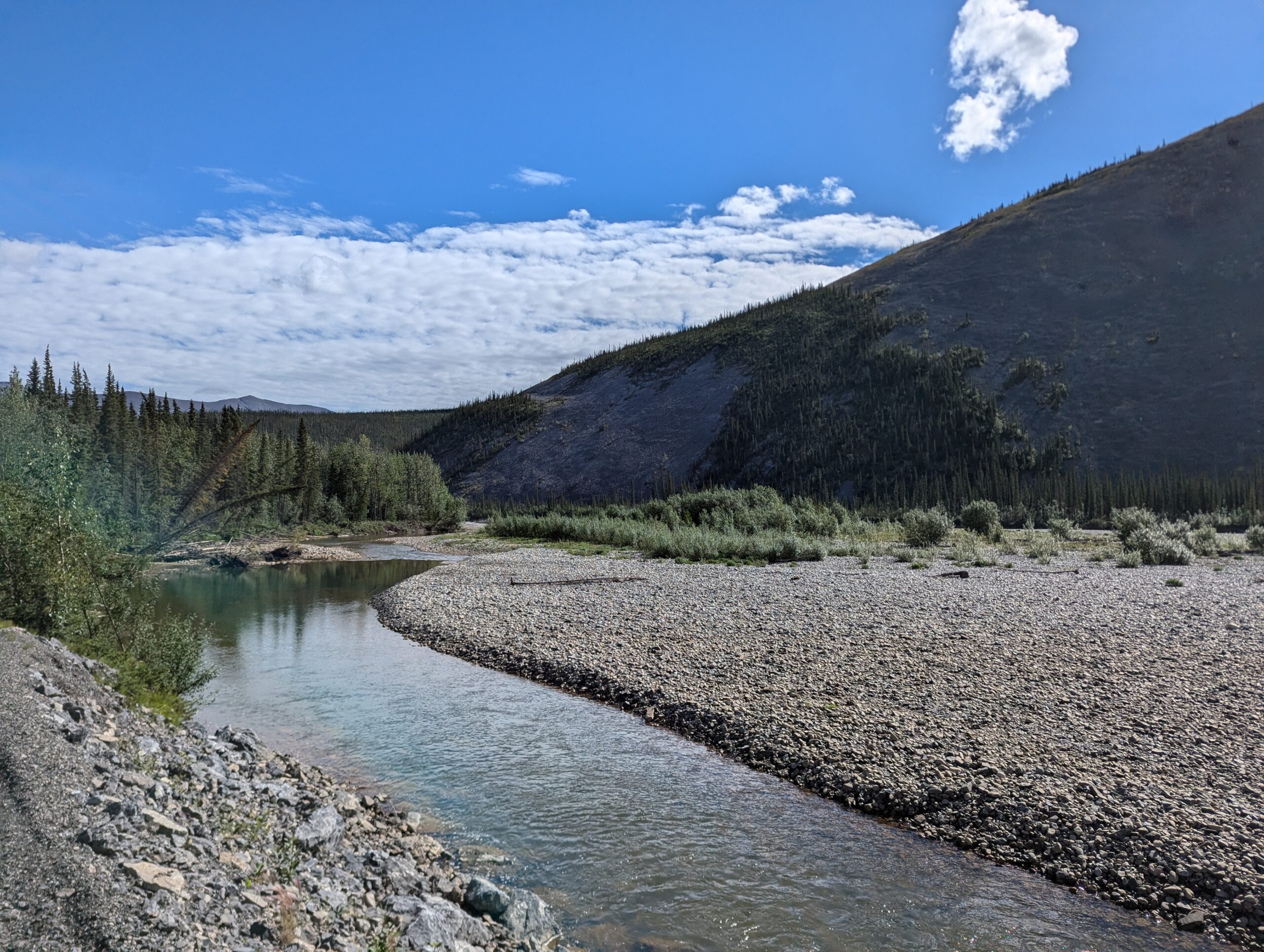
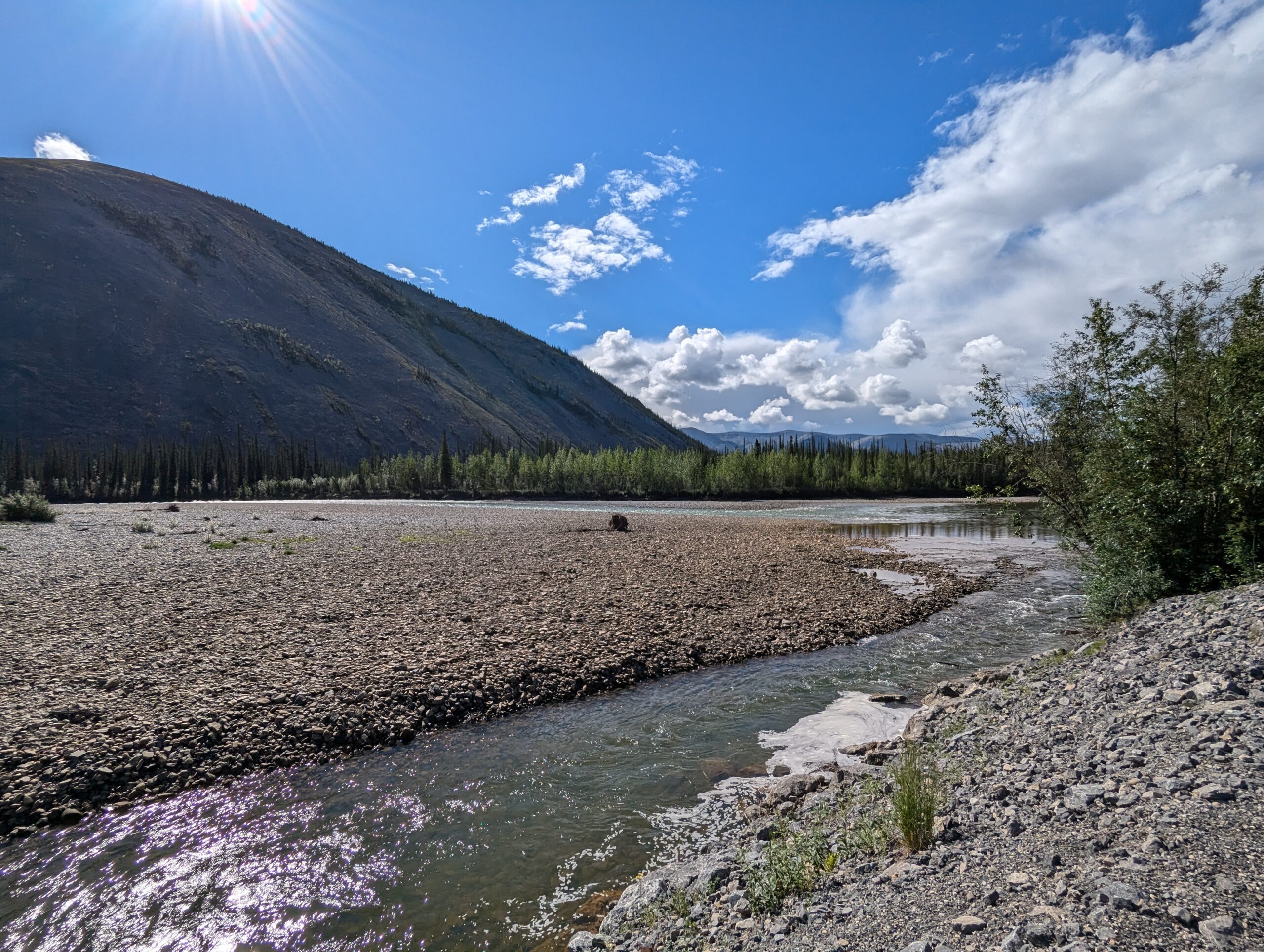
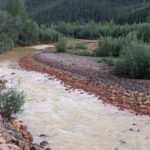
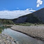
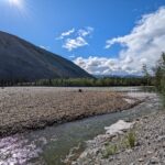
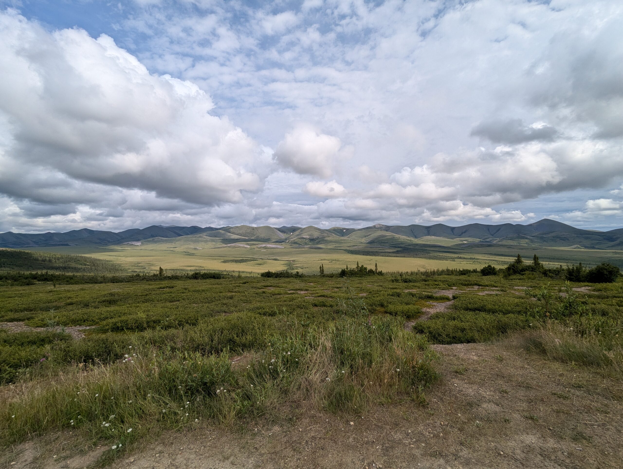
As the mountains and hills started to flatten out into a huge valley, the road began to follow creeks and streams as it would its way North. A lot of the mountains here are iron-rich, so several of the streams were a deep orange and had left stains on their banks in a darkening hombre. Definitely not nice to drink, but cool to look at nevertheless.
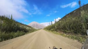


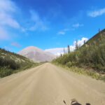
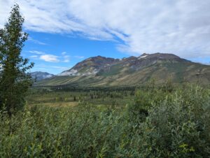
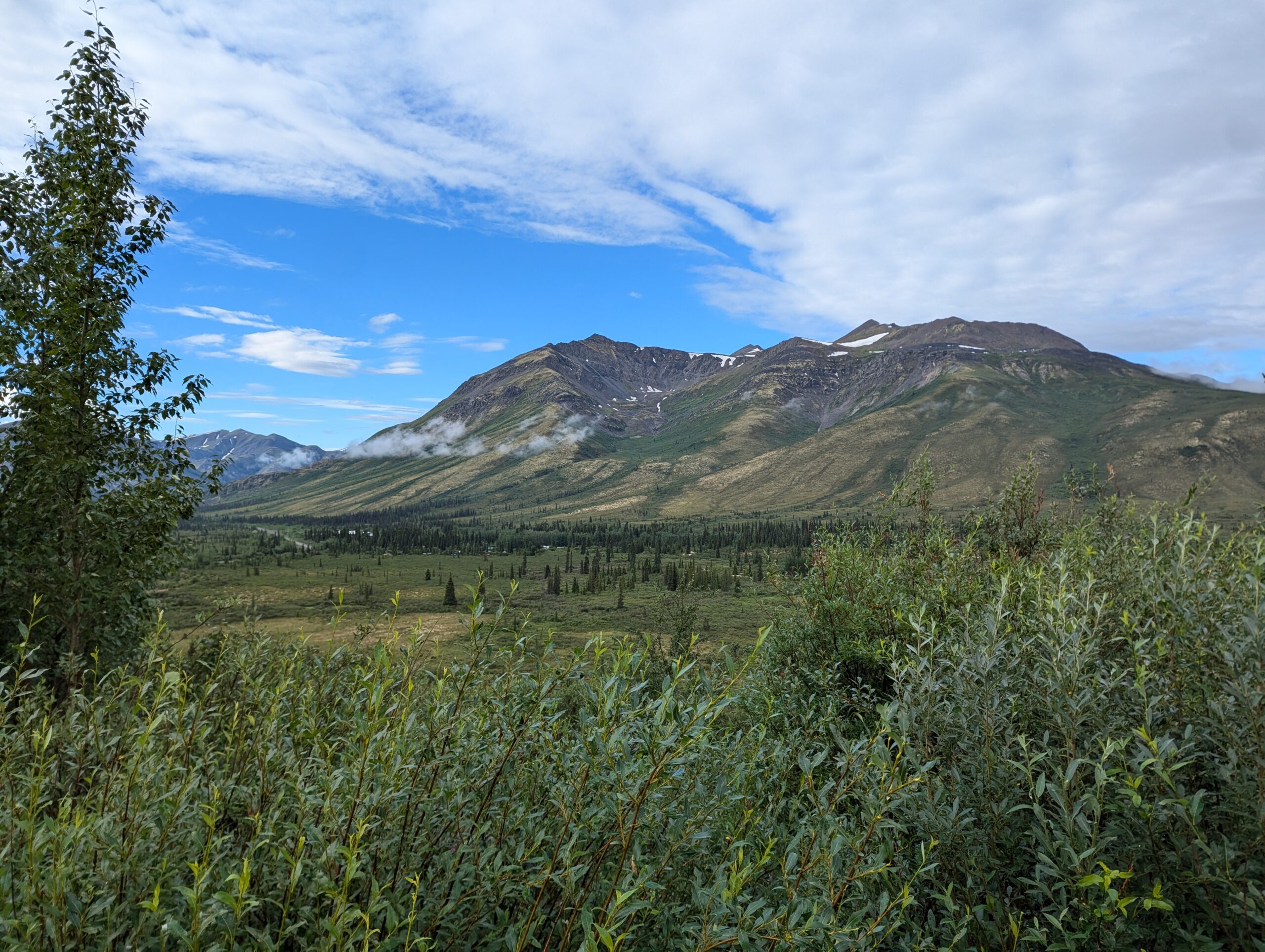
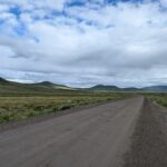
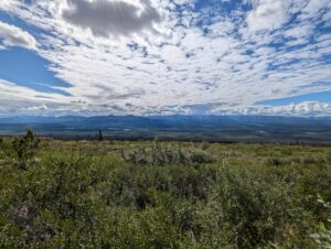
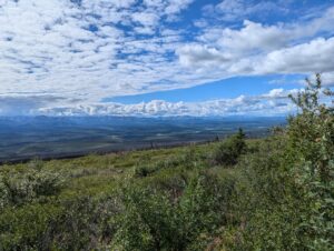
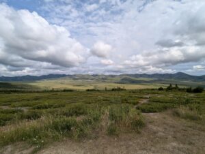
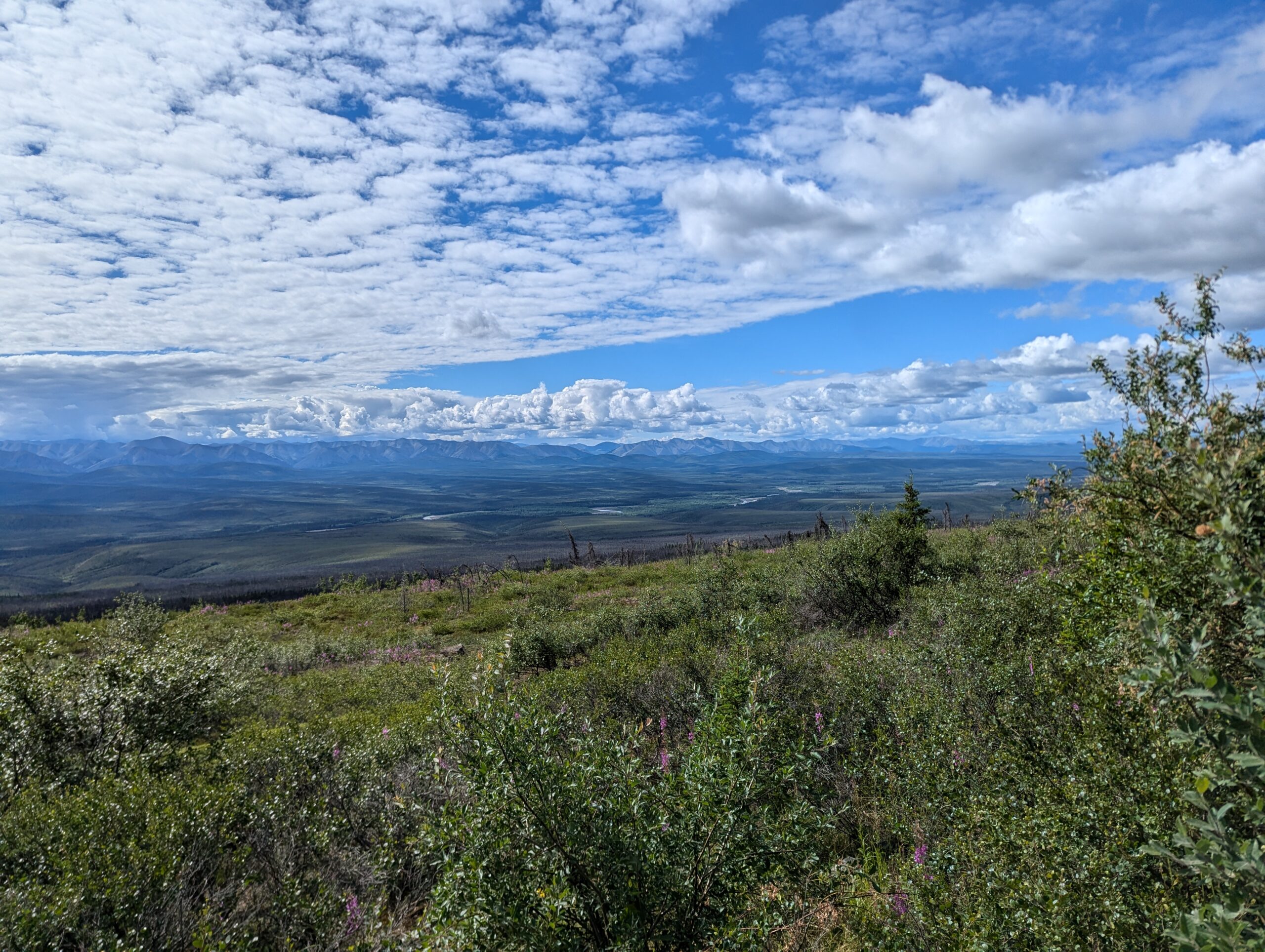
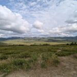
Next came the beginnings of the tundra and permafrost as Eagle Plains got closer. While the elevation of the road produced some breathtaking views, the variety of the morning started to become more monotonous I got closer to the Arctic. The road also started to get a bit rougher here and a had few loose spots. While I was able to keep it in the 90-100kph range on the straights I had to start slowing down a lot more in the curves.
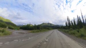
Eagle Plains is a one-stop service center, with gas, a restaurant, and even a hotel. I tried to book a room for my return leg but they were already sold out, which only spurred me to ride further today than I would have. I couldn’t resist getting a Monte Cristo sandwich for lunch when I saw it on the menu, and the free wifi let me upload some pictures and check the weather. I also ran into the pair of KLR riders I’d met on the ride to Dawson City the previous day, along with some of the South American riders I’d met back at camp in Whitehorse. We ended up leapfrogging each other all day.
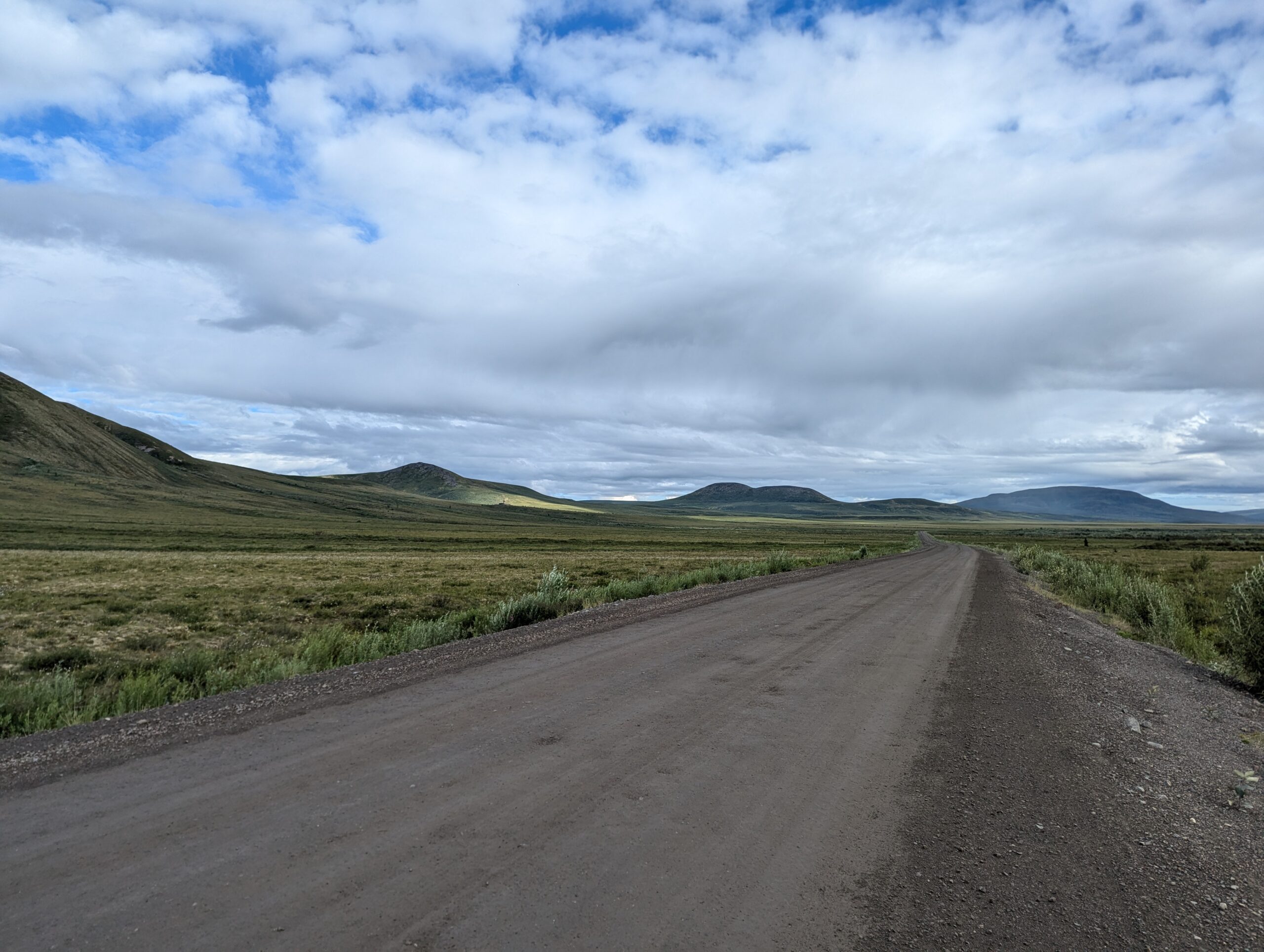
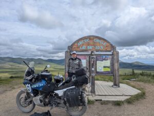
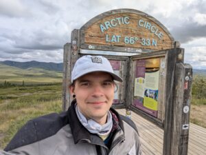
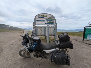
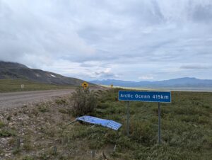
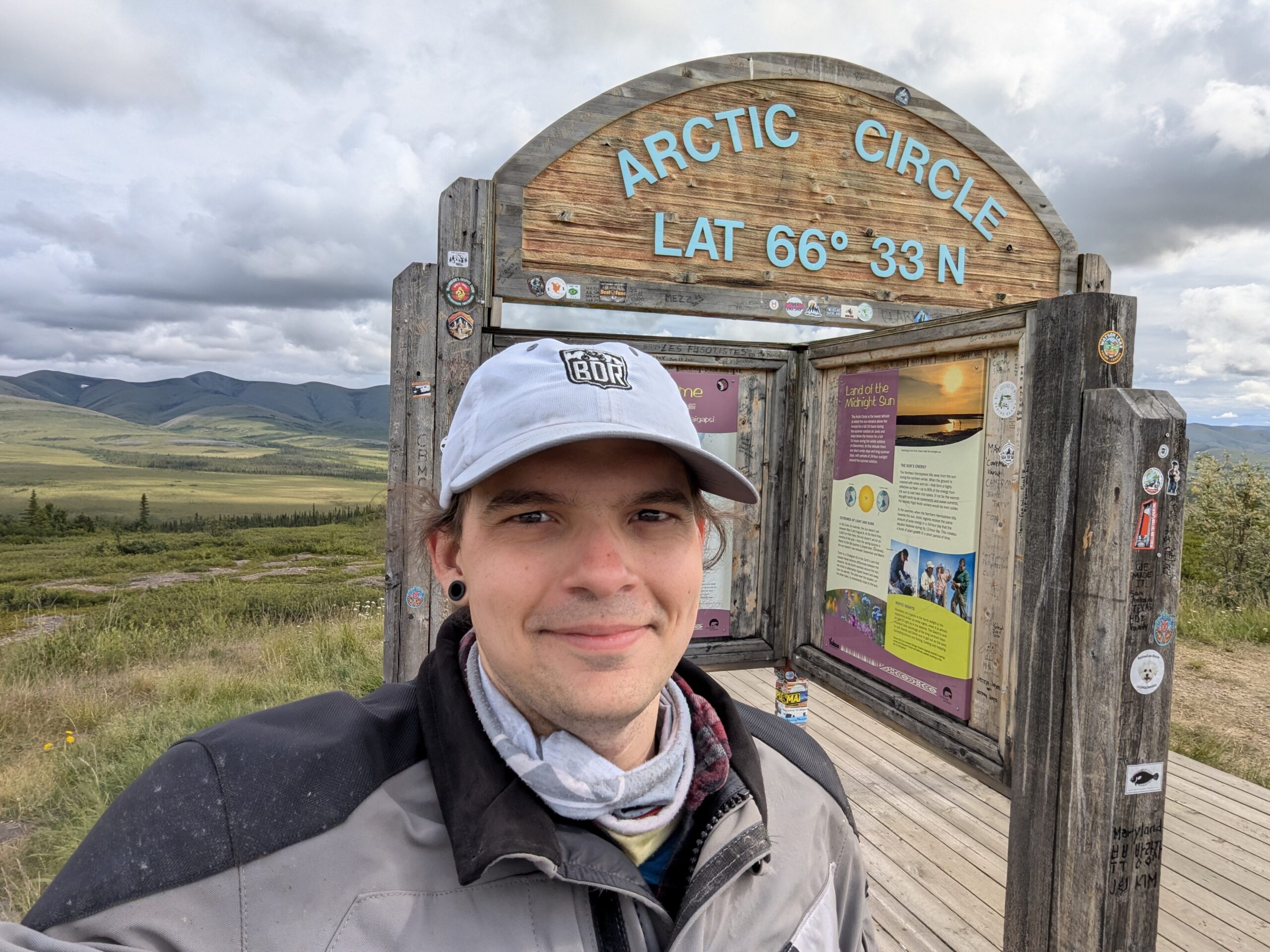
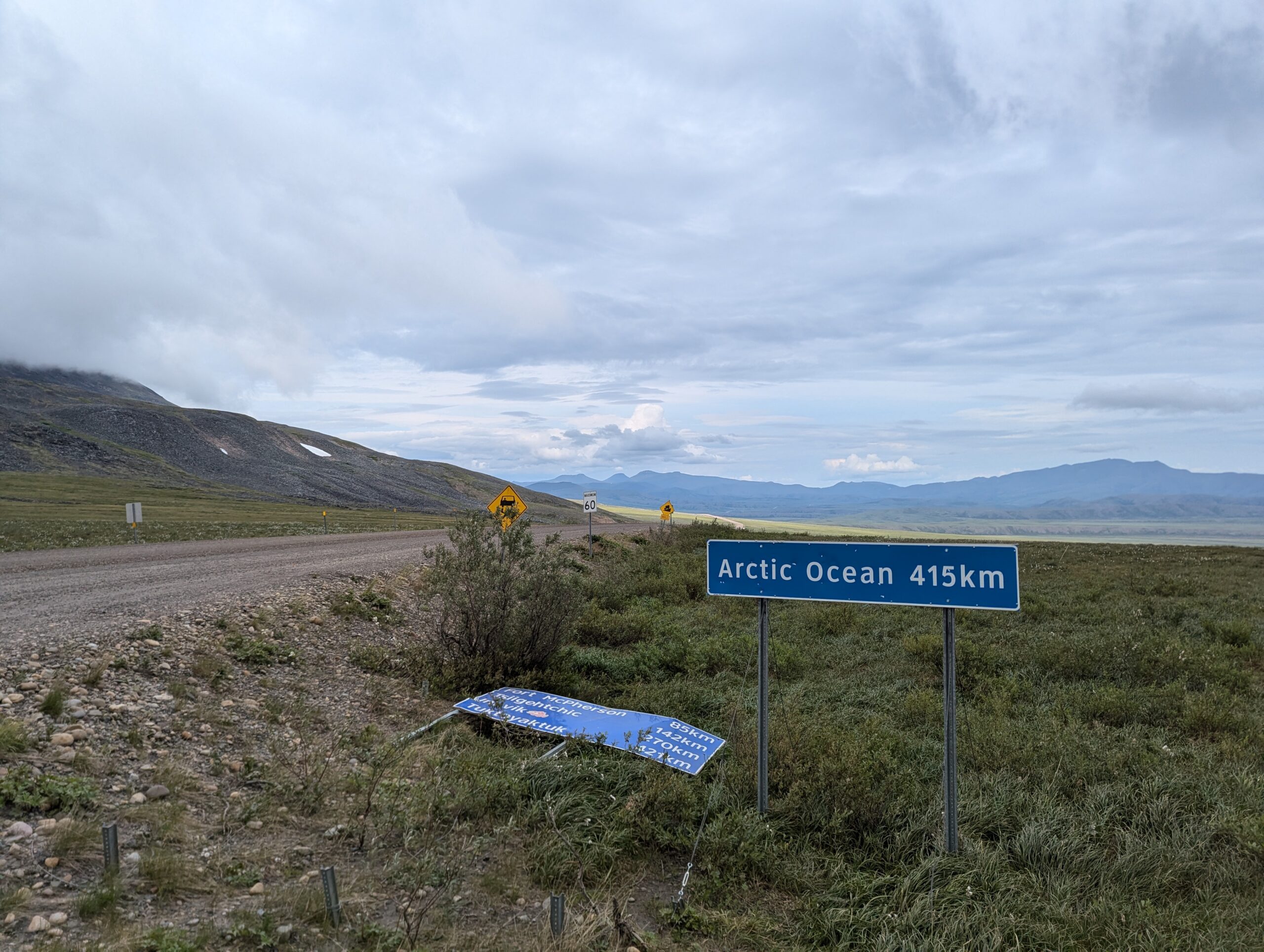
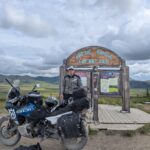
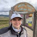
The Arctic Circle was only about 40km away from Eagle Plains, and the border with the Northwest Territories just after that. In the NWT the views did open up a bit and the vegetation tended to shrink as I got further north. Despite hearing that the roads got better in the NWT, they had just been resurfaced with loose gravel and were in the process of being graded. My wheels starting wander more and more on the loose surface, and my nerves were raised and my speeds lowered.


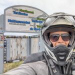
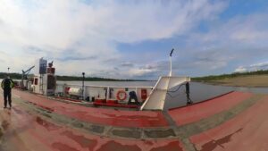
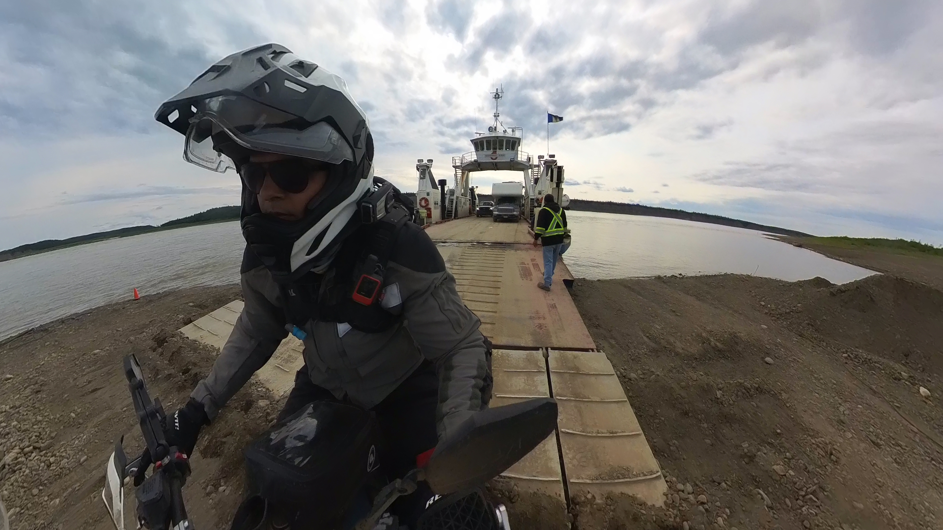
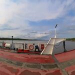
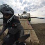
The next major milestone after the NWT border were the two ferries. I was the first (and only) in line when I got to the Peel River Ferry and we set off across the river in just a few minutes. I was pretty confused, however, when the ferry started moving backwards. My South American riding friends had caught up, and the ferry captain was nice enough to throw it in reverse to save them waiting for the next back-and-forth.
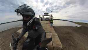
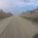
The next gas stop and my planned overnight stop were just after the first ferry. Because I wanted to take advantage of the good road conditions, I decided to press on and make the second ferry across the Mackenzie. There were a few more campgrounds on the other side as you approach Inuvik and I figured I’d stop at one of them. While waiting for the ferry, a local warned me of the dangerous dust conditions on the other side and gave me advice on how to pass everyone on my way out.
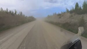
Unfortunately I was loaded behind a camper van and a mining truck with a trailer. After the ferry made the triangular journey across the Mackenzie (it serves three beaches, interestingly), I was only able to pass the camper van while the mining truck floored it off the ferry. It didn’t take me long to realize the local wasn’t exaggerating about the dust — in a cross-wind it cleared OK after a few hundred feet, but in still air there was no visibility behind vehicles for hundreds of yards. Opposing traffic would emerge of the the dust cloud with little warning, but riding in the center of the road was often the only way to have any visibility at all. It was an exhausting and dangerous journey for over 100km after getting off the ferry.


When I got to my planned campsite around 7:30 I discovered that it had been damaged by the spring floods and was “camp at your own risk,” with most sites in disarray. Between the mess and being swarmed by northern mosquitos seconds after taking my helmet off, I decided that I was too exhausted after a 12 hour day of riding to even think about setting up my tent (and a hot shower sounded like heaven). I took a chance to rode the final 30 km into Inuvik to find a motel, hoping that at 8pm on a Friday I’d be able to find something.
I got the very last room in the first hotel I found (which was confirmed when the manager sadly turned away my South American riding friends). It ended up being a long-term stay suite with a kitchenette and living room and, despite being a little worse for wear, it was a huge relief. I lost an hour entering the NWT from the timezone change and after transferring video files and pictures, getting my devices charging, cleaning and lubing my chain (probably a fools errand at this point), and making dinner it’s almost midnight.
I booked this room for two nights so I can leave all my luggage here tomorrow for the final ride to Tuktoyaktuk then have a nice relaxing afternoon and evening before riding back to Dawson City on Sunday and Monday. It was a hell of a long day, but honestly The Dempster wasn’t as bad as some of the riders I came across made it out to be. Obviously everything has their own skill and comfort levels, but I was able to maintain a pretty consistent average moving speed of 90kph pretty much all day. The final extension to Tuk is supposed to be the hardest bit, though, with a fair amount of built up gravel in the corners.