Stewart to Dease Lake
I took off from Stewart early, knowing that there was about 6 hours of riding ahead of me and wanting to leave enough time for food and fuel without feeling rushed. I was definitely starting to get into The North, with hundreds of kilometers between fuel stops in tiny little towns along the highway. Route 37, the Stewart-Cassiar highway is less popular than the Alaska Highway, but it takes a twisting, scenic route along the Coastal Mountains until they rejoin the Rockies at the Cassiar Mountians.
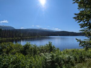
The ride was nice, with a decent amount of twisties and views of lakes, rivers, and mountains basically the whole way. I ran into a couple groups of ADV riders heading in each direction, notably one guy on a DRZ who made me a little sad I wasn’t on mine. All things considered, though, the Norden was definitely a more comfortable bike for the trip so far. I also got some horror stories about $3000 tows and brand new tires blowing out just 100 miles after installs (enough to make me call Progressive and verify that my roadside assistance coverage applied out here), but those are the horror stories that riders like to tell themselves to feel tough for riding out here . Or at least I told myself that to feel more comfortable.
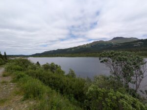
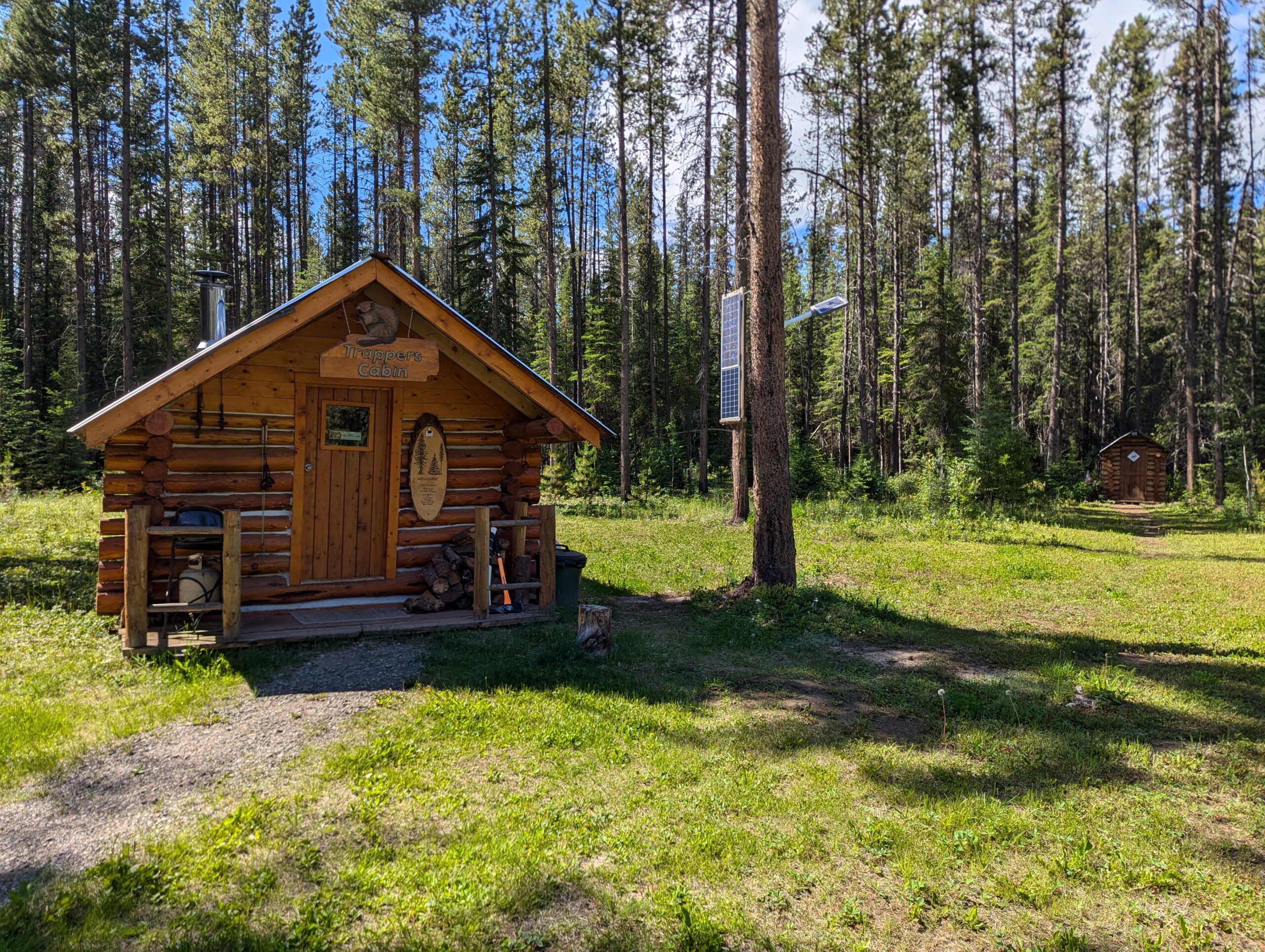
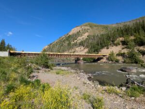
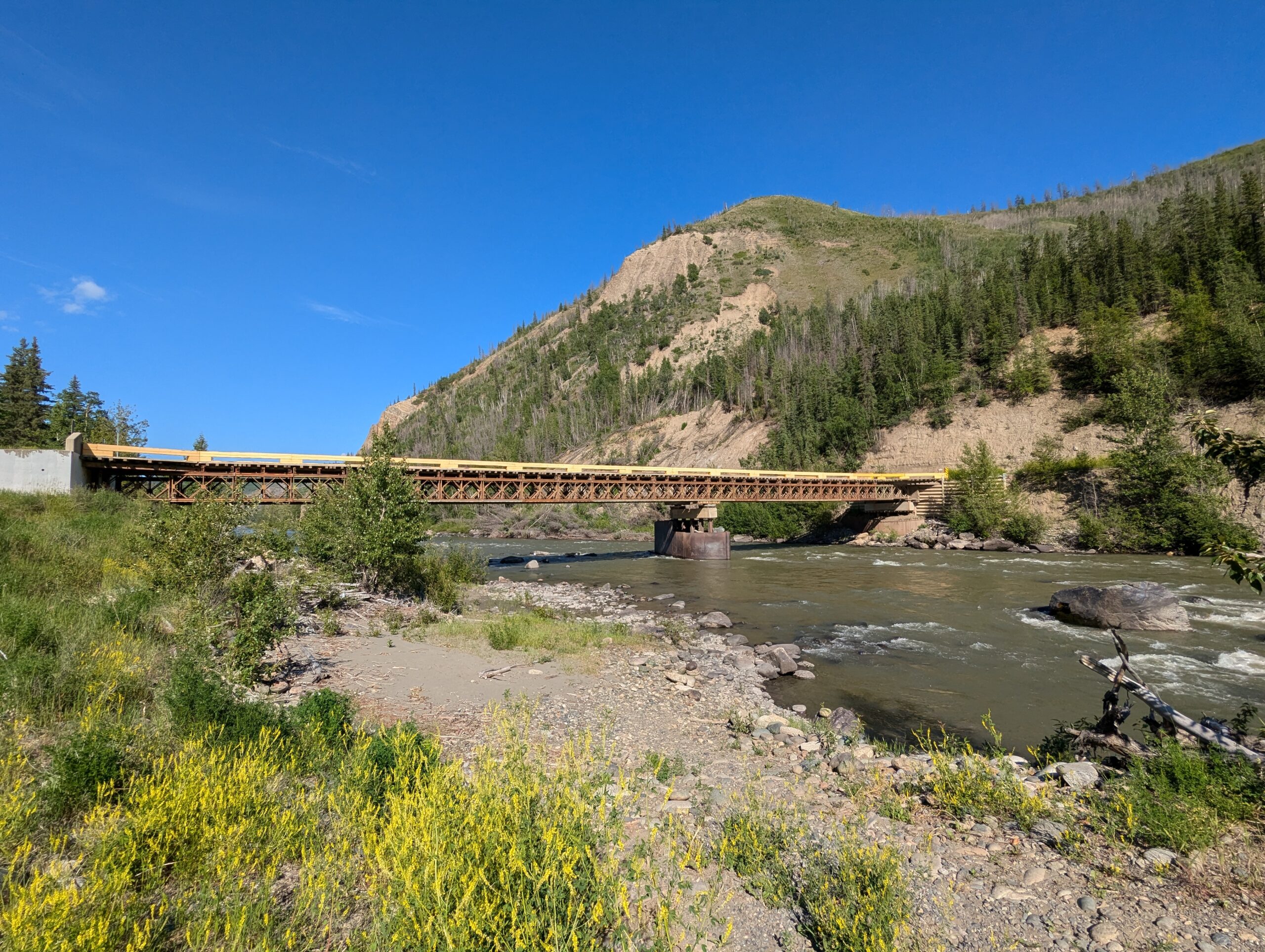
I got to my primitive cabin in Dease Lake around 3pm feeling pretty fresh. Despite most of the riding being in the 60s and clouds today it was now sunny and 72F. I planned on riding the Telegraph Creek road in the morning before heading to The Yukon, but decided to ride it in the evening before a late dinner since it was so nice.


Telegraph Creek
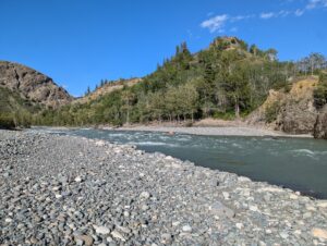
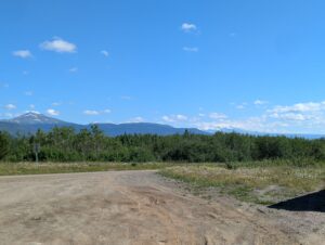
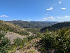
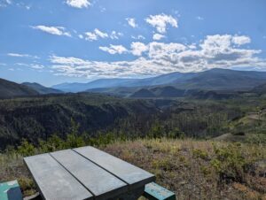
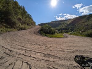
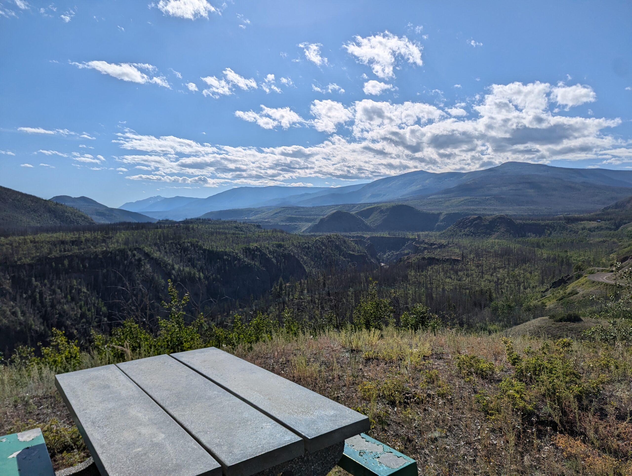
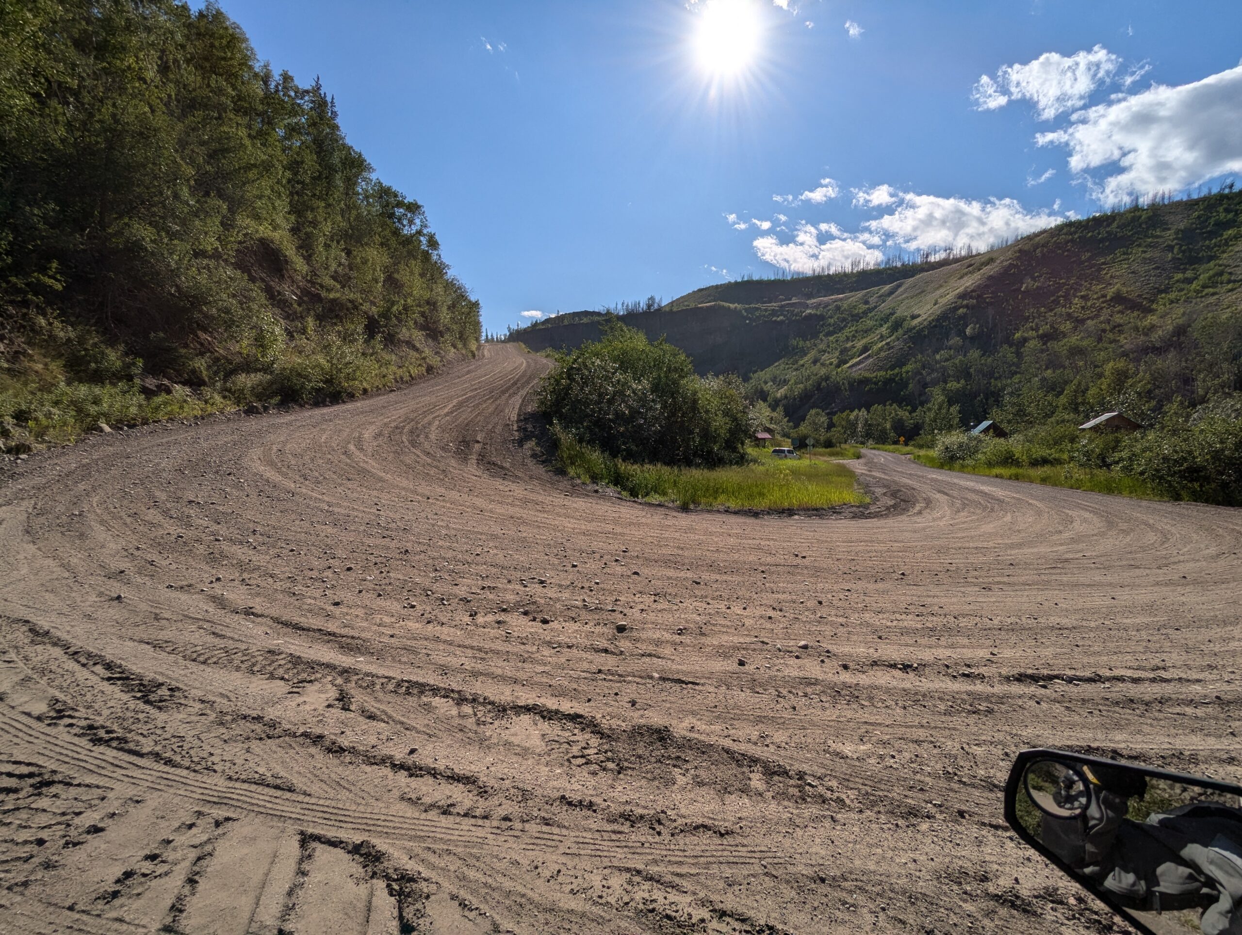
Telegraph Creek is the most remote settlement in BC accessible by road, and it’s one hell of a road. Starting from Dease Lake, it’s about 70km of fast, well graded dirt roads where you can hit 80-90kph without too much worry. It’s occasionally scenic at this point, but nothing too spectacular.
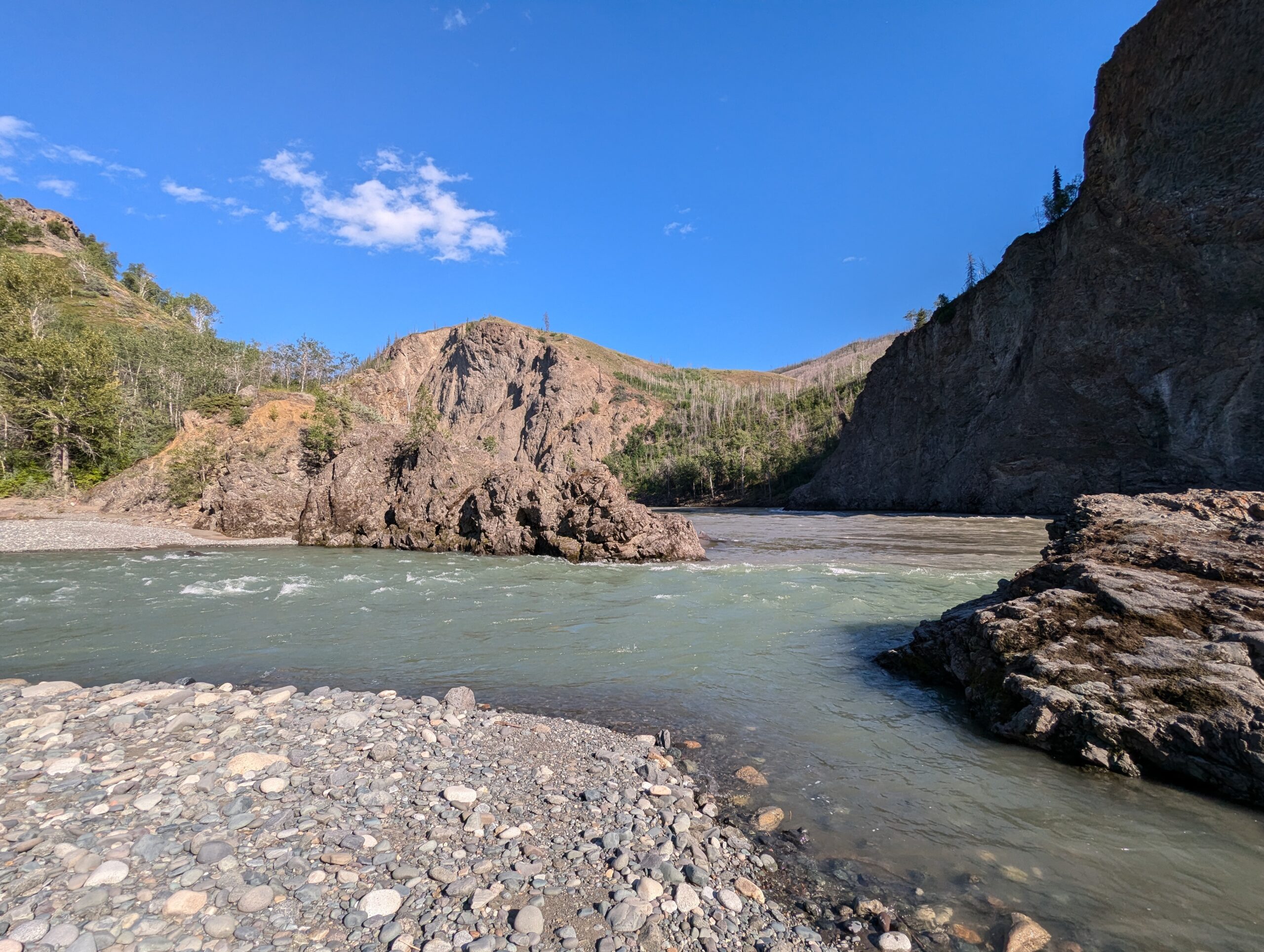
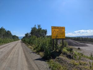
That all changes after the 70th kilometer, though. An ominous sign for “Steep Mountain Highway – Grades up to 20%” gives you some heads up before the road dives headfirst down the walls of a canyon into the start of the Stikine River’s valley.
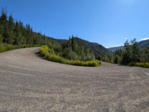


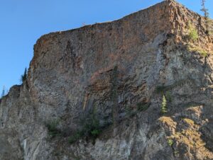
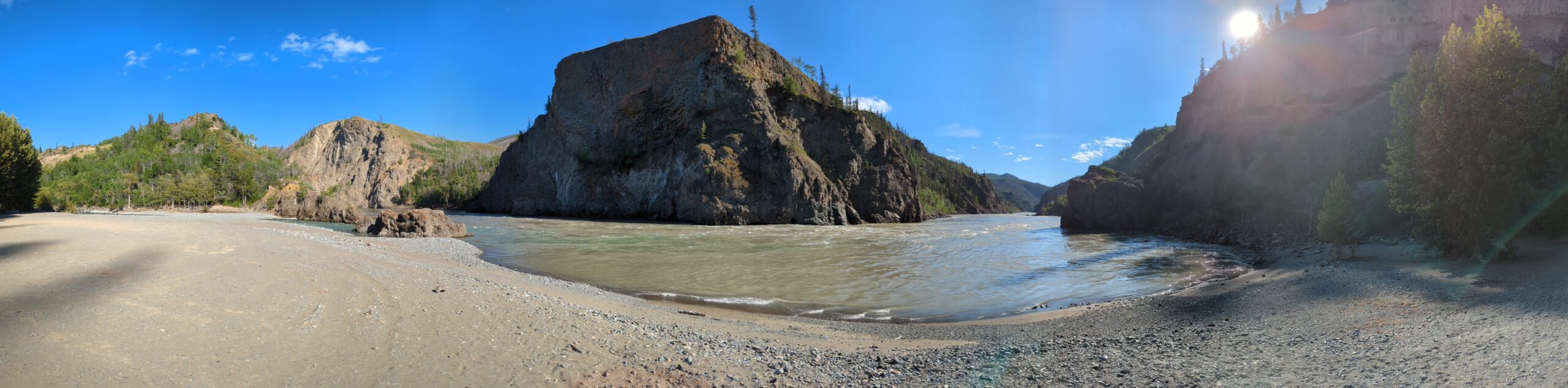
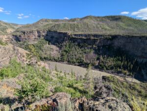
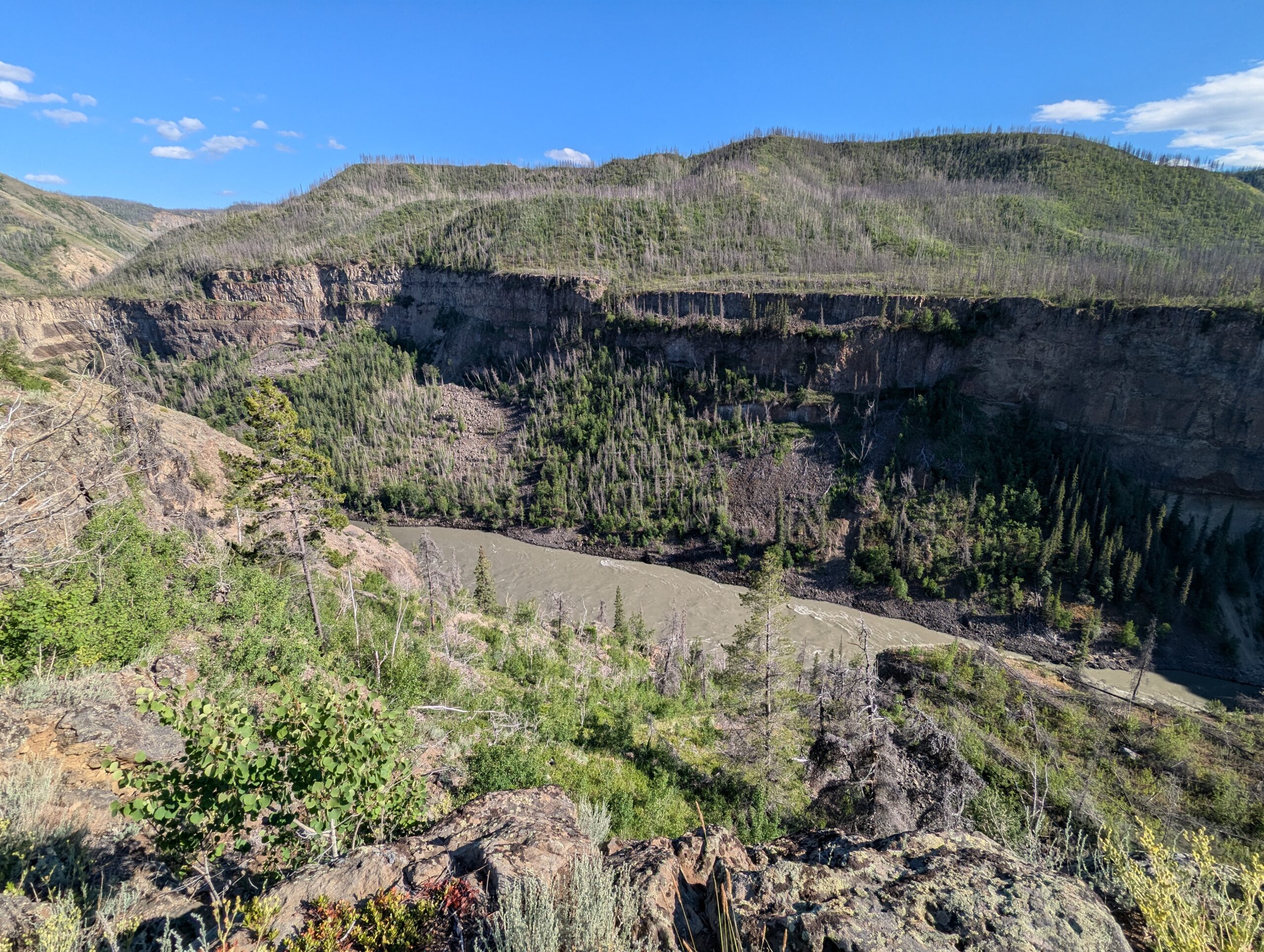
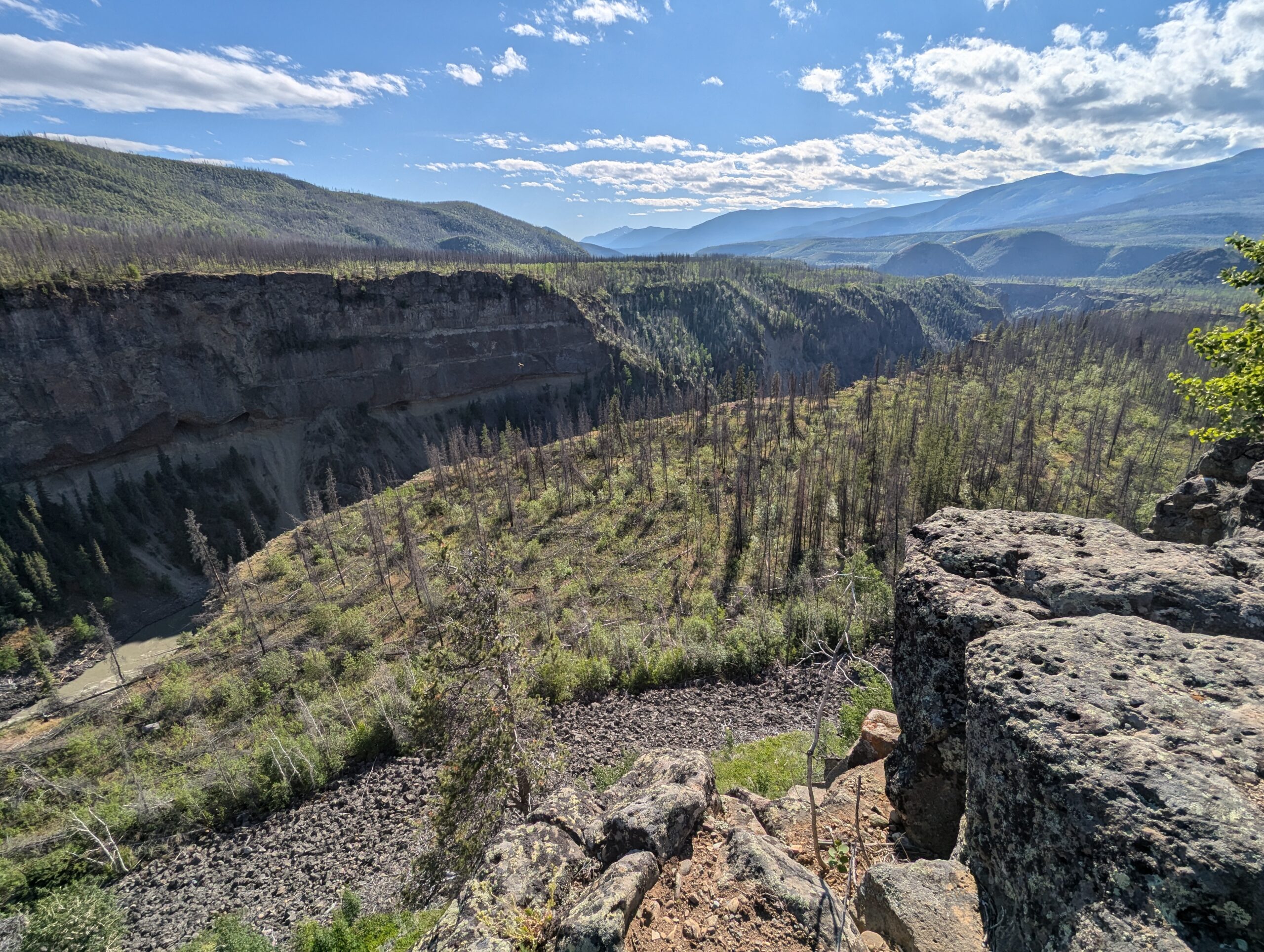
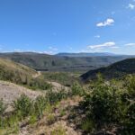
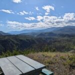
You continue along the road for a bit, climbing here and there and seeing the river drop down to your left before hitting a massive mud slide area and climbing much more steeply up the rim of the canyon. Eventually the road just kind of drops out from below you and you enter the proper part of the “Grand Canyon of the Stikine River.” From the rim above you can see down into the canyon, but it’s hard to tell exactly how deep the canyon goes until you venture a bit further and a scenic overlook reveals the river hundreds of feet below.
The further you go along the road the deeper the canyon gets until the road drops like a roller coaster again towards the canyon floor.


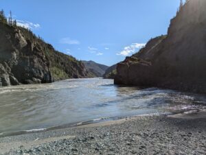
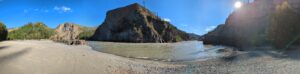
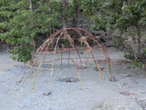
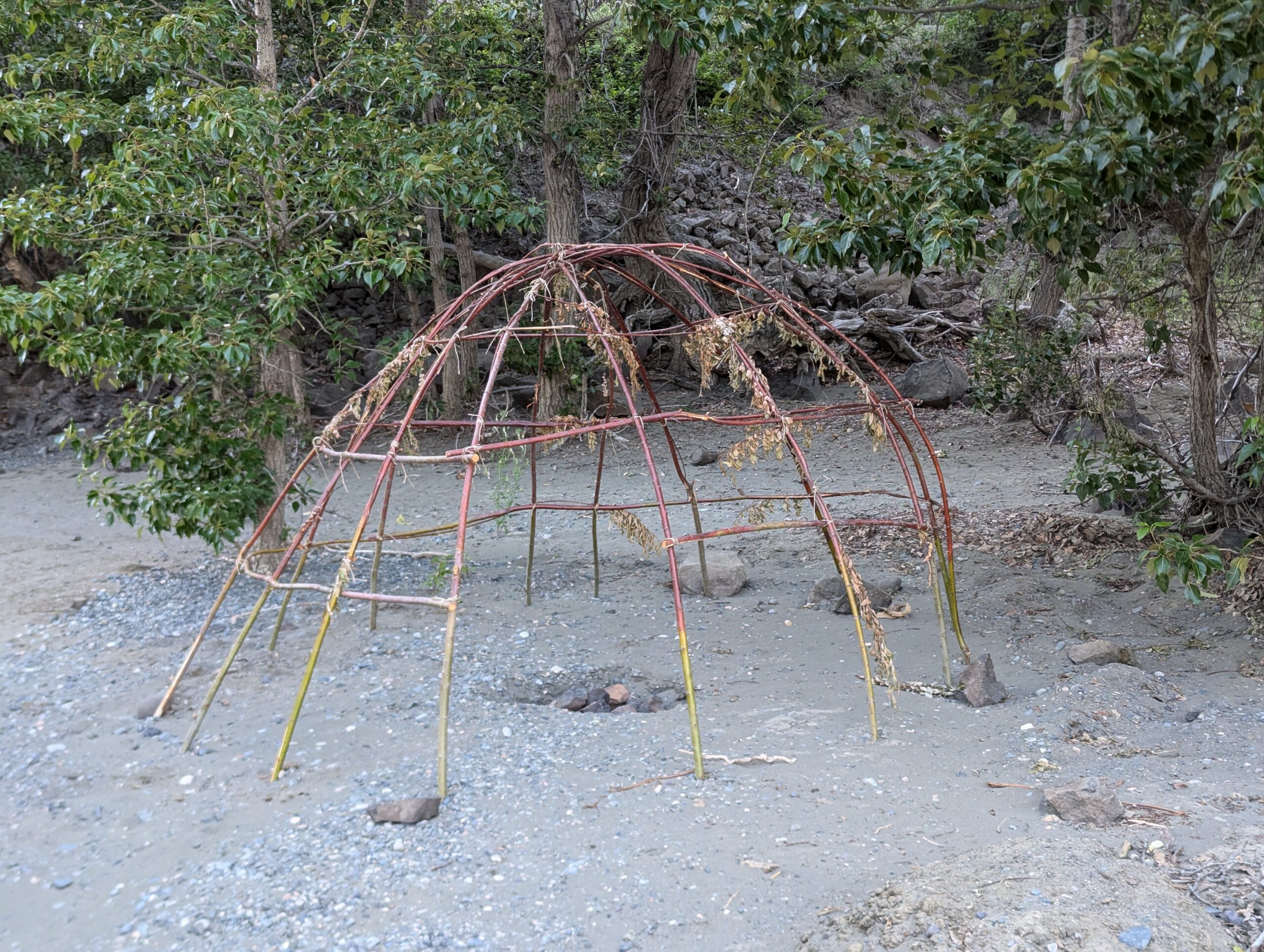
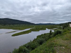
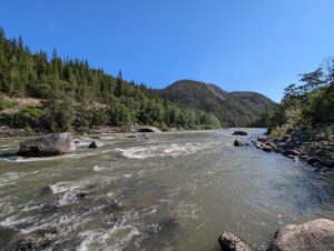
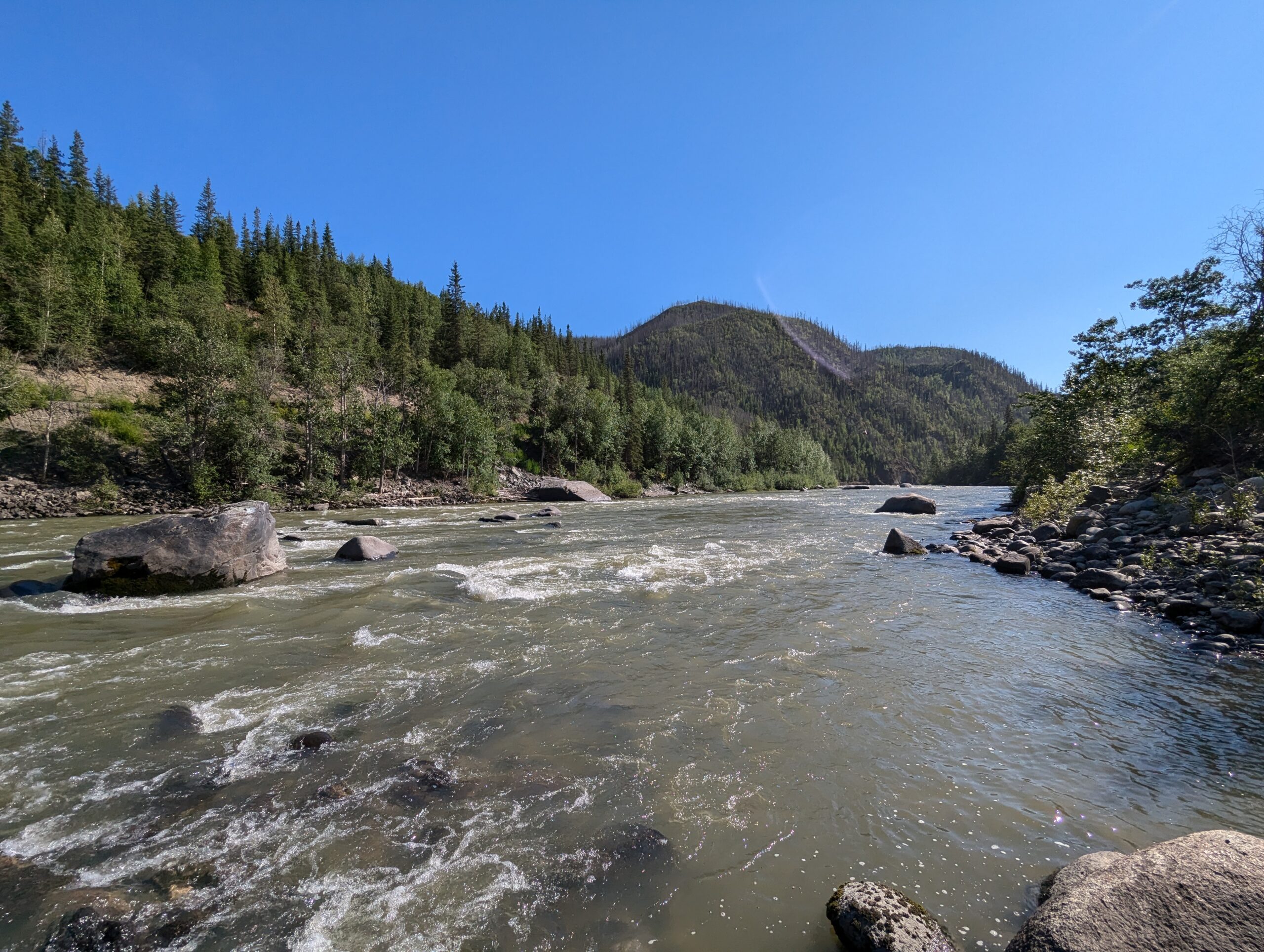
Just past the bottom of the canyon there’s a seasonal fishing village which is starting to become populated by the Tahltan First Nation. A little further down the road is a little beach head where the Tahltan and Stikine rivers join, their blue and brown colors swirling together. High up the canyon wall is a rock formation in the shape of an eagle, and the Tahltan believe that this is where their tried was formed. I didn’t notice when I first road out onto the sand, but tucked away in a corner was the beginnings of a sweat lodge.