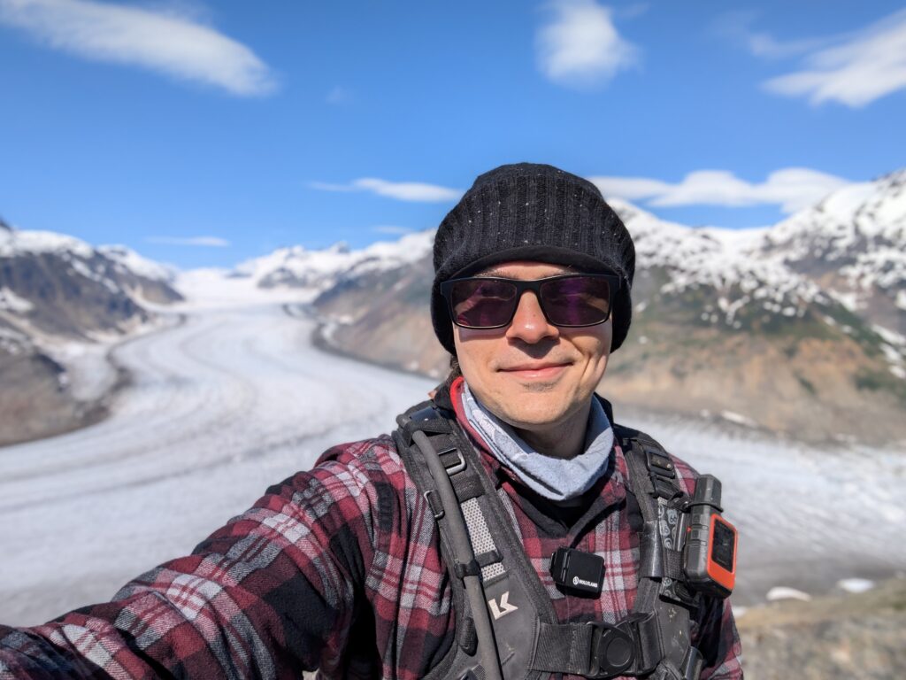
I spent the morning backing up my hard drive and reading a bit before heading out to the glacier. Despite being in BC, the Salmon Glacier is only accessible via a road that starts in the town of Hyder, Alaska. Hyder is a small town of only 48 residents and is only accessible by road from Canada, so they don’t even have a border checkpoint for entering the US here.
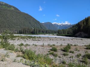
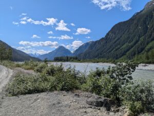
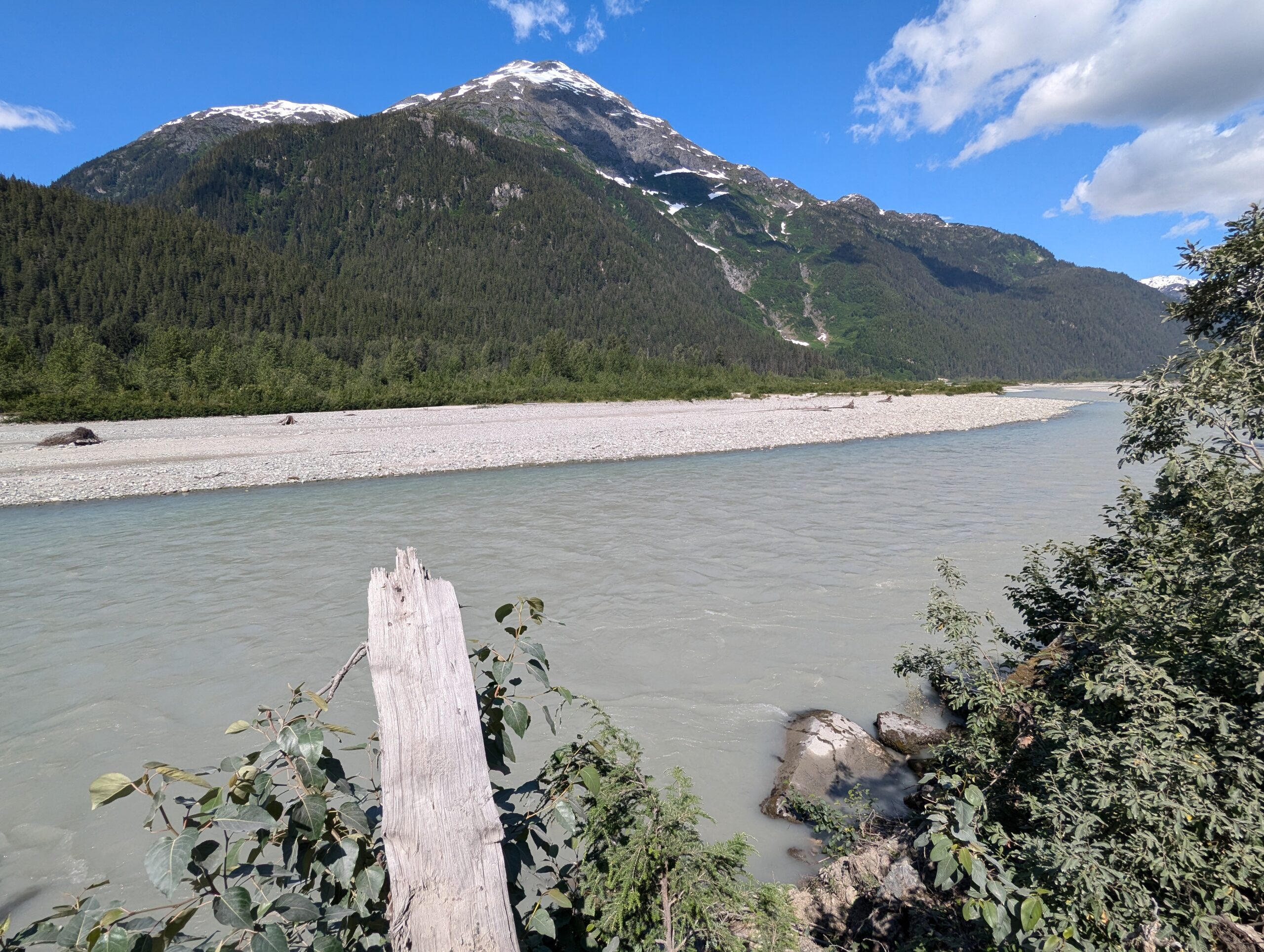
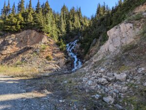
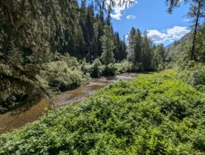
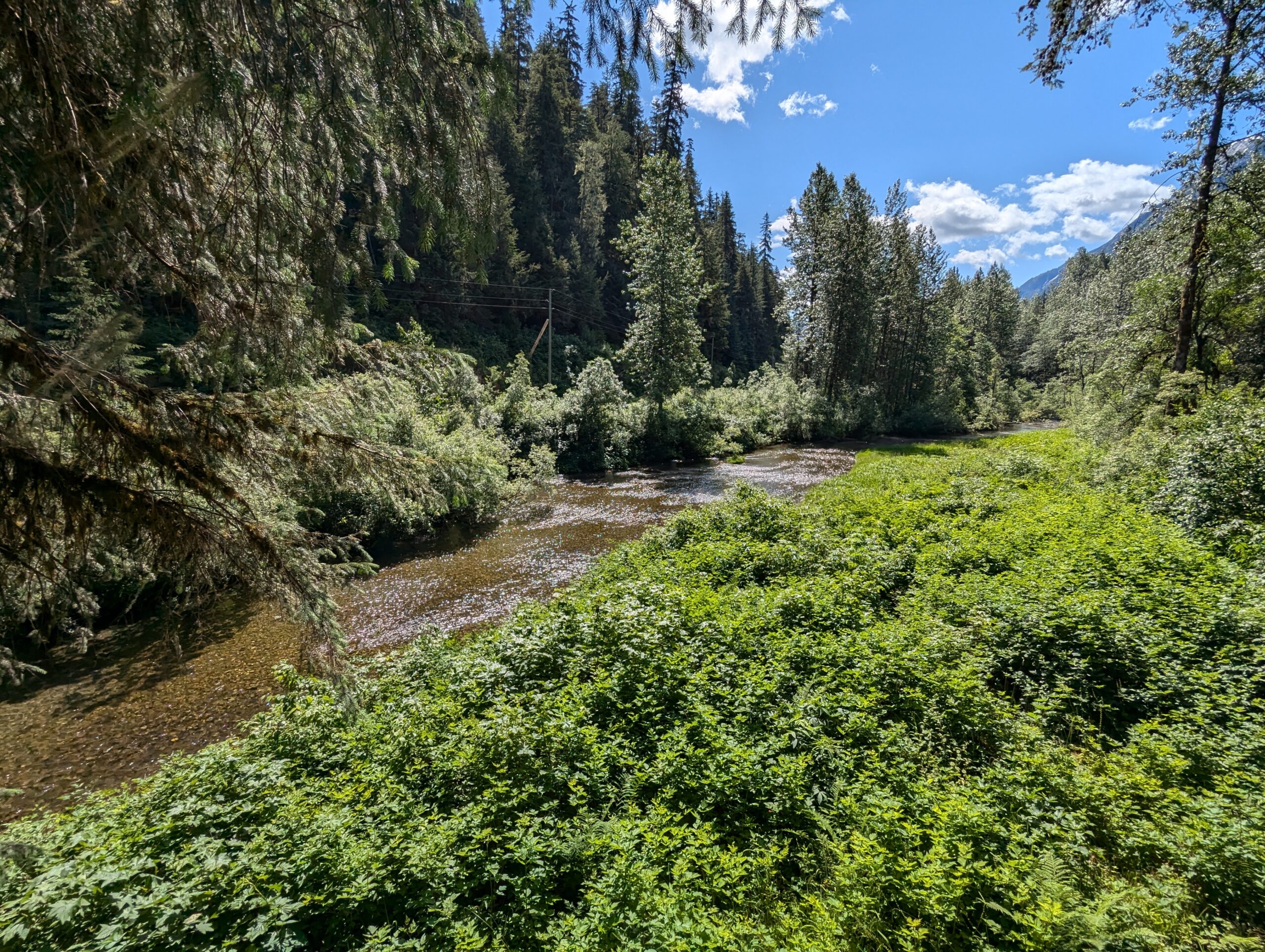
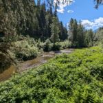
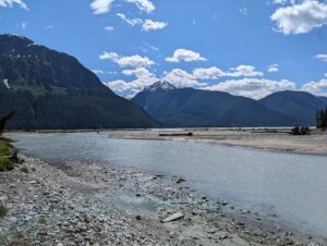
The road offers some pretty stunning views even before exiting the fjord and of a series of creeks and rivers flowing through the glacial moraine. The Fish Creek Wildlife area is along the road here, which I was planning to visit on my way back down. Somewhat appropriately, the only bear I saw that day was entering the brush just past the wildlife area.


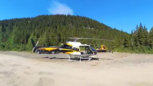
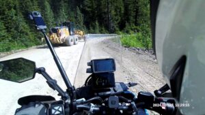
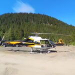
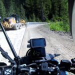
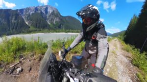
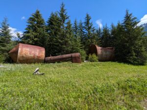
As the route winds up the mountains, you can start to see evidence (and have some close passes) with trucks from the hydro project and active gold, silver, and copper mines that use the forest service road as a haul road. The road surface is a lot looser and choppier here, bringing speeds down (not that they’re that high with all the mining equipment). I came around to corner and was surprised to see a helicopter parked on the side of the road. I’m assuming they block off the road when it’s actually time for it to take off, but it was still there when I got back.


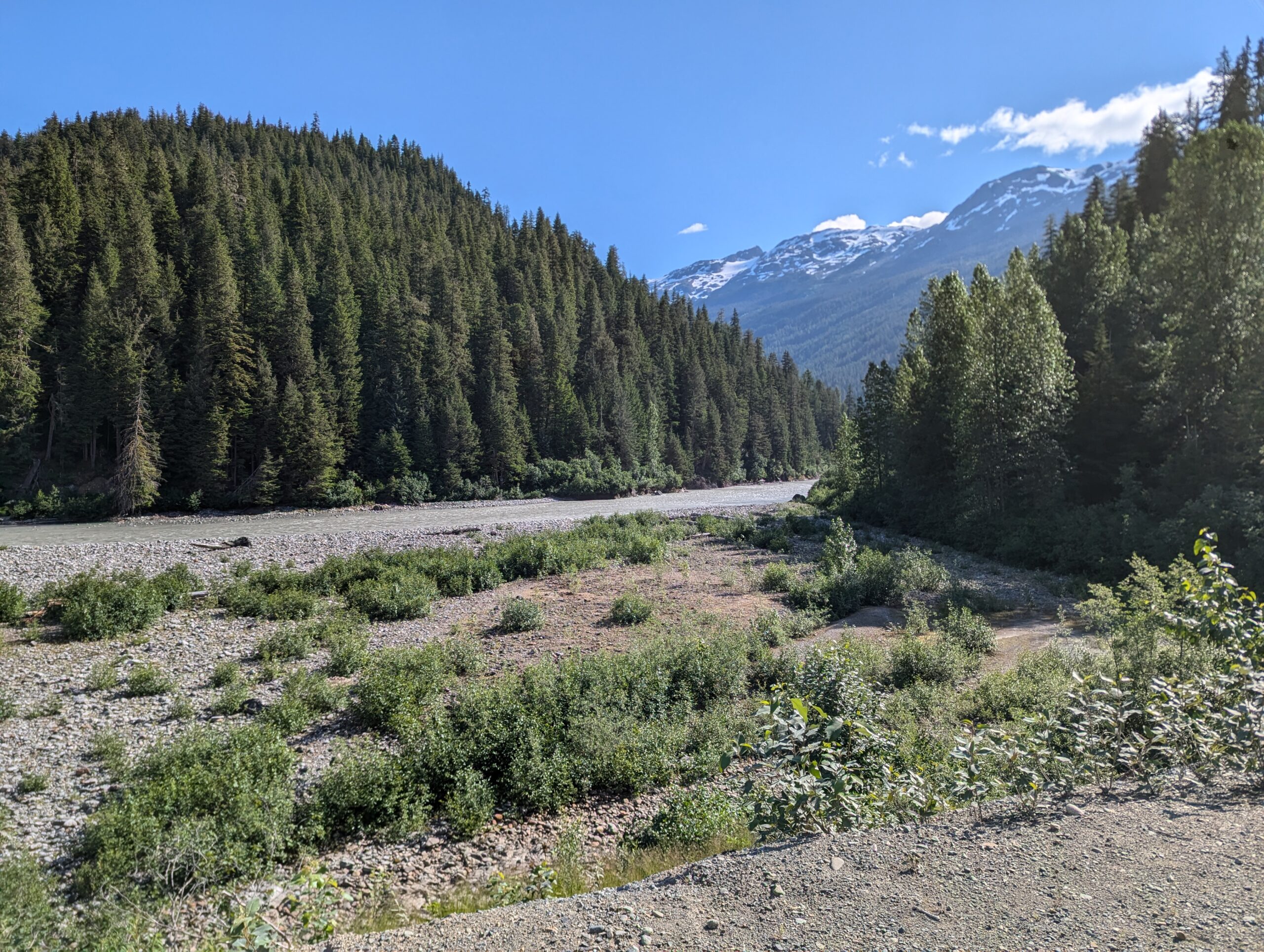
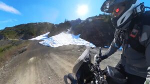
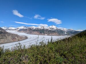
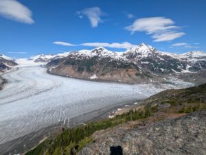
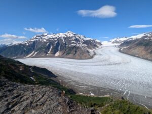
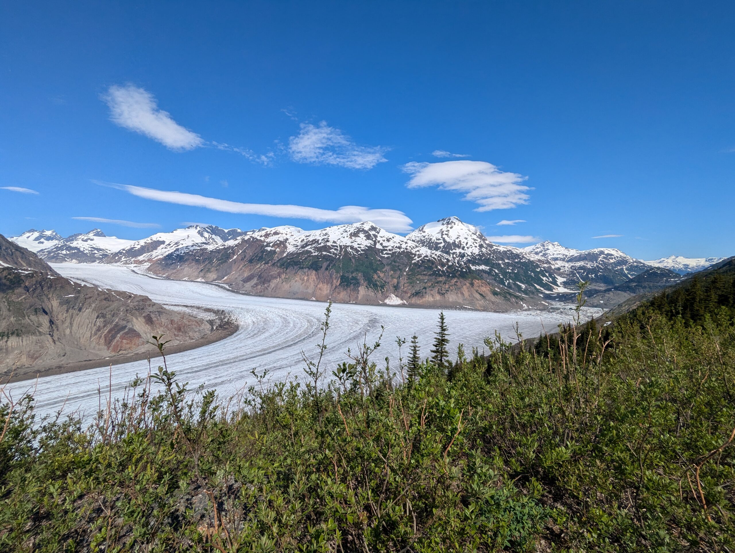
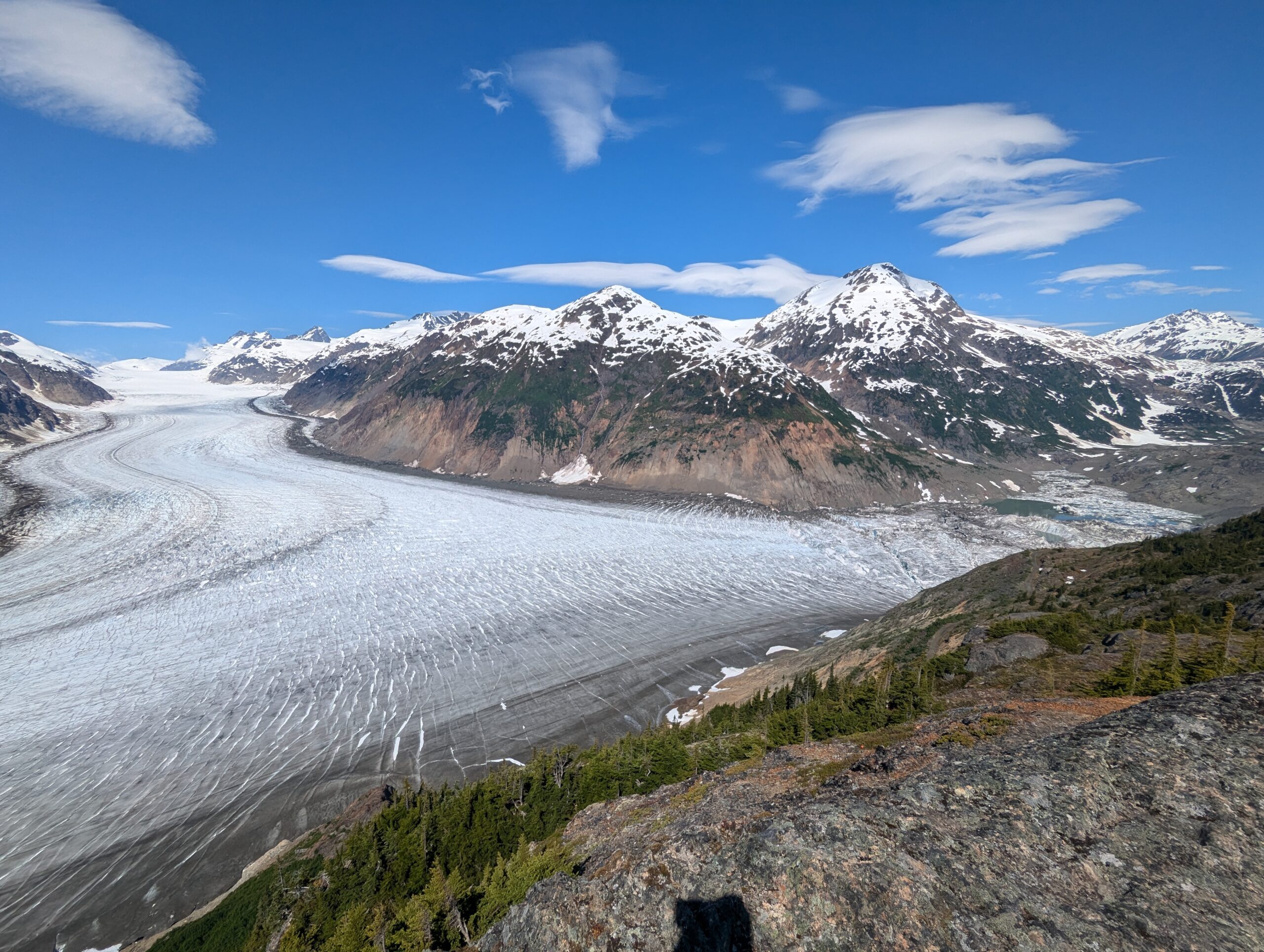
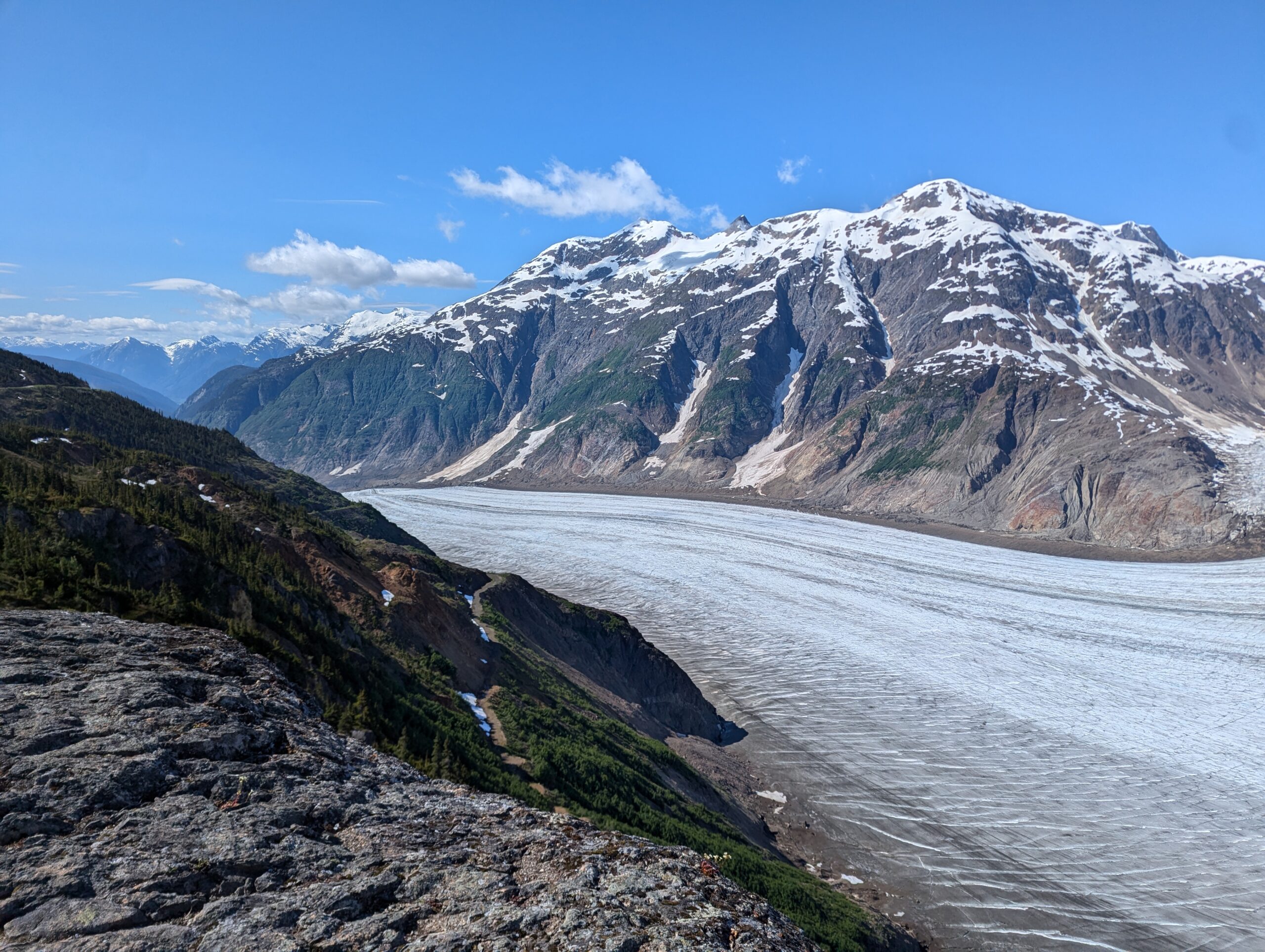
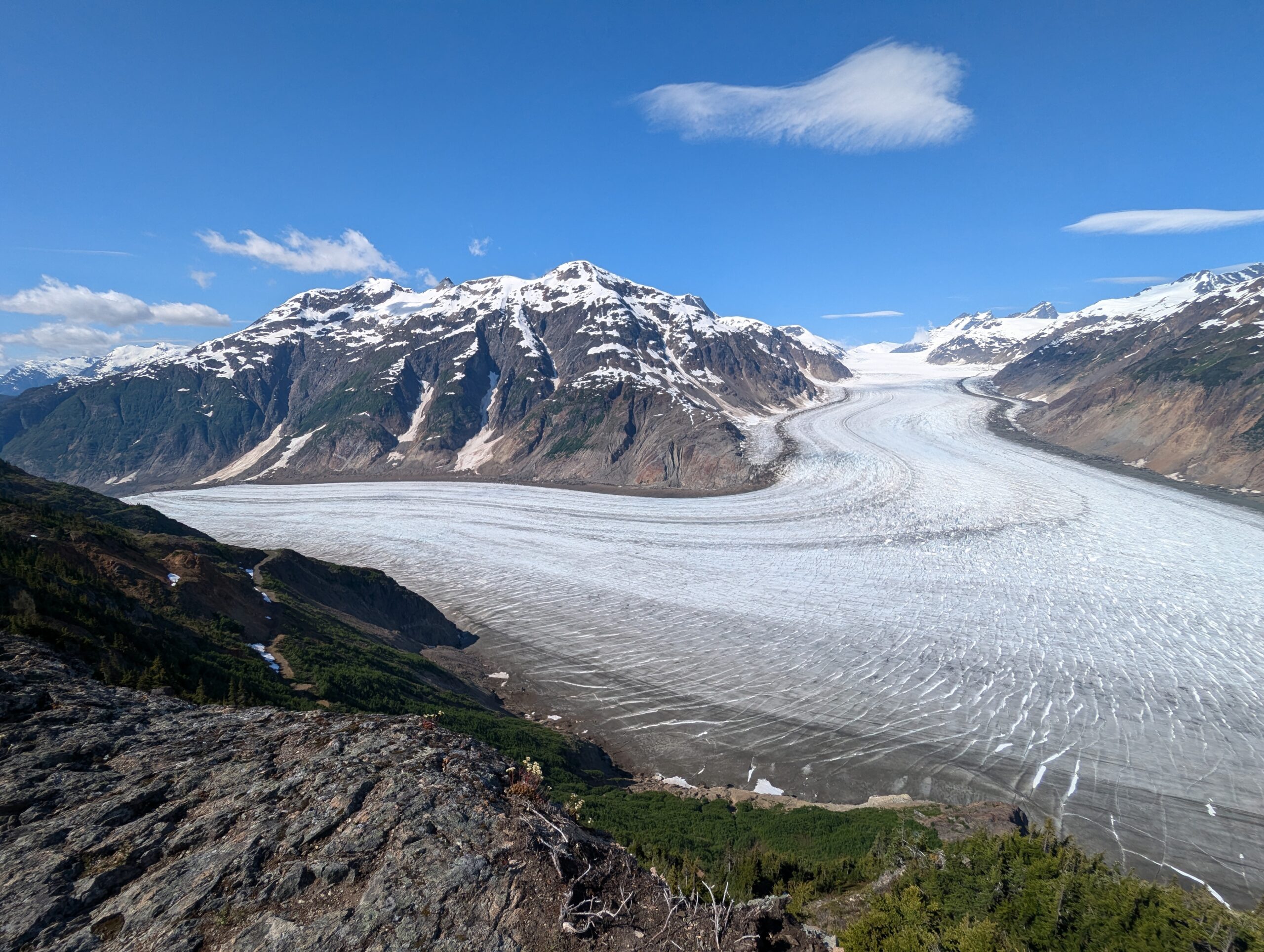
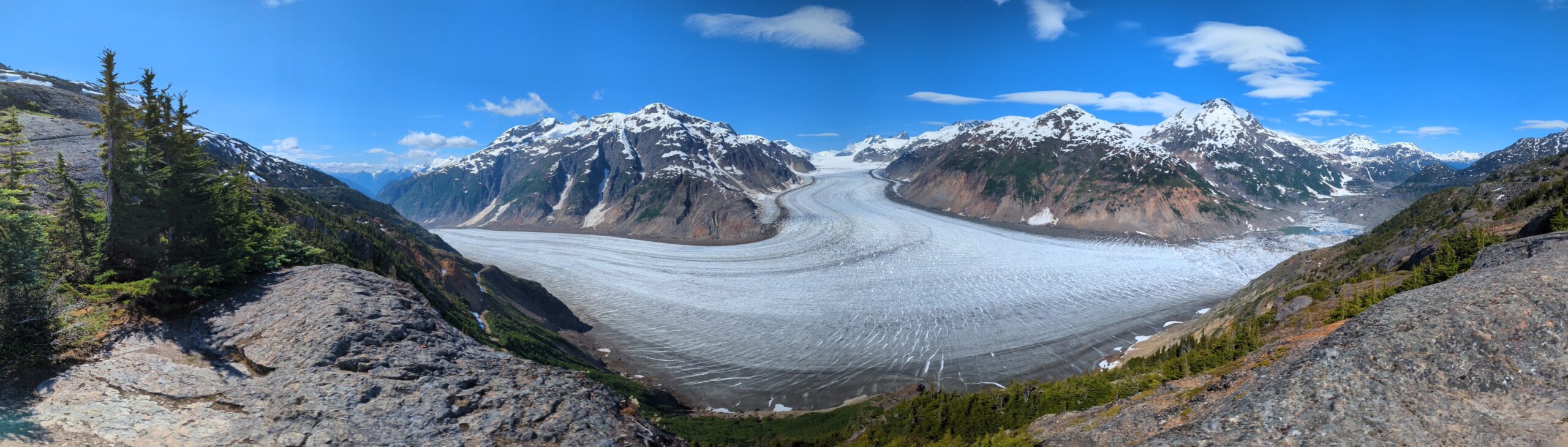
As the road gained elevation I started catching glimpses of the glacier through the trees of the canyon, and it was amazing how much closer it got every time I saw it again. Similar to some of the mountain passes in Idaho, you can see the road snaking along the ridgeline miles ahead of you and yet it still surprises you when you get there. There was some snow close to the summit, but there was plenty of room to squeeze past.

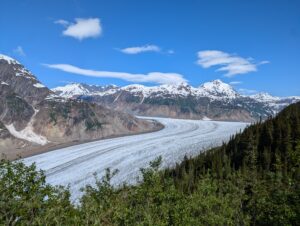

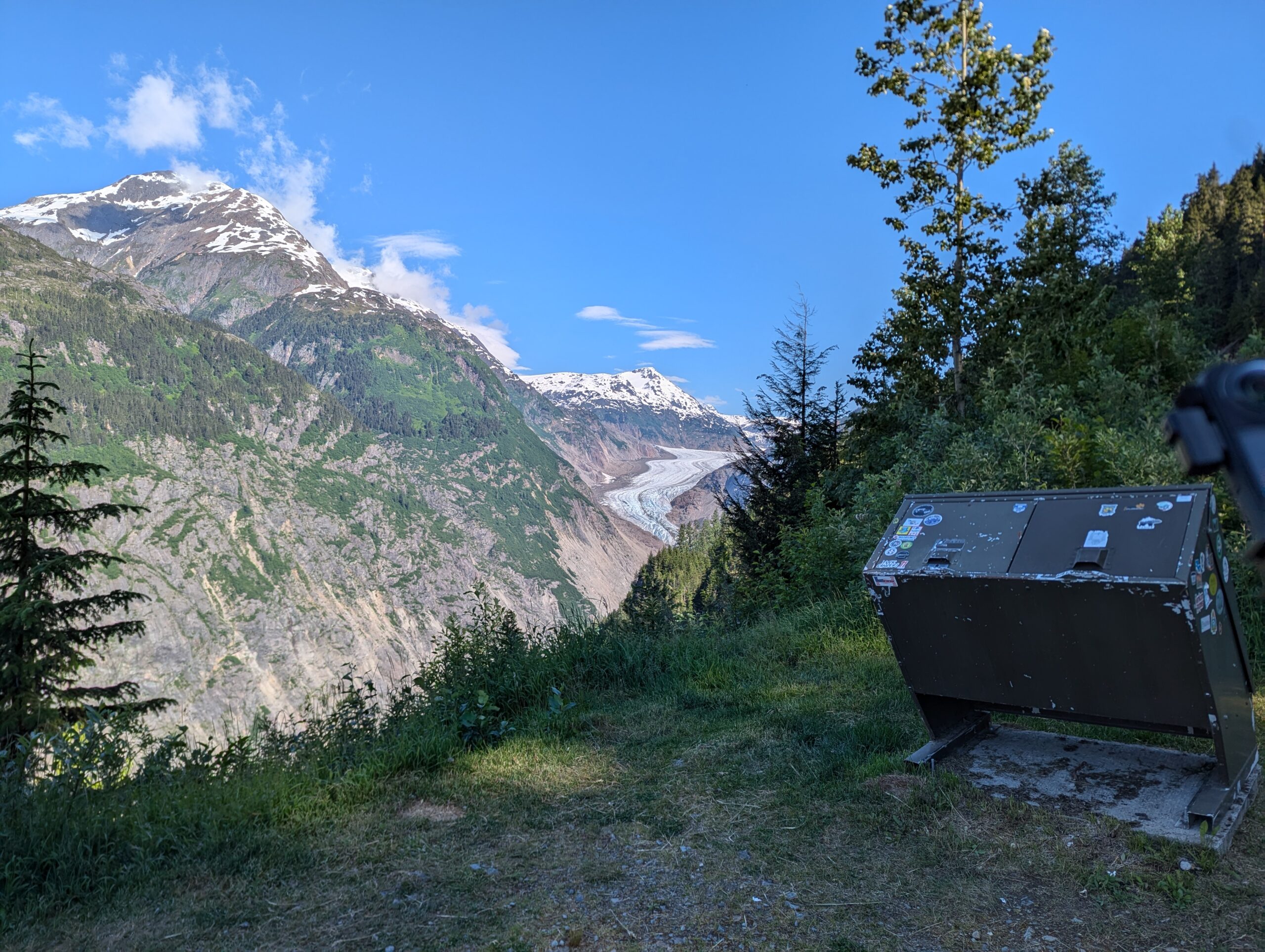
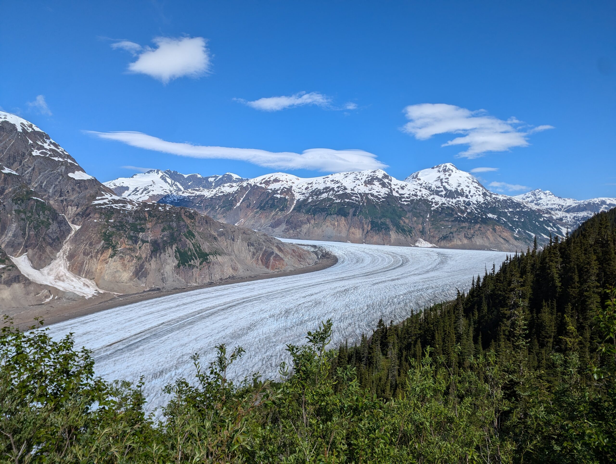


The Glacier itself was immense, with one part of the tail coming down from a high mountain pass and another coming out of a glacial lake a bit further up the road. While smaller than the Athabasca Glacier in Jasper, the ability to look down on this one from the canyon wall was spectacular. You could see the miles of ridges, waves, and cracks in the surface of the ice as it wound its way down the mountain.


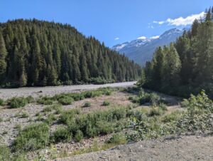
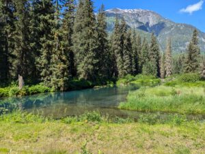
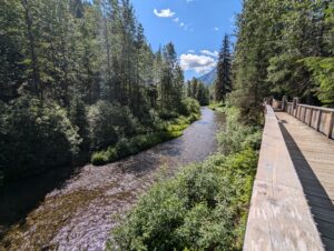
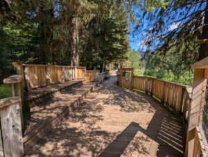
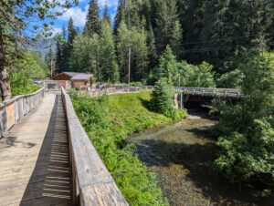
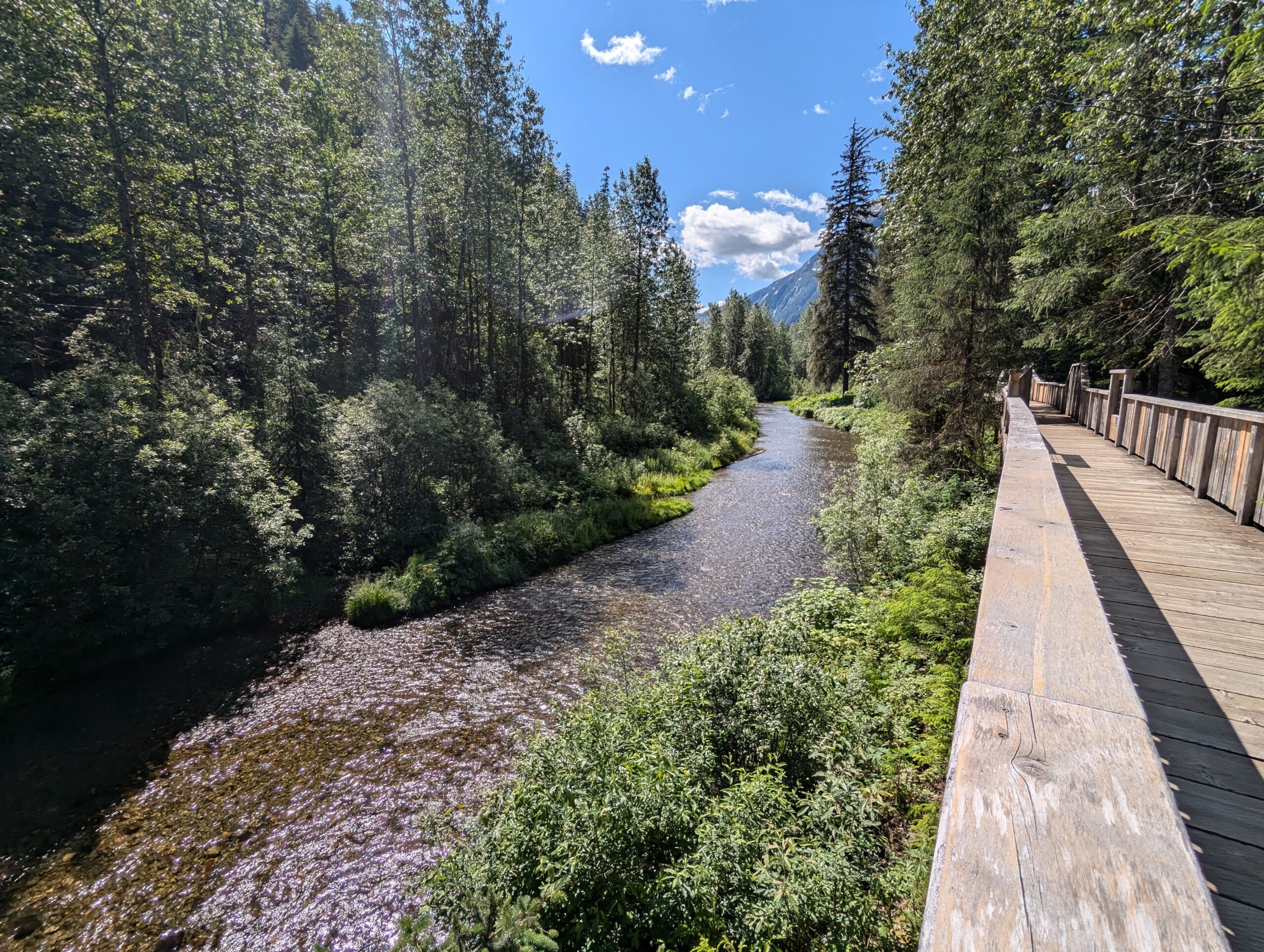
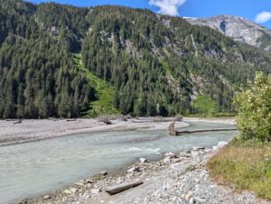
After taking in the scene for a while, I wound my way back down the mountain and checked out the wildlife viewing area on my way in. Unfortunately, the salmon and hence the bears hadn’t shown up yet for the season. The ranger mentioned they’d had some beaver and bald eagle sightings, but I didn’t see any while I was there. Either way it was a pleasant stroll along the creek and I loved the boardwalk itself — it’d be awesome to come back and actually see the bears at some point.


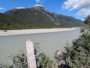
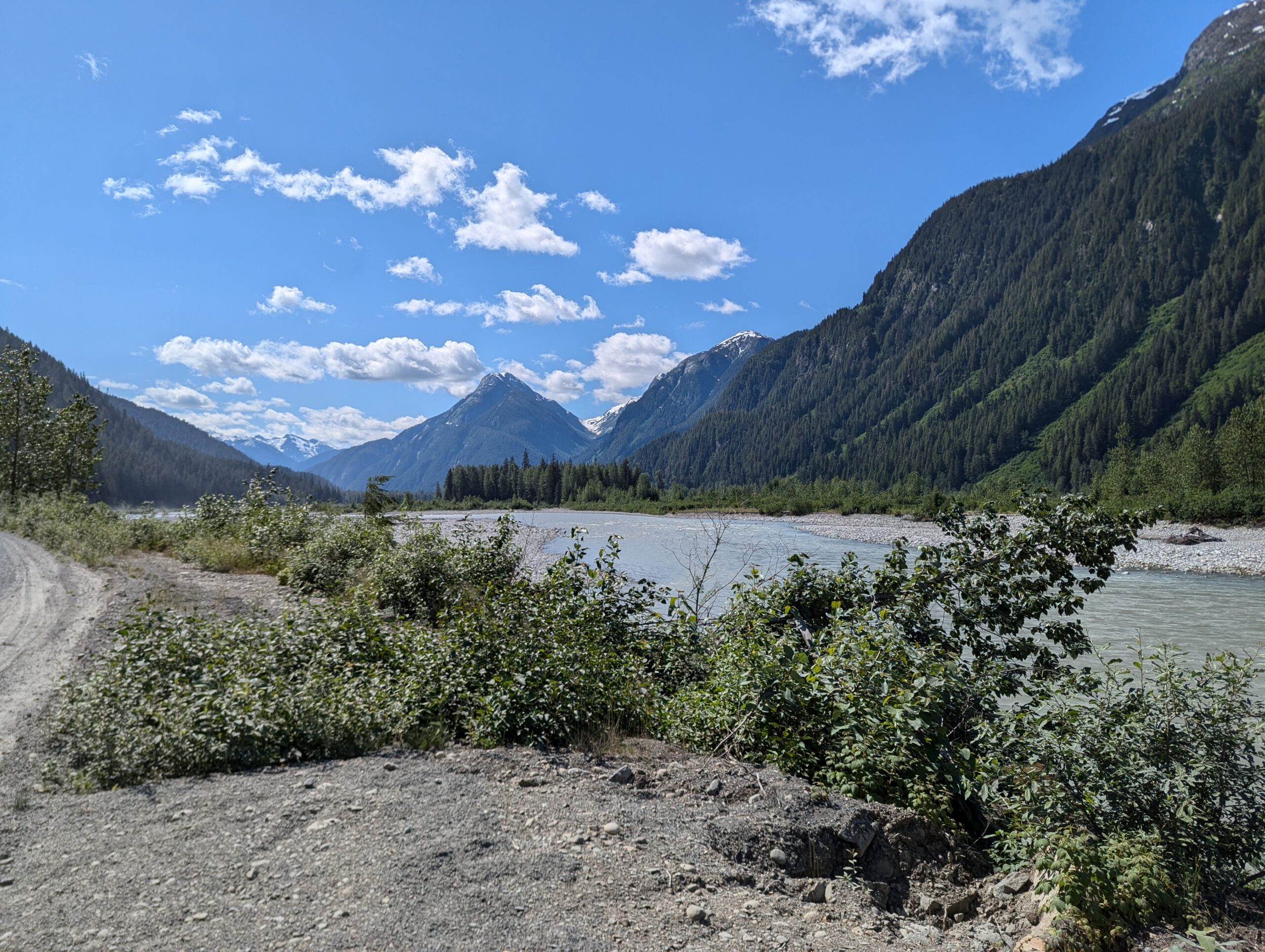
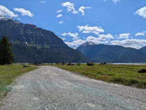
On the way back to Stewart I ran across a little dirt road that followed the creek and I couldn’t help myself. Garmin had routed me on this in the morning but I’d skipped it, which ended up being a good thing. The road was great and lead up to a cool little beach area where the creeks and moraine met up with the fjord, but the connector back to the main road was flooded out.
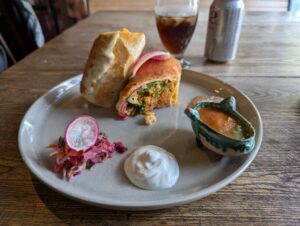
After backtracking the couple of KM back to the main road I made my way back across the border. This guard was much for thorough than when I first entered Canada, making me take my helmet off, thoroughly describe my itinerary, and explain why I didn’t have any luggage — but he then asked me about my bike since he was shopping for a mid-sized ADV and we had a nice chat. I got an awesome burrito from a Mexican place that was closed last night and then did some chain cleaning and other bike maintenance once I got back to the AirBNB.
I’ve been able to post pretty regularly lately, but I’m not sure what things will be like going forward. There should be signal in some of the major towns over the next week or so, but I’ll be starting to head much further North and into the Yukon after tomorrow. The roads are also going to started getting rougher, so while I’ve sought out dirt on my way up so far, I won’t have a choice but to do long stretches on the unpaved northern highways.