I still haven’t gotten used to the sun setting so late at night, and last night I finally broke down and used the sleep mask and ear plugs I brought to fall asleep in my bright tent at 10pm. I woke up feeling rested and a bit chilly around 6am. The morning temperatures were in the 40s and I was reluctant to get out of my sleeping bag, but the Nisga’a Highway was calling so I started packing up and making coffee anyway.
I let the day warm up a little bit and got going around 9am, heading almost due north from Terrace to reach the Nisga’a Memorial Lava Bed, one of the parts of the trip I’ve been looking forward to the most. The Nisga’a Highway starts in Terrace and, for the first time in what feels like days, was twisty narrow road into the mountains with little traffic. The route follows some lakes and rivers with the occasional place boat launch or picnic area to take the views, another nice change of pace.
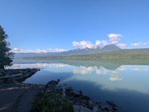
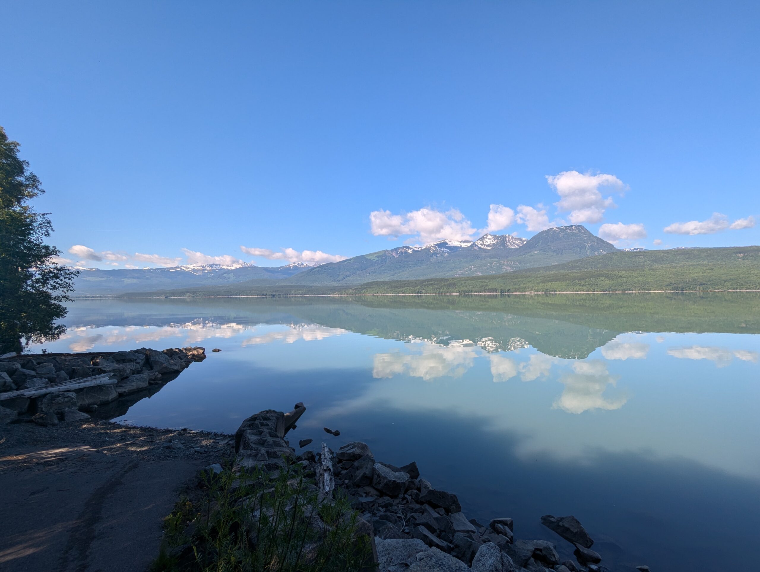

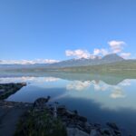

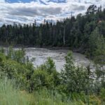
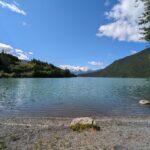
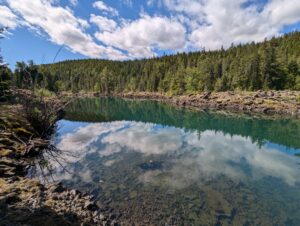
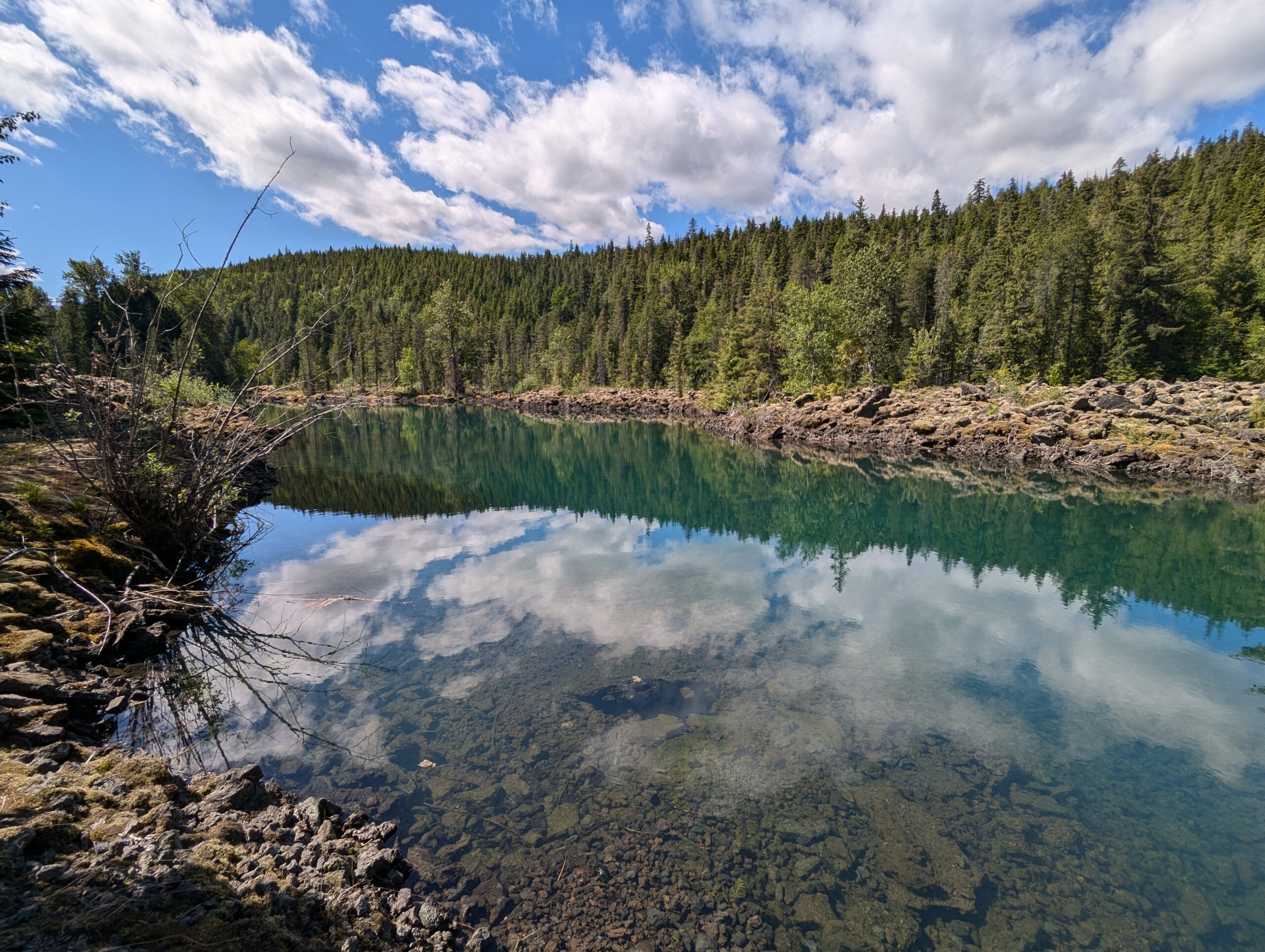
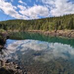
Eventually I reached the Lava Lake, which was formed (or at least greatly expanded, depending who you ask) when the lava flow of the Tseax eruption in the mid-1700s damned and re-routed the Nass river.
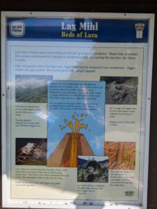


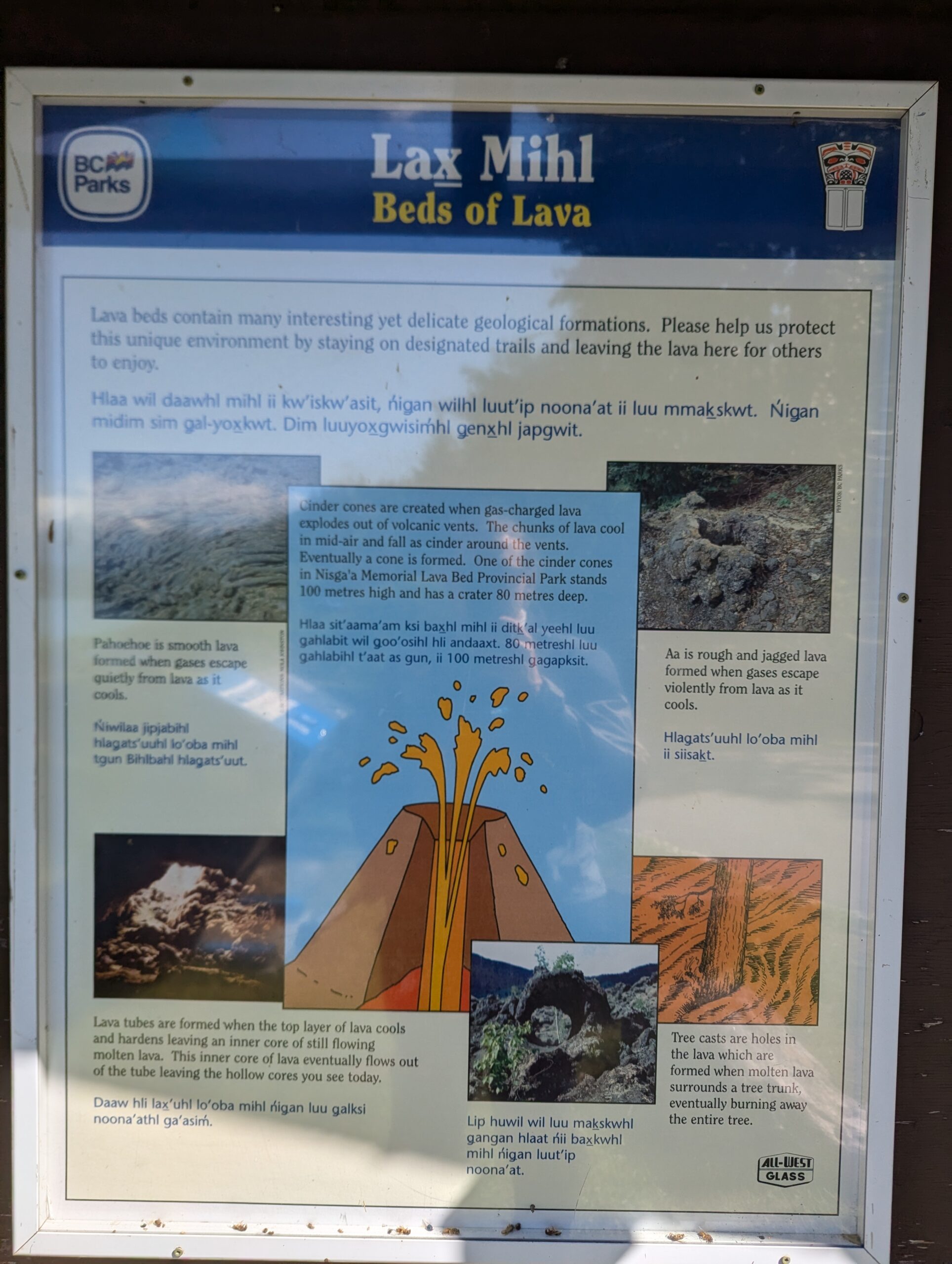
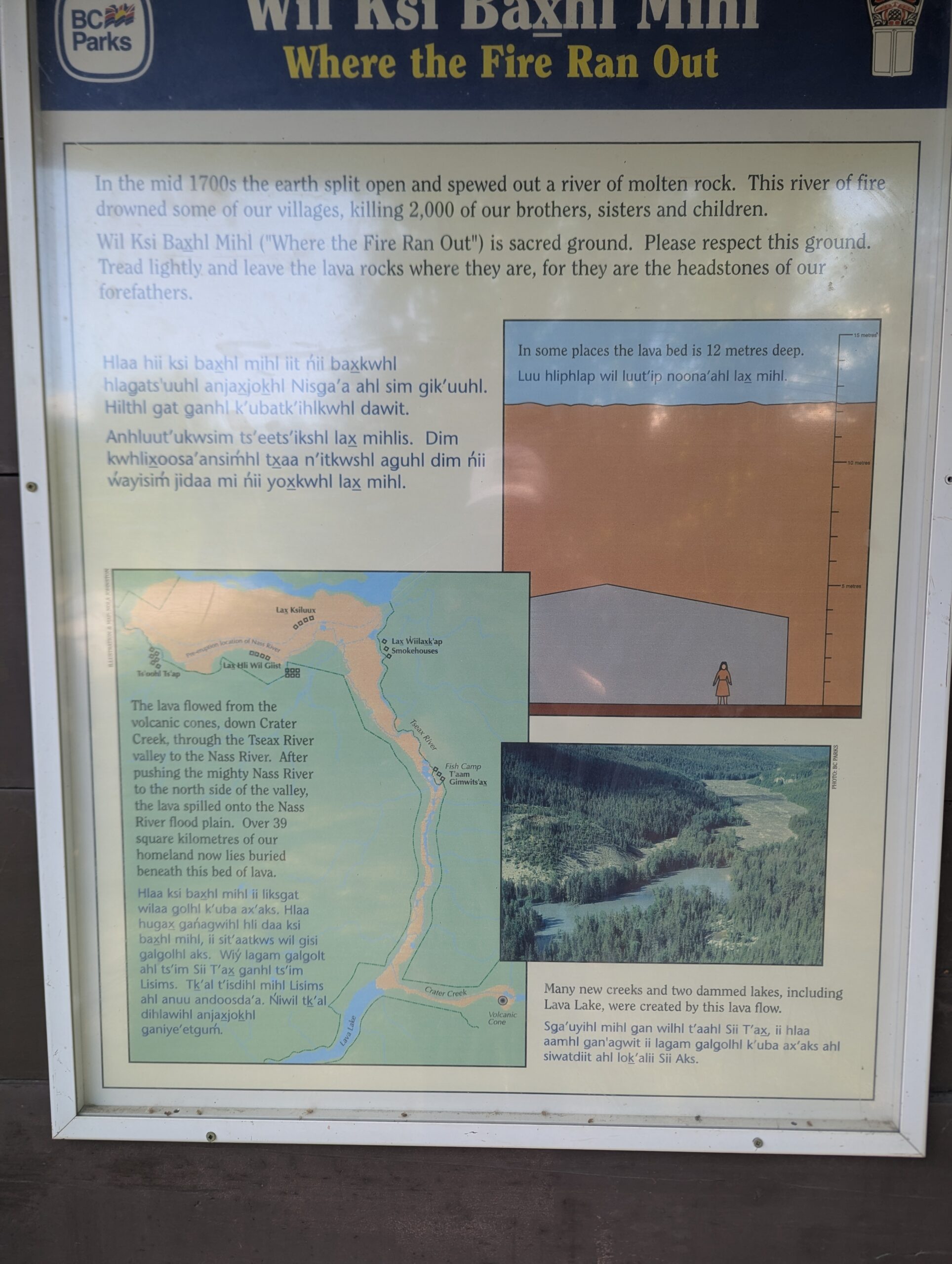

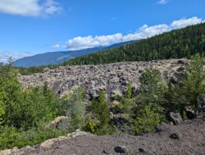
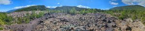
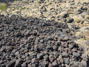
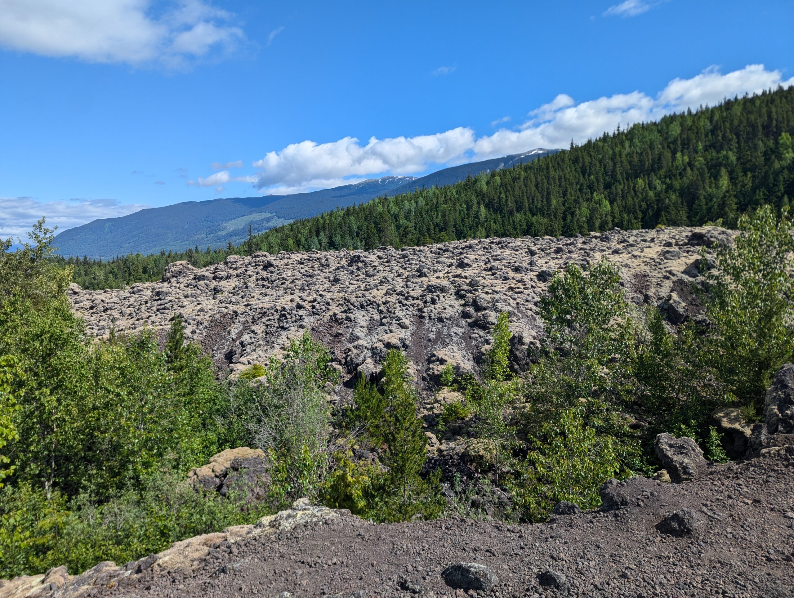
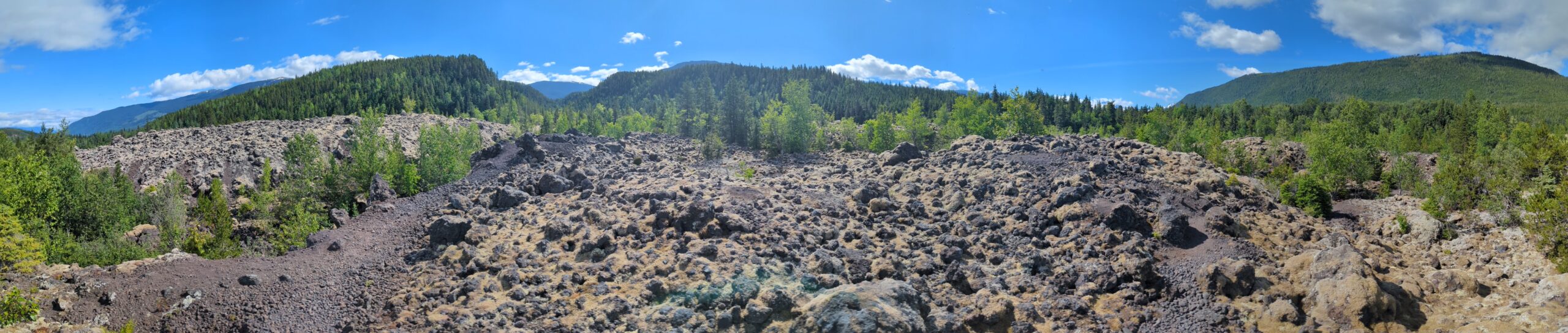
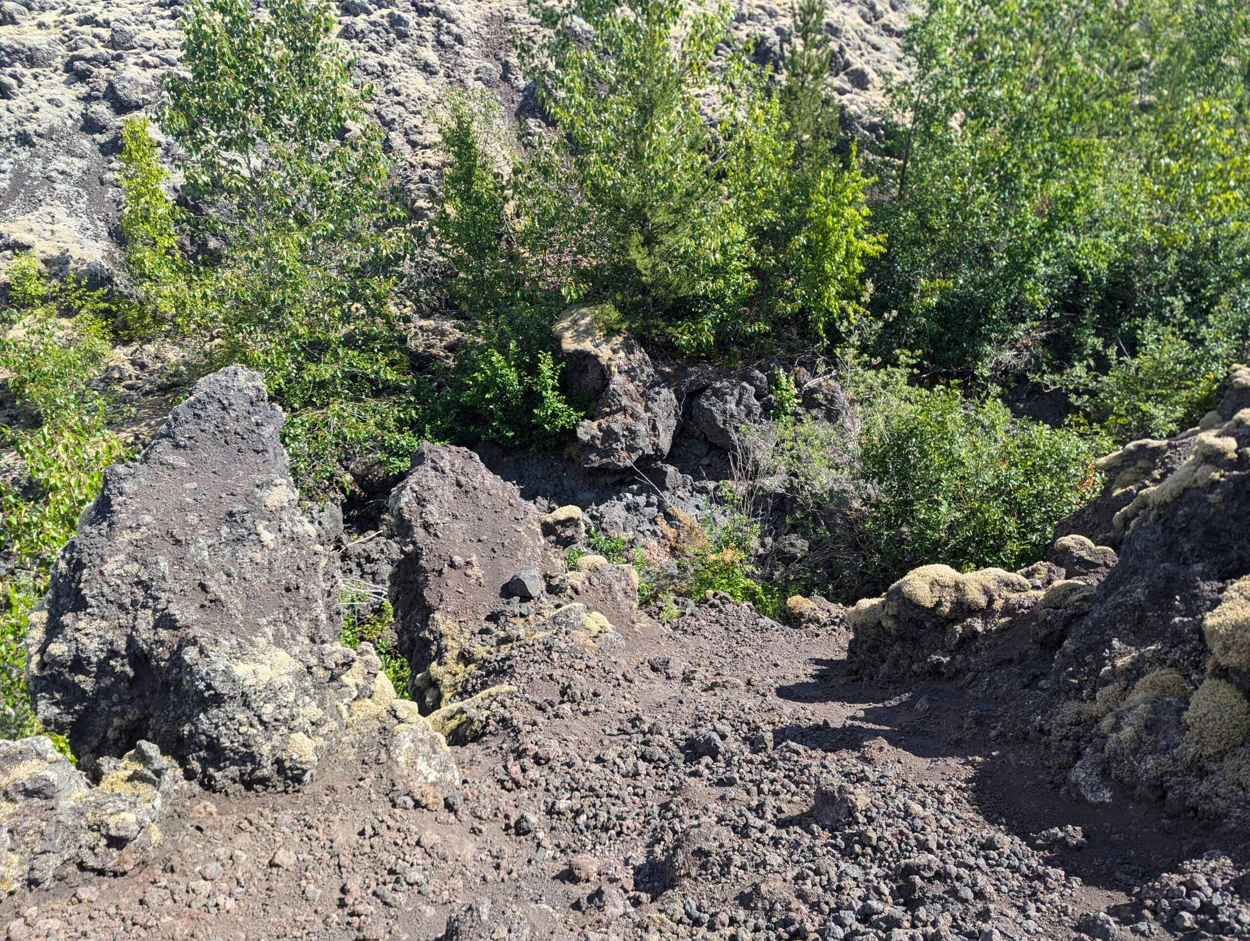
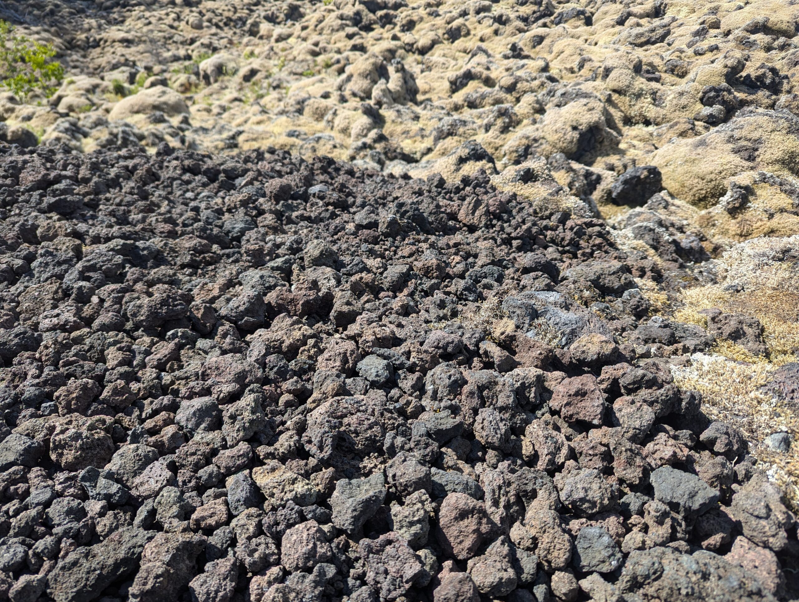
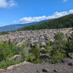
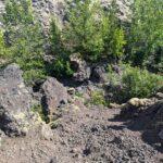
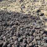
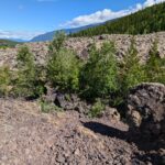
Only a short couple of k’s up the river is the first entry into the lava beds themselves. I messed up this stat in the video below, but the lava bed itself reaches almost 12 meters in depth (more than 30 feet) and killed over 2,000 of the Nisga’a nation when it erupted. There was an eerie stillness to the walk on the lava bed, and signs ask you not to take any of the lava rock as they are the headstones of their ancestors.
Despite only being about 300 years old, the lava was starting to be broken down by moss, bushes, and even fairly tall trees. The vertical variation of the field was also a bit mind-blowing, I wasn’t expecting to see hills and valleys of lava. I guess I assumed that it all would have settled and flattened as it cooled.
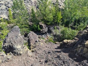
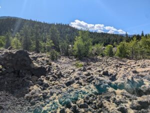
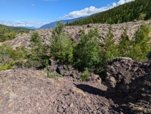


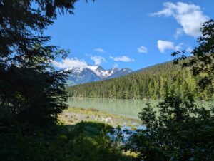
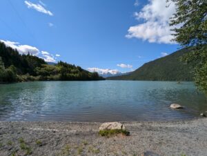
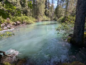
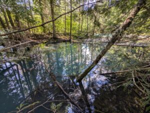
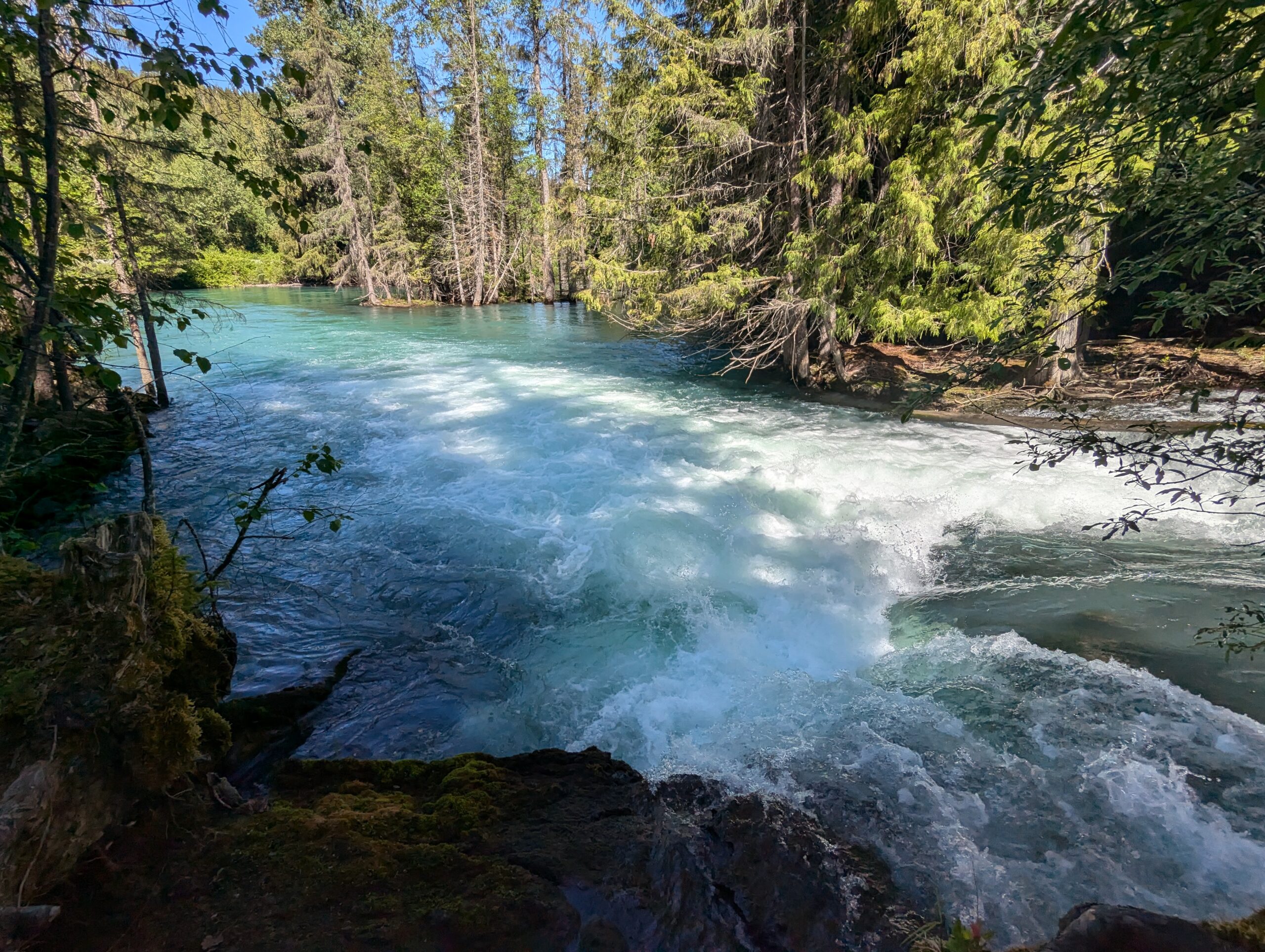
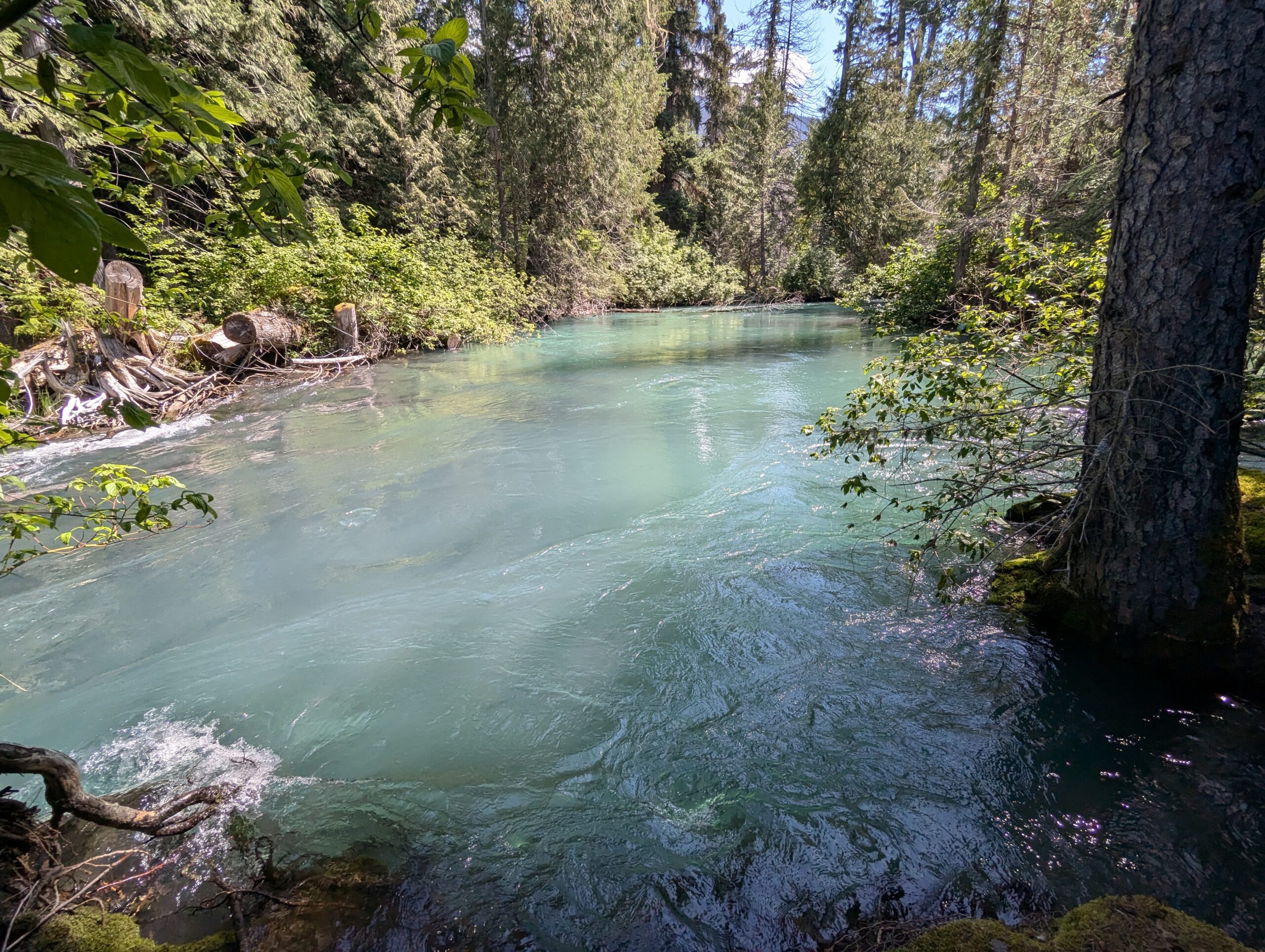
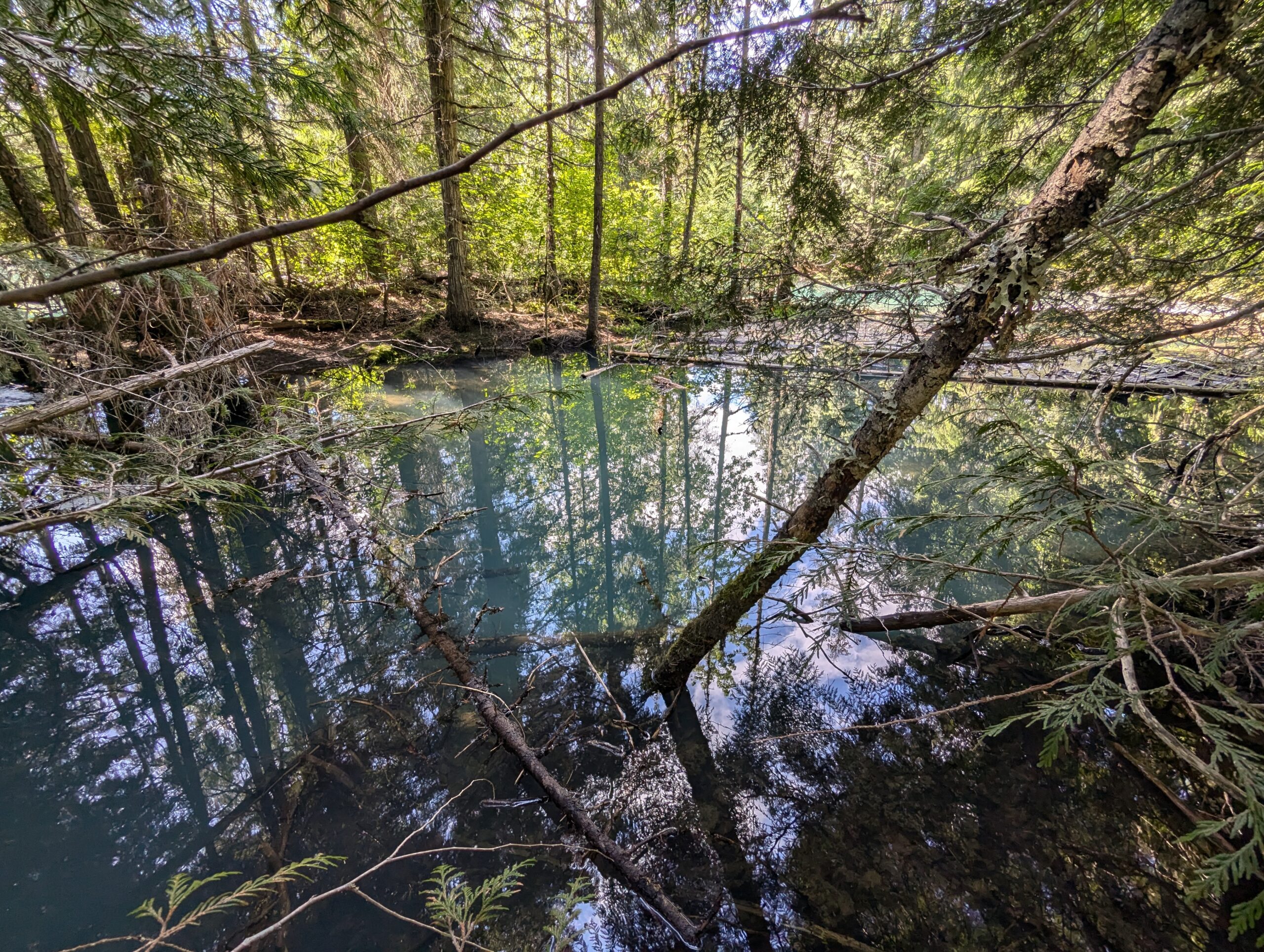
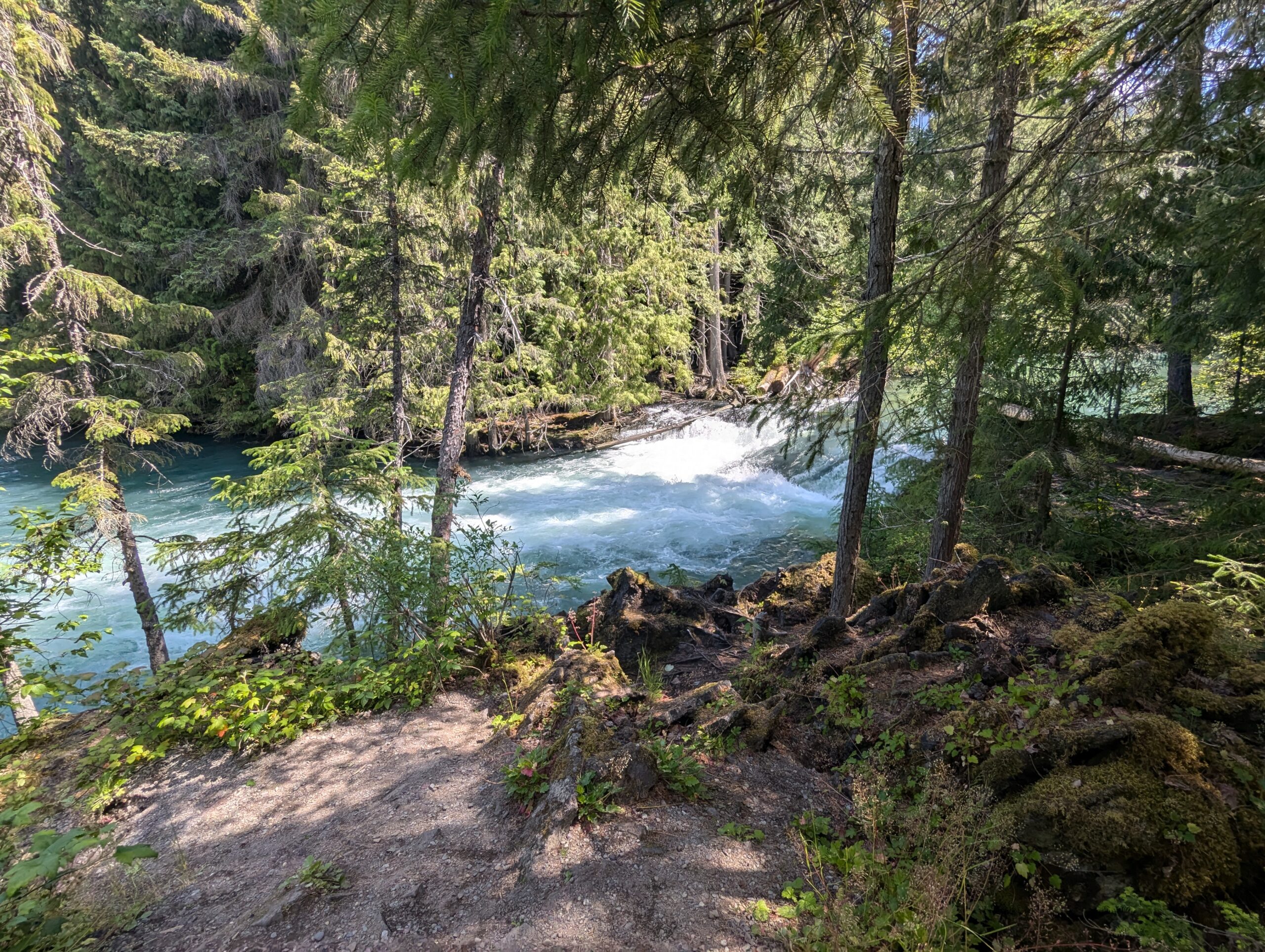
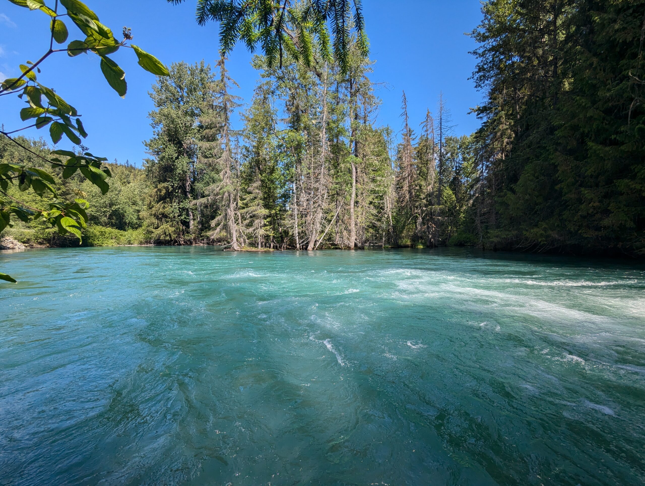
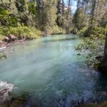
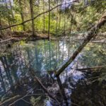
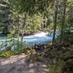
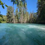
Another few short kilometers along the Nisga’a Highway are the Drowned Forests. Similar to the Lava Lake, this stream’s depth was drastically increased after the eruption and it now flows over the lava bed and through the forest. There are some deep sections with rapids, but my favorite parts were the quiet little pools where you could see straight down almost to the floor of the lava bed.


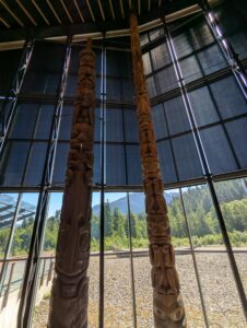
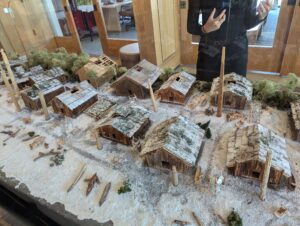
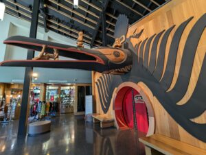
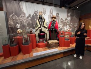
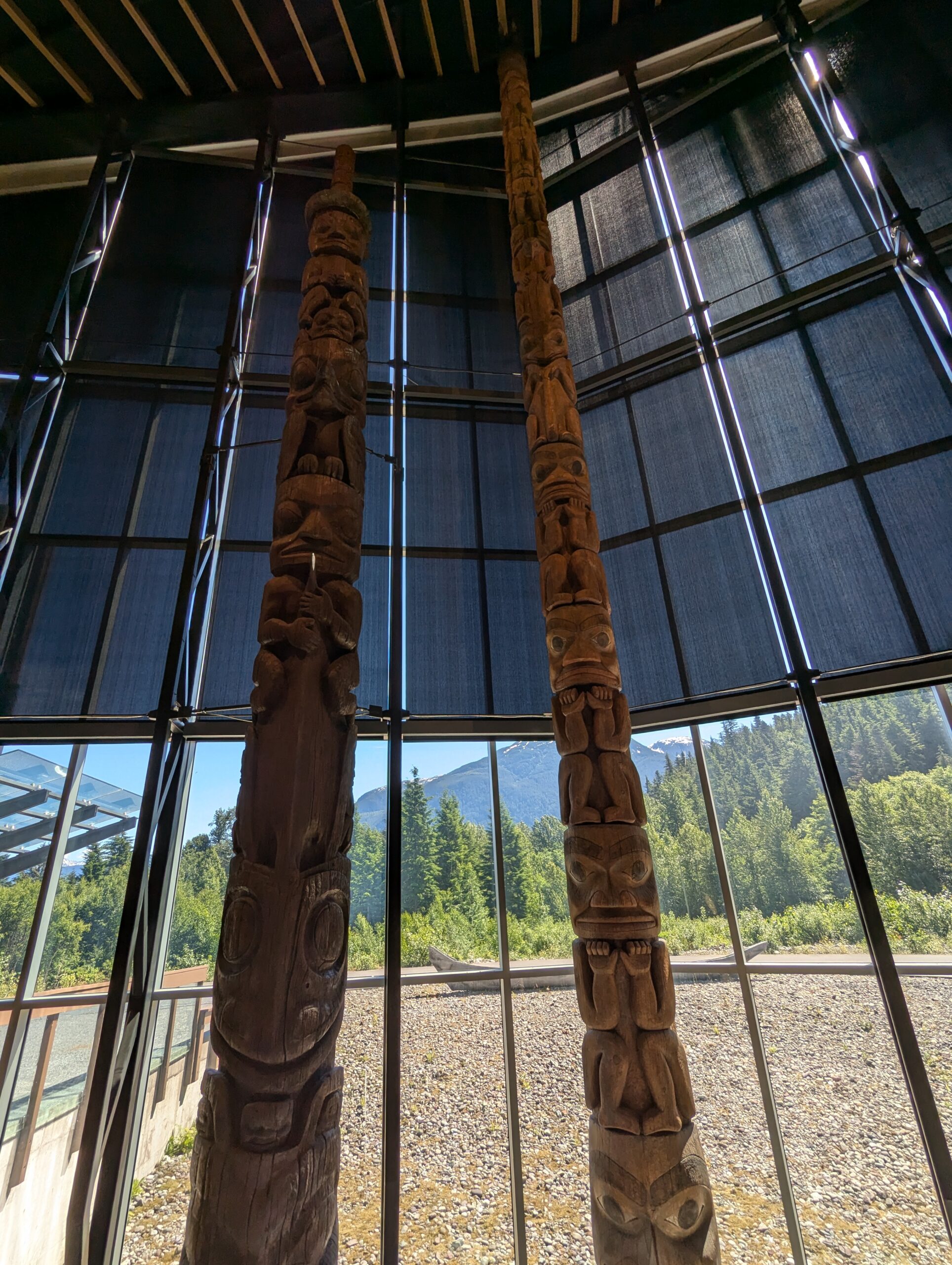
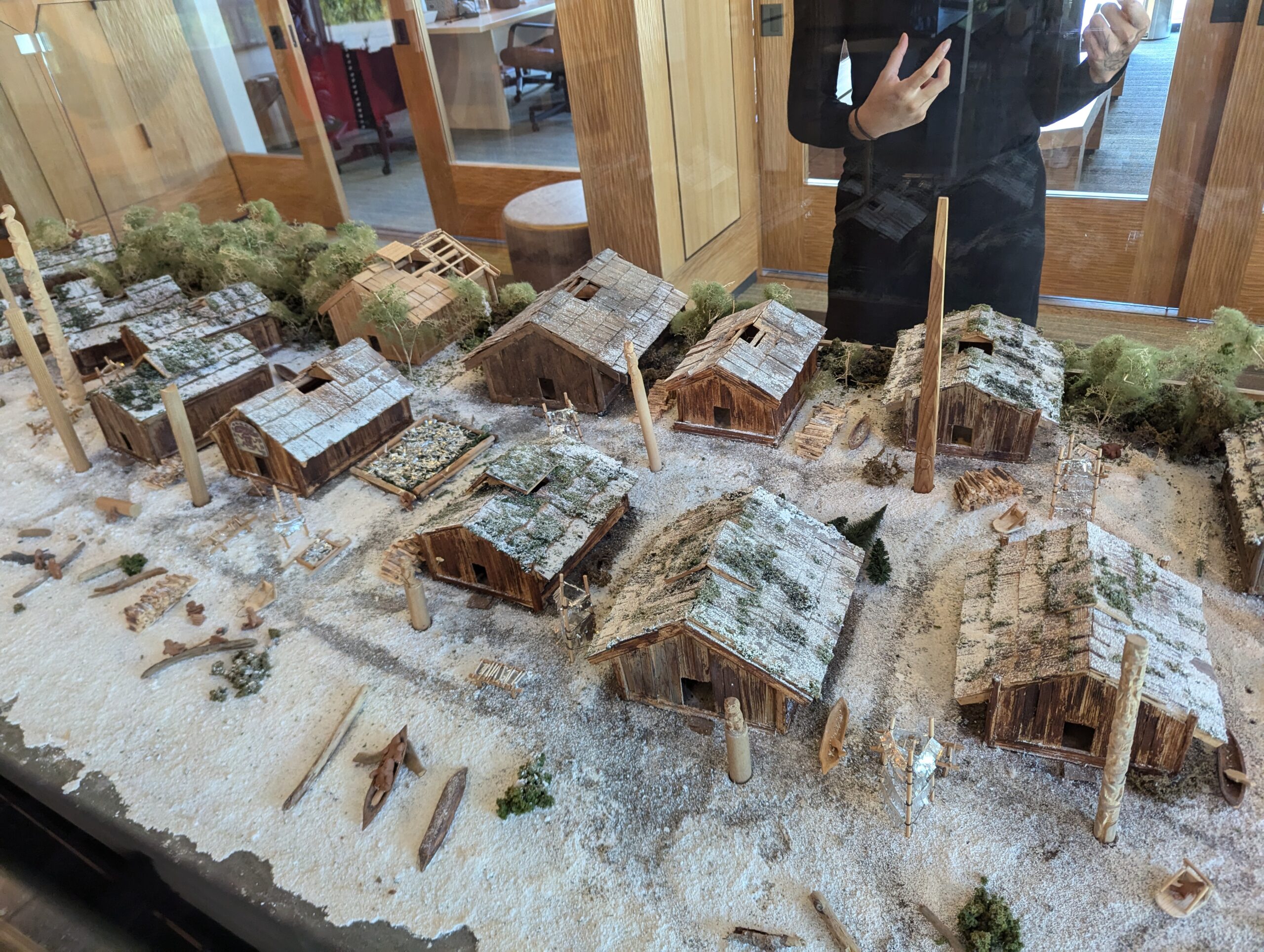
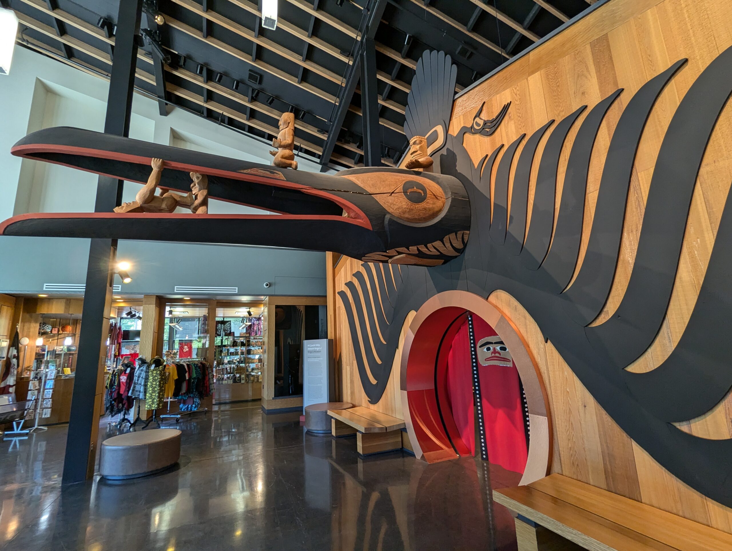
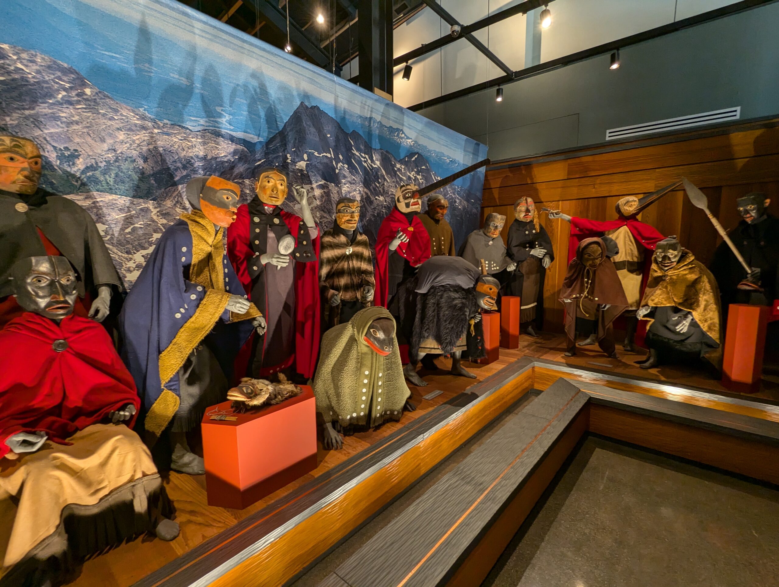
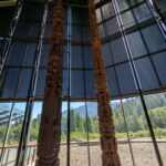
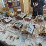
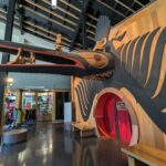
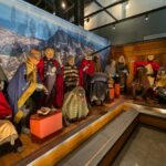
The lava bed continued for some time, and I eventually made my way west along the Nass River’s valley a Nisga’a museum. The exhibits mostly focused on Nisga’a culture and didn’t mention the volcano much at all, and it was cool that all admission comes with a guided tour so the Nisga’a could continue their tradition of oral history (there were very few written signs for any exhibits).


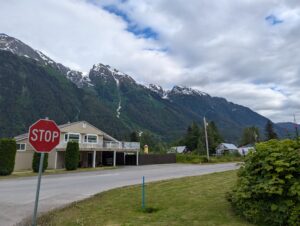
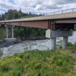
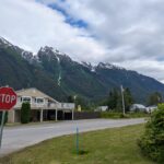
After backtracking the 40km to the park, I continued east onto my first northern haul road, the Cranberry Connector. After a few intimate encounters with logging and other heavy trucks (the road was only about 1.5x as wide as the trucks and with no shoulder) I re-joined the Stewart-Cassiar highway and headed north and then west into Stewart, just on the Alaska border.
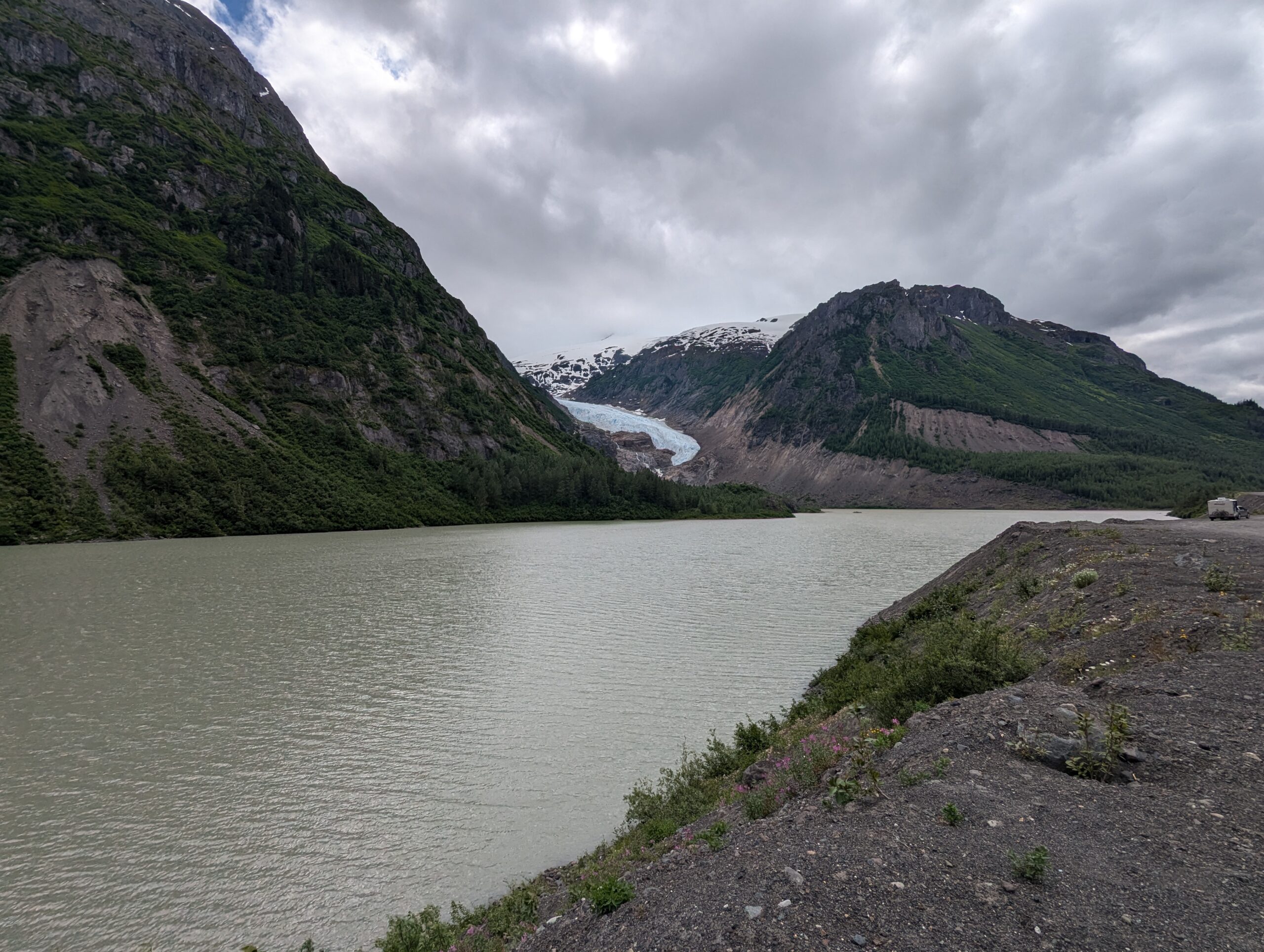
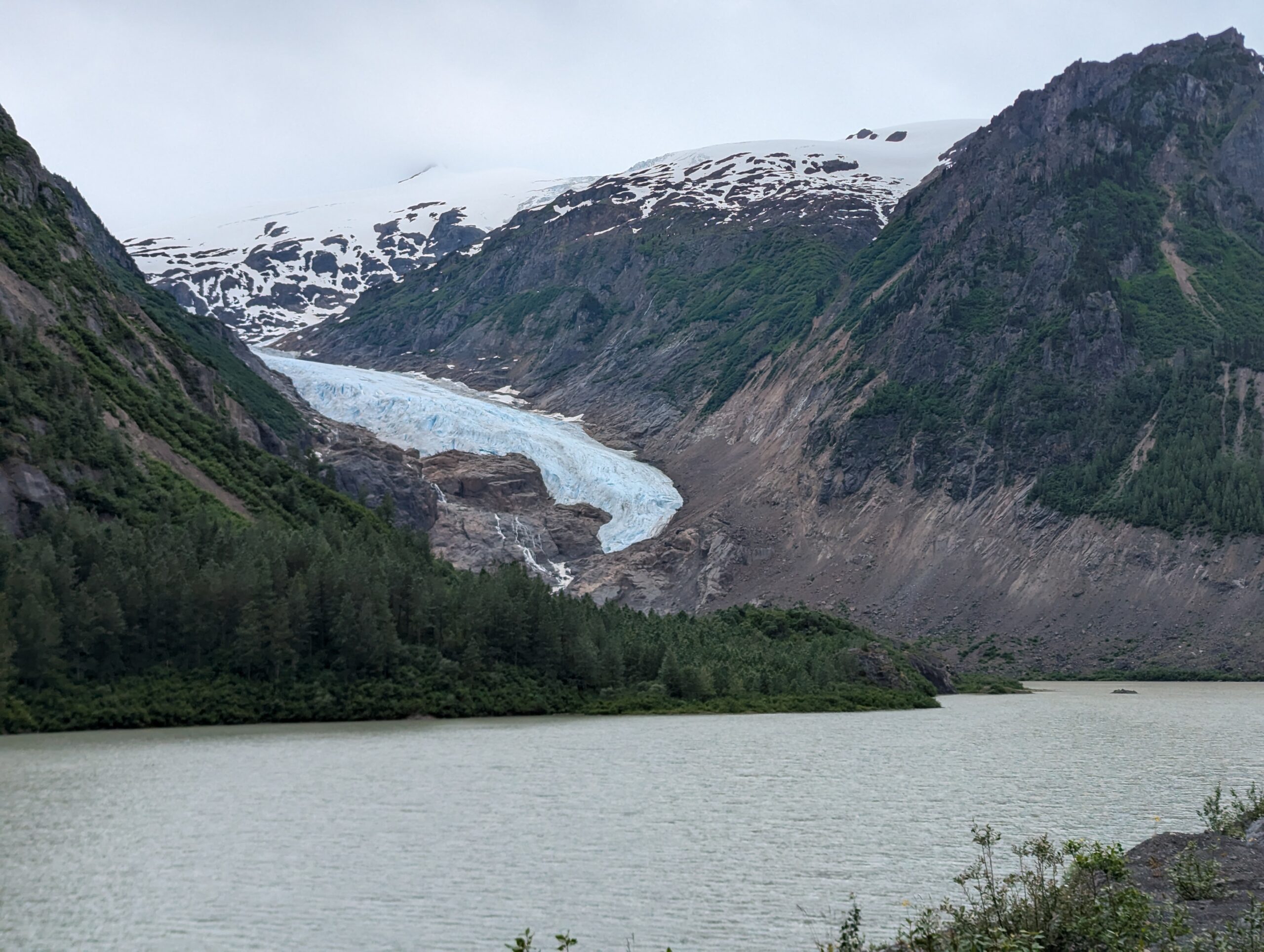
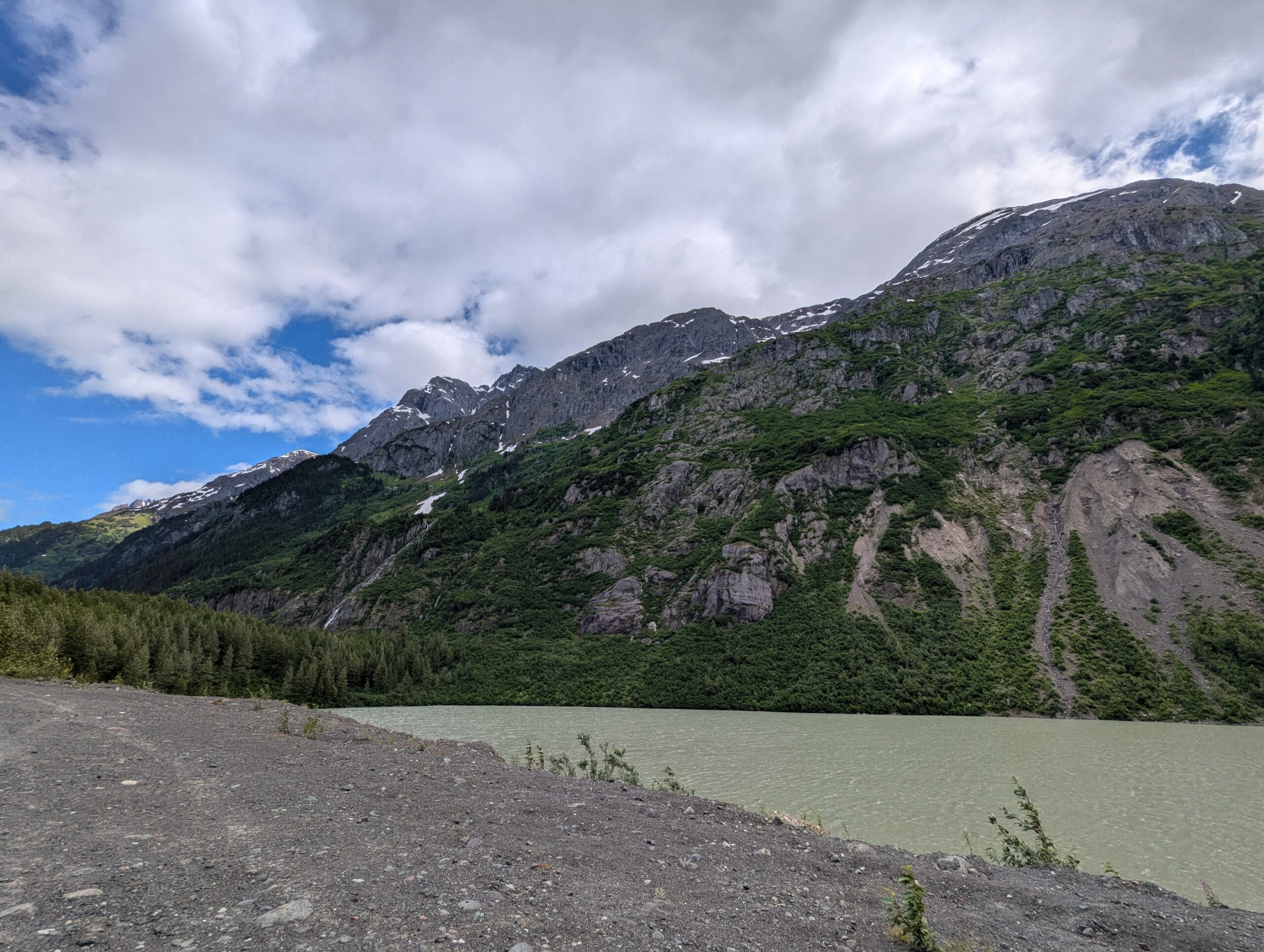
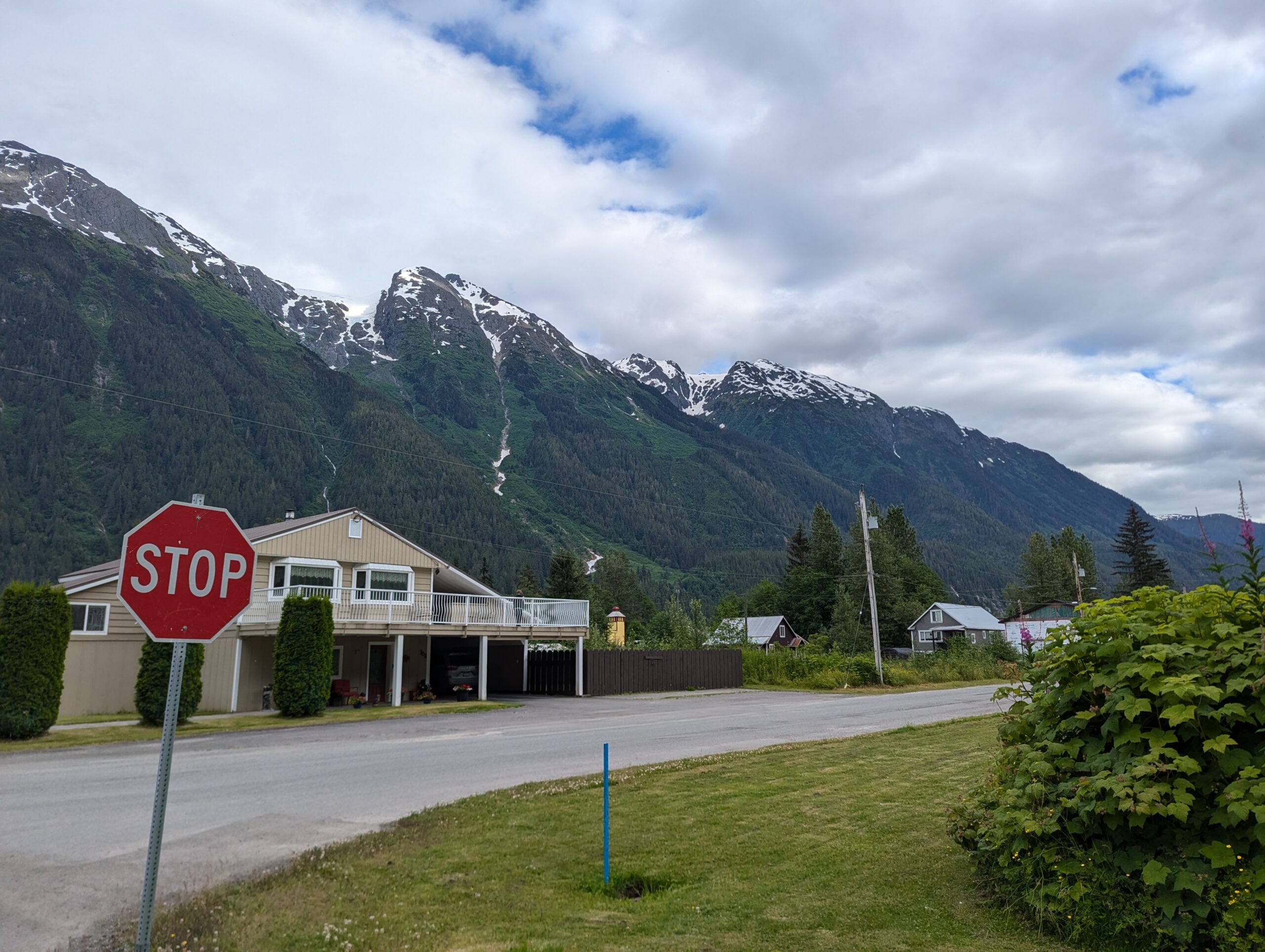
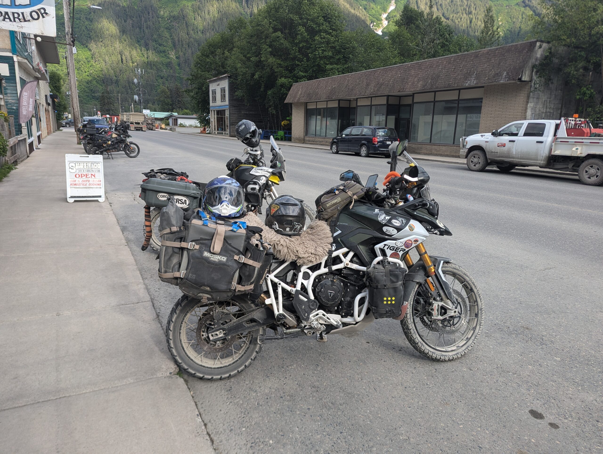
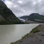
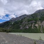
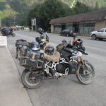
The road climbed into the mountains again and I was met with snow-capped peaks and ridges, deep mountain rivers, and glaciers almost the whole way down into town. Eating dinner, I met a group of three adventure riders. One was from PA and the other two were riding two-up on a Tiger from Wyoming, all heading up to Tuk and down into Alaska. I was mostly impressed with the passenger who was willing to take on that long of trip on the back seat of a motorcycle.
As I get further north and the options for routes narrows I’ve definitely been running across more riders, with a surprising number on mid-size adventure bikes. Tiger 800 & 900s in particular seem popular, but I’ve seen my share of KTM 890s, Aprilia Tauregs, and just one other Norden 901. The odd big ADV like BMW R1200GSs are here and there, but not as many as I was expecting.